How Long Does It Take To Drive Across Corsica?
Straight-line distances from Ajaccio, the Corte road times, and why the island's mountain roads set the pace.
Corsica is a French Mediterranean island of 8,722 km2, ringed by more than 1,000 km of coastline and topped by Monte Cinto at 2,706 m, and every road that crosses it has to argue with that relief. The island is compact on paper: Ajaccio sits about 104 km from Bastia and about 69 km from Bonifacio as the crow flies. The mountains in between, though, mean that a crossing is measured in winding hours rather than in kilometres. This page sets out what the figures say, which road times can be stated with confidence, and how to plan a crossing of the island without pretending the terrain is flat. The Corsica Travel Guide itinerary pages carry the day-by-day versions of the same question.
Why Is Driving In Corsica Slower Than The Map Suggests?
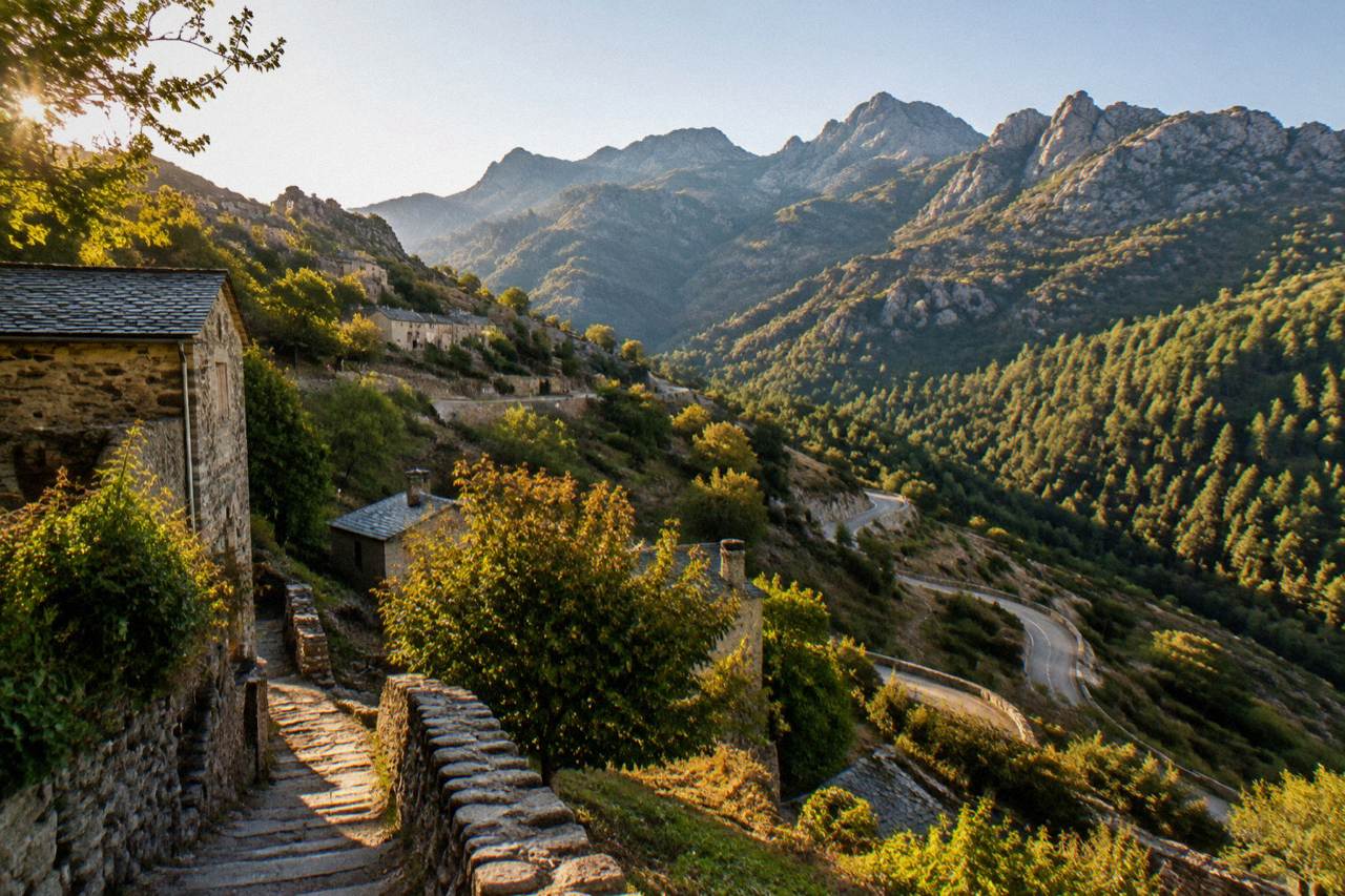
Corsica's roads are slow because the island is a mountain block with a fringe of coast: the interior climbs to 2,706 m at Monte Cinto, and the routes that cross it follow gorges, cols and valley floors with tight bends and short passing stretches. The road network carries no motorway across the massif, so a crossing is a sequence of mountain roads rather than one fast link. Live road status and pass accessibility levels are published by Inforoutes Corse.
The Parc naturel régional de Corse, created in 1972, now covers 4,484 km2 including the Castagniccia and the big valleys that run down to the sea, and its western sea front runs 80 km from Capu Rossu to Capu Cavallu. A large share of any crossing therefore happens inside or alongside the regional park. That has two practical effects: the roads are engineered for terrain rather than speed, and conditions can change, with cols carrying accessibility levels that Inforoutes Corse publishes live.
The other constraint is regulatory rather than topographic. From 15 June to 30 September it is forbidden to light a fire or smoke in forests, maquis and massifs, and the fire-risk map is updated at 18:00 each day for the next day, with access to some massifs restricted from mid-June to mid-September when danger levels are high. On red days a mountain crossing can be affected well beyond the hiking trails. Inforoutes Corse is the reference for current road status, including closures after storms, and it is the sensible first check before any long interior drive.
How Long Does It Take To Drive Across Corsica?
There is no single door-to-door time for crossing Corsica in the official sources: the only road times given are the routes into Corte, the island's old capital in the interior, which sits about 54 km from Ajaccio as the crow flies. From Ajaccio the drive to Corte takes 1 h 30, from Bastia 1 h, from Calvi 1 h 30, from Porto-Vecchio 2 h, and from Bonifacio 2 h 45, per the Musée de la Corse practical page.
Corte works as the hinge of any crossing because it stands in the middle of the island on the Ajaccio to Bastia axis. The Chemins de fer de la Corse line runs Ajaccio to Bastia via Corte, and the road network mirrors that spine. A driver landing in Bastia and heading for the south, or arriving in Ajaccio and aiming for Cap Corse, will pass through or near Corte's orbit, and the times above are the reliable anchors for estimating the whole.
For the rest of the island, the honest planning figures are straight-line distances, measured from Ajaccio, and they must stay that way: they are as the crow flies, never road distances and never converted into hours. The table below gives the set.
| Destination from Ajaccio | Straight-line distance |
|---|---|
| Bastia | about 104 km |
| Cap Corse | about 116 km |
| Saint-Florent | about 96 km |
| L'Île-Rousse | about 80 km |
| Calvi | about 71 km |
| Bonifacio | about 69 km |
| Porto-Vecchio | about 58 km |
| Scandola Nature Reserve | about 50 km |
| Aiguilles de Bavella | about 43 km |
| Sartène | about 39 km |
| Calanques de Piana | about 37 km |
| Propriano | about 31 km |
Read those numbers as a floor, not a forecast. Bonifacio at about 69 km as the crow flies from Ajaccio corresponds to a 2 h 45 road time via Corte country roads, and that ratio between the straight line and the road is what repeats across the island. Anyone planning day-to-day movement can pair these distances with the reasoning in how many days in Corsica is enough, and anyone weighing the alternatives should read do you need a car in Corsica before committing to a full crossing schedule.
For travellers who want the interior without driving its roads themselves, guided products cover the same ground: a Bavella and Ospedale 4x4 tour from Porto-Vecchio reaches the Aiguilles de Bavella massif with a driver who knows the tracks, Check availability for the dates that interest you.
How Long Does It Take To Reach Corte From Each Main Base?
The road times to Corte are 1 h from Bastia, 1 h 30 from Ajaccio, 1 h 30 from Calvi, 2 h from Porto-Vecchio, 2 h 45 from Bonifacio and 2 h 45 from Propriano, as published on the Musée de la Corse practical page. These are the only door-to-door drive times on this island that the official sources state, and they are the correct anchors for any crossing plan.
Corte is the old capital of Corsica and sits inland in the interior, which is exactly why its road times are so useful: reaching it means genuinely crossing the mountain block from either shore. The times also show how the island's shape punishes the south. Bonifacio, only about 69 km from Ajaccio as the crow flies, needs 2 h 45 to reach Corte, the same figure as Propriano, which is a much shorter straight-line 31 km from Ajaccio but lies on the far side of the southern massifs.
| Starting point | Road time to Corte |
|---|---|
| Bastia | 1 h |
| Ajaccio | 1 h 30 |
| Calvi | 1 h 30 |
| Porto-Vecchio | 2 h |
| Bonifacio | 2 h 45 |
| Propriano | 2 h 45 |
A practical consequence: pairing bases beats crossing daily. A stay in the Balagne around Calvi or L'Île-Rousse covers the northwest, a stay in Porto-Vecchio or Bonifacio covers the far south, and Corte can be worked in as a one-night stop rather than a twice-daily commute. The citadel and the Musée de la Corse sit at the top of the town, with one ticket covering museum and citadel, so an arrival mid-afternoon still leaves a visit: the museum keeps high-season hours of 10:00 to 19:00 daily from 1 May to 31 October, closed only on 1 May.
Which Corsican Roads Deserve The Most Time And Care?
The roads that set the pace of a Corsican crossing are the interior passes and the west coast around the Calanques de Piana and the Golfe de Porto, where the route between Ajaccio and Calvi, about 71 km as the crow flies, runs through high country and cliffside sections, and Inforoutes Corse publishes live accessibility levels for the main cols. No other route-specific drive times are available for these corridors, so they are planned with margin, not with hours.
The west of the island concentrates the relief. The Calanques de Piana lie about 37 km from Ajaccio as the crow flies and the Scandola Nature Reserve about 50 km, but the road between them and anywhere else is mountain road the whole way, and the reserve itself is accessible by boat only, which removes the car from the last leg entirely. The Aiguilles de Bavella, about 43 km from Ajaccio as the crow flies, sit at the end of another long climbing road from the south coast, and the RD 268 area around the col has seen both storm closures and fire-risk restrictions in recent years, none of them permanent, which is precisely why the live Inforoutes check matters before setting out.
Fire season reshapes interior driving from mid-June to mid-September. The ban on fires and smoking in forests, maquis and massifs runs 15 June to 30 September, the risk map is refreshed at 18:00 daily for the following day, and some massifs can see access restricted when the danger level is at its highest. The UK FCDO notes a high risk of wildfires in France from April to October, and the US State Department lists France at Level 2, Exercise Increased Caution. None of this stops a crossing, but it argues for building slack into any summer day that includes the interior, and for checking the day's map the evening before rather than at the wheel.
Should You Cross The Interior Or Follow The Corsican Coast?
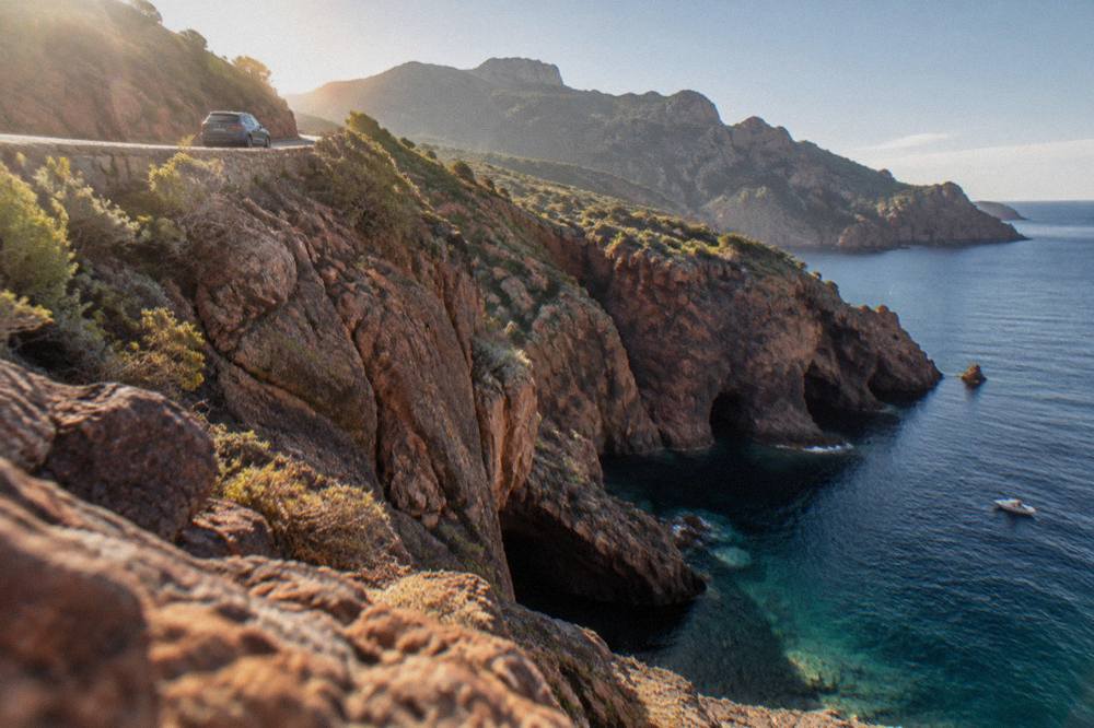
Cross the interior once and follow the coast the rest of the time: the Corte times show the mountain spine costs real hours, with Bonifacio and Propriano both 2 h 45 from Corte, while the coastal corridors link the main ferry ports at Ajaccio, Bastia, Calvi, L'Île-Rousse, Bonifacio, Propriano and Porto-Vecchio with the island's beaches and boat departures. For pure travel time between bases, the coast wins; for the landscape, the Corte crossing earns its hours.
The port geography supports the coastal argument. Corsica Linea sails Marseille to Ajaccio, Bastia, Propriano and L'Île-Rousse, La Méridionale sails Marseille to Ajaccio and Porto-Vecchio, Moby links Livorno and Genoa to Bastia and Santa Teresa Gallura to Bonifacio, and Corsica Ferries serves Ajaccio, Bastia, L'Île-Rousse, Porto-Vecchio and Propriano from Toulon and Nice, plus Livorno and Savona to Bastia. Arriving at the port nearest the base avoids an immediate crossing: a Marseille sailing into Propriano, for instance, puts a traveller within about 31 km as the crow flies of Ajaccio-side beaches only if they then drive, but within easy reach of the Valinco and Porto-Vecchio coasts straight off the ship. The details are covered in how do you get to Corsica.
The interior crossing still earns a place, and Corte is the natural prize, with the citadel, the museum and the Restonica valley country around it. The Désert des Agriates and its beaches at Saleccia and Lotu show a third pattern: reached by boat shuttle from Saint-Florent, by 4x4 track from Casta, or on foot, per the official tourism page, they are a reminder that some of the best of Corsica is reached with no road time at all. Mixing a boat day into a driving itinerary is often the fastest way to see the wildest shorelines, and it removes the slowest road legs from the plan entirely.
The interior can also be handed to someone else. The products below run guided days into the Corsican high country from coastal bases, pairing a mountain crossing with a driver who already knows the cols.
Common Questions About Driving Across Corsica
How Long Does It Take To Drive Across Corsica?
No single door-to-door time covers a full crossing. The only official road times are into Corte: 1 h from Bastia, 1 h 30 from Ajaccio and from Calvi, 2 h from Porto-Vecchio, and 2 h 45 from Bonifacio and from Propriano. Plan any crossing around those anchors and add margin for mountain roads.
How Far Is Bastia From Ajaccio?
About 104 km as the crow flies. That is a straight-line distance from places data, not a road distance, and it must never be converted into a drive time, because the route between the two towns crosses the island's mountain spine via the Corte corridor.
Do Mountain Passes In Corsica Close?
Yes. Inforoutes Corse publishes live road status and accessibility levels for the main cols, and the Col de Bavella area on the RD 268 has seen both storm-related closures and fire-season restrictions in recent years. Check the live map before any interior drive, since closures come and go with weather and fire risk.
Does Fire Season Affect Driving In Corsica?
It can. From 15 June to 30 September fires and smoking are banned in forests, maquis and massifs, the daily risk map is updated at 18:00 for the next day, and access to some massifs can be restricted from mid-June to mid-September when danger levels are at their highest. Roads, not just trails, can be affected.
Is It Better To Cross The Interior Or Stay On The Coast?
For travel time between bases, the coast is faster, since the coastal corridors link the main ports and beaches without the mountain spine.