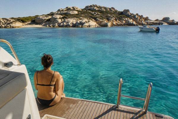
Is Corsica Better Than Sardinia?
An honest, fact-based comparison of Corsica and Sardinia: size, mountains, trails, climate, ferries and food, so you can pick the island that fits your trip.
Corsica and Sardinia face each other across the Strait of Bonifacio at the southern tip of each island, and the two are so close that a ferry covers the gap in about 50 to 60 minutes between Bonifacio and Santa Teresa Gallura, a route operated by Moby and Ichnusa Lines. That proximity invites the question of which island is the better choice, and the honest answer is that no ranking exists in any primary source. What does exist is a solid record of how Corsica is built, how it is reached, what its trails measure and what its climate normals say, and this page lays that record out so the decision becomes practical rather than a matter of taste. The fuller side-by-side detail sits in the Corsica versus Sardinia guide, and travellers weighing a single trip across both islands can start with visiting Corsica and Sardinia in one trip.
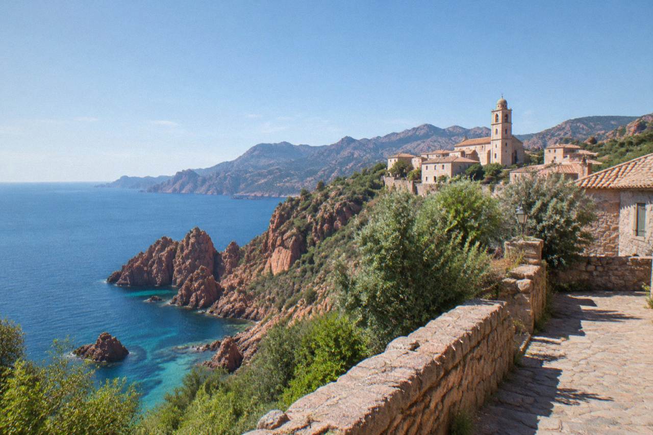
No source on either island supports calling one better than the other, and any ranking of beauty between Corsica and Sardinia would be invented. Corsica's claim on a traveller's time rests on measurable things: a mountainous interior rising to Monte Cinto at 2,706 m, more than 1,000 km of coastline, a UNESCO-listed reserve at Scandola reachable only by boat, and long-distance trails such as the 180 km GR20. Those are facts, not opinions, and they describe an island where the mountains sit close to the sea. Sardinia is a different island with a different shape and rhythm, and the choice between them comes down to what a trip is for: high hiking, cliff scenery and French island culture point to Corsica.
The useful comparison is not "better" but "different, in ways you can check". Corsica covers 8,722 km2 and is the fourth-largest island in the Mediterranean; that ranking is the only island-size ranking this page can state. Within that area, the Parc naturel régional de Corse, created in 1972, spans 4,484 km2 and includes the Castagniccia and big valleys that run down to the sea, with a western sea front running 80 km from Capu Rossu to Capu Cavallu. A large share of the island therefore sits inside a protected regional park, which shapes both the landscape and the rules that govern visits, from refuge bookings on the GR20 to the boat-only access at Scandola.
Language and administration differ too. Corsica is a French island, a single territorial authority with special status, the Collectivité de Corse, since 1 January 2018, covering the two departments of Corse-du-Sud and Haute-Corse. The island runs language programmes in Corsican, including immersion schools, though Corsican holds no official co-official status that any primary source confirms. Sardinia belongs to Italy, with its own distinct language situation. Neither fact makes an island better; both change what a visitor hears, reads and eats.
What Do The Landscapes And Trails Measure?
Corsica's interior is measured and published: Monte Cinto stands at 2,706 m, the GR20 runs 180 km north to south in about 15 stages of 4 to 8.5 hours each, and the island's coastline exceeds 1,000 km. The GR20, called Fra li Monti, is the island's signature trail, walked from the northern start at Calenzana, where a municipal order forbids departures after 11:00 for fire-risk reasons. The 2026 season runs with PNRC refuges guarded from 16 May to 4 October inclusive, and every night, whether a bunk or a bivouac pitch, must be booked online in advance.
Beyond the GR20, the park publishes a family of long trails with exact lengths, and their figures give a real sense of how much walking the island holds. The Mare e Monti Nord runs 121 km over 10 days to Cargèse with 6,100 m of climbing; Mare a Mare Nord covers 139 km, or 161 km with its variant; Mare a Mare Centre runs 84 km from Ghisonaccia to Porticcio; and Mare a Mare Sud finishes in Propriano after 73 km. A walker who wants hut-to-hut mountain days without the GR20's demand has several measured options, each mapped and maintained by the PNRC.
| Trail | Length | Days (PNRC) | Total climbing |
|---|---|---|---|
| GR20 (Fra li Monti) | 180 km | about 15 stages | not stated by the park |
| Mare e Monti Nord | 121 km | 10 | 6,100 m |
| Mare a Mare Nord | 139 km (161 km with variant) | 8 to 12 | 5,900 m |
| Mare a Mare Centre | 84 km | 7 (Ghisonaccia to Porticcio) | 3,900 m |
| Mare a Mare Sud | 73 km | 5 | 3,200 m |
| Mare e Monti Sud | 66 km | 5 | 2,700 m |
For 2026, the refuge rates are fixed and published: a bunk in a refuge costs EUR 20 per person, a bivouac pitch for your own tent EUR 12, a rented tent for one person EUR 27 and for two people EUR 39. Rental tents sleep two and come with a 3 cm mat per person, and you bring your own sleeping bag. Dogs are not allowed inside refuges or rented tents, and wild camping is banned across the island, with bivouacking permitted only in the marked areas near refuges. Whether Sardinia's trails compare is a question no source in this record answers, so it stays open here; what the record does say is that the GR20 is hard by design, with stages built for fit walkers.
On the sea side, the coastline carries its own protected landmark. The UNESCO property "Gulf of Porto: Calanche of Piana, Gulf of Girolata, Scandola Reserve", dossier 258, was inscribed in 1983 and covers 11,800 ha. Scandola itself, created by ministerial order on 9 December 1975, was the first nature reserve in Corsica, with 919 ha of land, 1,000 ha of sea and a 70 ha integral reserve, managed by the PNRC from the commune of Osani. The reserve played a part in saving the osprey in Corsica, and its land area is closed to the public: visits are by boat only, with no landing in the integral reserve, anchoring allowed by day outside protected zones and anchors lifted at sunset. Boat quotas and licences are being consolidated in a regulatory framework still being finalised, with no year attached to it.
Which Island Is Easier To Reach?
Corsica is served by four airports, Ajaccio Napoléon Bonaparte (AJA), Bastia Poretta (BIA), Figari Sud Corse (FSC) and Calvi Sainte-Catherine (CLY), and by ferries from Marseille, Toulon, Nice, Livorno, Savona, Genoa and Santa Teresa Gallura, with the short Sardinia link taking about 50 to 60 minutes. More than 8.5 million passengers, excluding cruise passengers, passed through Corsica's ports and airports in 2025, so the island is neither remote nor under-served, whatever the season.
The mainland ferry network is dense and operated by named companies: Corsica Linea sails Marseille to L'Île-Rousse, Bastia, Propriano and Ajaccio; La Méridionale sails Marseille to Ajaccio and Porto-Vecchio; Moby sails Livorno to Bastia, Genoa to Bastia and Santa Teresa Gallura to Bonifacio; Corsica Ferries sails from Toulon and Nice as well as Livorno and Savona to Bastia. Crossing times, quoted as ranges from ferry aggregators, run from about 4 to 5 hours on Livorno to Bastia up to about 12 to 13 hours, mostly overnight, on the Marseille routes.
| Ferry route to Corsica | Typical crossing time |
|---|---|
| Santa Teresa Gallura to Bonifacio | about 50 to 60 minutes |
| Livorno to Bastia | about 4 to 5 hours |
| Savona to Bastia | about 6.5 hours |
| Nice to Bastia | about 7.5 to 10 hours |
| Toulon to Bastia or Ajaccio | about 10 to 13 hours |
| Marseille to Ajaccio or Bastia | about 12 to 13 hours, mostly overnight |
The Bonifacio to Santa Teresa Gallura link matters for the comparison, because it makes Sardinia a day trip rather than a separate journey. The route was retained by Moby and Ichnusa Lines after Sardinia's transport authority found no rival operator, and the Sardinia day trip from Bonifacio and the Corsica Sardinia ferry guide cover it in detail. On land, the Chemins de fer de la Corse run three lines, Ajaccio to Bastia via Corte, Ponte-Leccia to Calvi and the Balagne coastal line between Calvi and L'Île-Rousse, a small railway network Sardinia does not mirror in the same form. Inforoutes Corse publishes live road conditions and accessibility levels for the main mountain passes, which matters on an island where the interior roads climb quickly.
How Does Corsica's Climate Compare?
Météo-France station normals for 1991 to 2020 show Corsica with a hot, dry summer and a mild, wet winter: Ajaccio averages a July rainfall of 8.6 mm and a mean daily high of 28.6 °C in July and 29.2 °C in August, while November carries 111.8 mm of rain. Bastia's normals run slightly wetter in autumn, with 134.3 mm in November and 126.5 mm in October.
The practical reading of the normals is straightforward. Summer days are hot and dry, with sunshine averaging 12.1 hours a day in July at Ajaccio, and the rain total for the whole year sums to 635.0 mm there against 816.9 mm at Bastia. October and November carry the heaviest rain at both stations, and snow falls only on the high mountains, which is why the GR20 refuges are guarded from mid-May to early October and why fire rules apply from 15 June to 30 September, when lighting fires or smoking in forests, maquis and massifs is forbidden. The daily fire-risk map is updated at 18:00 for the next day, and from mid-June to mid-September access to some massifs can be restricted on high-risk days. The full index of guides sits on Corsica Travel Guide.
| Month (Ajaccio station) | Mean daily high | Mean daily low | Rain |
|---|---|---|---|
| January | 14.0 °C | 4.7 °C | 54.1 mm |
| April | 18.5 °C | 8.3 °C | 53.1 mm |
| July | 28.6 °C | 17.7 °C | 8.6 mm |
| August | 29.2 °C | 18.1 °C | 15.8 mm |
| October | 22.8 °C | 12.6 °C | 85.7 mm |
| November | 18.3 °C | 9.0 °C | 111.8 mm |
For planning around these figures, the month-by-month detail in the best month to visit Corsica goes further, and swimmers can check the October normals in can you swim in Corsica in October. None of this says Corsica's weather beats Sardinia's; it says what a Météo-France station actually recorded over thirty years, which is the only kind of weather statement this site makes.
What About The Food And Culture?
Corsica's table is documented through its appellations: brocciu obtained its appellation d'origine in 1983, the charcuterie trio of prisuttu, lonzu and coppa gained AOC status in 2012 and AOP in 2014, and olive oil, chestnut flour and honey all carry protected Corsican names. The wine appellations include Patrimonio, Ajaccio, Vin de Corse with its named crus such as Calvi, Figari, Porto-Vecchio and Sartène, and Muscat du Cap Corse, built on the Nielluccio and Sciaccarellu red grapes and Vermentinu for whites. Sardinia has its own appellations and its own kitchen, and no source here compares the two tables, so the honest line is that they are simply different cuisines.
The Protected designation record runs deep for a small island. Corsican honey holds an AOP under the name Mele di Corsica, Corsican olive oil under Oliu di Corsica with recognition effective in 2004, and chestnut flour under Farina castagnina corsa, with the defence body created in 2001. The Nustrale pig breed was recognised in 2006, underpinning the charcuterie appellations, and the Clémentine de Corse took its IGP in 2007. About 98% of metropolitan France's citrus area sits in Corsica on CESEC data from the 2014 era, a figure that shows how concentrated the island's specialty farming is even if it should not be read as current. Tasting these products in place is the point of the Corsican food guide, and a walk through Ajaccio with tastings pairs them with the town's history.
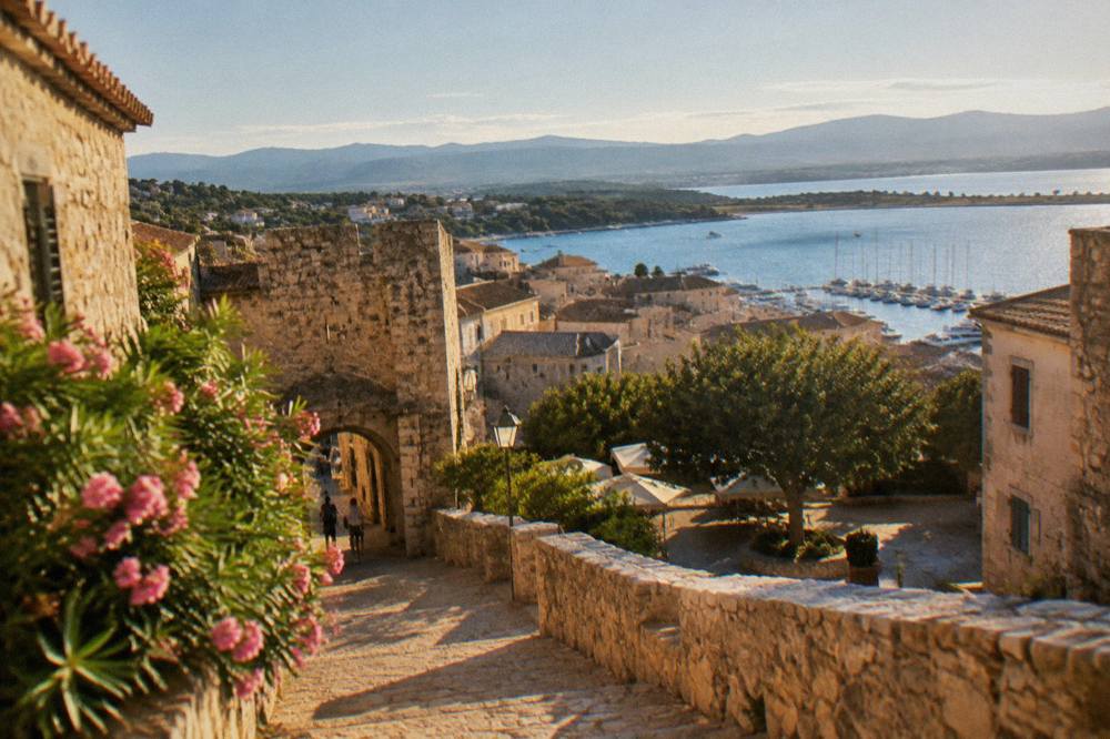
Culture on the ground shows up in the perched villages of the interior, the citadels of Bonifacio, Corte, Bastia and Calvi, and prehistoric sites such as Filitosa, open 1 April to 2 November with full entry at EUR 9. The island's museums anchor that record too: Maison Bonaparte in Ajaccio, closed Mondays, costs EUR 10 full price with free entry for EU residents under 26, and the Musée de la Corse in Corte charges EUR 5.50, one ticket covering both museum and citadel. A trip built around these places looks nothing like a beach-only stay, and that contrast is exactly where Corsica's case against any rival island is strongest: the mountain interior sits an hour and a half's drive from the coast. Travellers who want that interior without hiking it can look at the Corsica day trip to the old hilltop villages, a small-group tour from the Calvi area, and Check availability once dates are firm.
So Which Island Should You Choose?
Choose Corsica if the trip wants mountains close to the sea, measured long-distance trails, a UNESCO reserve reachable only by boat and a French island's food culture, all inside 8,722 km2 with more than 1,000 km of coastline; choose Sardinia if the pull is toward its own very different beaches, scale and Italian island life, which this record can rank nowhere. The strait between them takes under an hour to cross from Bonifacio, so the choice is not exclusive, and plenty of travellers pair a Sardinian leg with a Corsican one on a single itinerary.
A few practical weights help settle it. If hiking is the reason to fly, Corsica's trail network is fully measured, from the 180 km GR20 to six other named routes, and its refuges take online bookings with fixed 2026 rates. If boat days matter, Scandola's boat-only access and the Îles Lavezzi inside the Bouches de Bonifacio reserve give Corsica two protected marine landmarks, and is Scandola worth it covers the case for the first of them. If ease of access decides, the four airports and seven ferry corridors listed above make Corsica straightforward from both France and Italy, and how do you get to Corsica maps every option.
Budget questions have their own page, is Corsica expensive, and the island's standing as a destination is argued in is Corsica worth visiting. What no page on this site will do is declare one island's beauty superior to another's, because no primary source does, and a traveller deserves better than an invented ranking.
Common Questions About Corsica Versus Sardinia
Is Corsica Better Than Sardinia?
No source ranks one island above the other. Corsica's case rests on measurable facts: a mountainous interior rising to Monte Cinto at 2,706 m, more than 1,000 km of coastline, the UNESCO-listed Scandola reserve reachable only by boat, and a fully measured trail network led by the 180 km GR20. The right question is which island fits the trip you want.
How Far Apart Are Corsica And Sardinia?
The two islands face each other across the Strait of Bonifacio, and the ferry between Bonifacio and Santa Teresa Gallura covers the crossing in about 50 to 60 minutes. The route is operated by Moby and Ichnusa Lines and was retained after Sardinia's transport authority found no rival operator.
Can You Visit Both Islands On One Trip?
Yes. The short Bonifacio to Santa Teresa Gallura ferry makes Sardinia a practical extension of a Corsican stay, and many travellers cross for a day or for several nights. The pairing is covered in detail in the guide to visiting Corsica and Sardinia in one trip.
Which Island Has The Harder Hiking?
Corsica's hiking is fully documented: the GR20 runs 180 km north to south in about 15 stages of 4 to 8.5 hours, with refuge nights booked online and refuges guarded from 16 May to 4 October 2026. No comparable figure for Sardinia's trails appears in this record, so no comparison is made here.
Is Corsica Bigger Than Sardinia?
Corsica covers 8,722 km2 and is the fourth-largest island in the Mediterranean. That is the only island-size ranking any primary source in this record supports, and no cross-island size comparison is stated beyond it.
Do They Speak The Same Language On Both Islands?
No. Corsica is a French island, and the Collectivité de Corse runs Corsican-language programmes including immersion schools, though Corsican holds no official status that a primary source confirms. Sardinia is Italian and has its own language tradition.