Where Is Corsica Located?
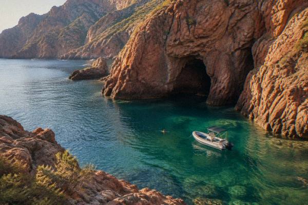
Where is Corsica located? Corsica is a French island in the Mediterranean Sea, west of Italy and north of Sardinia, with 1,000 km of coastline and mountains rising to 2,706 m.
Corsica is a French island in the Mediterranean Sea, positioned in the strait between the Italian mainland and the French mainland, with Sardinia just to the south. It is the fourth-largest island in the Mediterranean, it covers 8,722 km2, and it has more than 1,000 km of coastline wrapped around a mountainous interior that tops out at Monte Cinto, 2,706 m above the sea. The island is the Collectivité de Corse, a single territorial authority covering the two departments of Corse-du-Sud and Haute-Corse, and INSEE's provisional estimate puts its population at 365,636 as of 1 January 2026.
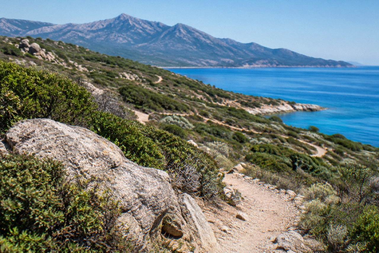
Because the island sits in the middle of the western Mediterranean, near Italy and Sardinia and the shipping lanes between them, its position shapes everything about it: the ferries that serve it, the language layers in its place names, the mountains that drop straight into the sea on its west coast, and the way its beaches, coves and boat trips define a visit. Corsica's exact location, its surroundings, and the ways its position affects getting there are covered in detail below.
Corsica is located in the Mediterranean Sea, west of the Italian peninsula and immediately north of the Strait of Bonifacio, which separates it from the French island of Sardinia's northern neighbour, the Italian island of Sardinia. It is a French island, administratively the Collectivité de Corse, divided into Corse-du-Sud and Haute-Corse. Its two largest towns are Ajaccio, the capital, and Bastia, on the northeast coast.
Ajaccio lies on the west coast of the island and had 76,320 residents at the last census count, while Bastia, at the base of the Cap Corse peninsula on the northeast side, had 46,867. The old capital, Corte, sits inland in the mountains at the geographic heart of the island, roughly 1 hour by road from Bastia, 1 hour 30 from Ajaccio and 1 hour 30 from Calvi. Around two thirds of the island's land falls inside the Parc naturel régional de Corse, created in 1972, which now covers 4,484 km2 and includes the Castagniccia and the big valleys running down to the sea, with a western sea front running 80 km from Capu Rossu to Capu Cavallu.
The geography is simple to summarise: sea on every side, mountains through the middle. The island counts 360 communes, and its coastline runs to more than 1,000 km, about 1,090 km if islets and estuaries are excluded. Its interior is the only part that counts as inland: Corte, the Niolu and the high massifs including Monte Cinto. Everything else faces the water.
| Fact | Figure |
|---|---|
| Region | Mediterranean Sea |
| Country | France |
| Administration | Collectivité de Corse |
| Departments | Corse-du-Sud (2A), Haute-Corse (2B) |
| Area | 8,722 km2 |
| Ranking | Fourth-largest Mediterranean island |
| Coastline | More than 1,000 km |
| Highest point | Monte Cinto, 2,706 m |
| Communes | 360 |
| Population | 365,636 (1 January 2026, provisional) |
What Countries And Islands Surround Corsica?
Corsica's nearest neighbour across the water is Sardinia, reached through the Strait of Bonifacio at the island's southern tip, where the ferry from Bonifacio to Santa Teresa Gallura takes about 50 to 60 minutes. To the east lie the Italian mainland and Tuscany, whose port of Livorno connects to Bastia. To the north and west lie the French mainland ports of Nice, Toulon and Marseille.
That position is why the island's ferry map fans out in three directions. Corsica Linea and La Méridionale run year-round services from Marseille, Corsica Ferries sails from Toulon and Nice on the French side, and on the Italian side Corsica Ferries and Moby connect Livorno to Bastia, with Moby also serving Genoa to Bastia and, with Ichnusa Lines, the short Santa Teresa Gallura to Bonifacio link. The full picture of routes and crossing ranges is covered in how to get to Corsica.
The island is also served by four airports: Ajaccio Napoléon Bonaparte (AJA), Bastia Poretta (BIA), Figari Sud Corse (FSC) near Bonifacio and Porto-Vecchio, and Calvi Sainte-Catherine (CLY) in the Balagne. In 2025, more than 8.5 million passengers passed through Corsica's ports and airports, cruise passengers excluded, according to the ORTC and DREAL annual report.
| Ferry route | Operator | Typical crossing |
|---|---|---|
| Santa Teresa Gallura to Bonifacio | Moby, Ichnusa Lines | About 50 to 60 minutes |
| Livorno to Bastia | Corsica Ferries, Moby | About 4 to 5 hours |
| Savona to Bastia | Corsica Ferries | About 6.5 hours |
| Toulon to Bastia or Ajaccio | Corsica Ferries | About 10 to 13 hours |
| Marseille to Ajaccio or Bastia | Corsica Linea, La Méridionale | About 12 to 13 hours, often overnight |
Which Towns Sit Where On The Corsican Map?
Ajaccio, the capital, sits on the southwest coast facing the Îles Sanguinaires; Bastia anchors the northeast at the base of Cap Corse; Calvi and L'Île-Rousse line the northwest Balagne coast; and Bonifacio and Porto-Vecchio hold the far south. Corte sits inland at the mountainous centre, the old capital of the island, about an hour by road from Bastia.
Each coastal stretch has its own character and its own boat trips. From Ajaccio, gulf cruises reach the Îles Sanguinaires; from Porto and Cargèse on the west coast, boats run to the UNESCO-listed Gulf of Porto, the Calanques de Piana and the Scandola Reserve, inscribed in 1983 as "Gulf of Porto: Calanche of Piana, Gulf of Girolata, Scandola Reserve". In the far south, Bonifacio's boats cross to the Îles Lavezzi inside the Bouches de Bonifacio Nature Reserve. On the northwest coast, catamarans out of L'Île-Rousse work east along the Désert des Agriates, whose beaches, Saleccia and Lotu among them, are reached by boat shuttle from Saint-Florent, by 4x4 track from Casta, or on foot.
The position of each town explains its ferries. Bastia faces Italy, so it takes the Livorno, Savona and Genoa traffic. Ajaccio, Propriano and Porto-Vecchio face France, so they take the Marseille, Toulon and Nice traffic. Bonifacio faces Sardinia across the strait, and L'Île-Rousse and Calvi round out the ports list on the northwest coast. The capital question is answered in full on what the capital of Corsica is.
How Does Corsica's Location Shape Its Weather?
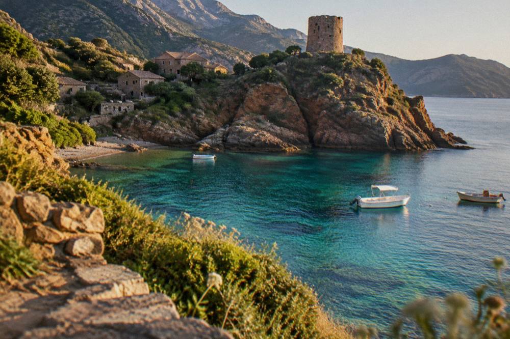
Because Corsica lies in the middle of the western Mediterranean, it has a hot, dry summer and a mild, wet winter, with snow confined to the high mountains. The Météo-France 1991-2020 station normals for Ajaccio show July averaging 8.6 mm of rain and August a mean daily high of 29.2 °C, while November carries 111.8 mm of rain.
The Bastia station normals, from the same 1991-2020 period, show a similar shape with more rain on the east side: October averages 126.5 mm and November 134.3 mm at Bastia, against 85.7 mm and 111.8 mm at Ajaccio. Sunshine averages 12.1 hours a day at Ajaccio in July. These are station averages, not forecasts, and the mountain interior runs colder than both coasts, which is why the GR20 long-distance trail guards its refuges only from mid-May to early October. The rest of the planning pages sit on Corsica Travel Guide.
The island's position also puts it in the Mediterranean wildfire zone. From 15 June to 30 September it is forbidden to light a fire or smoke in forests, maquis and massifs, and the daily fire-risk map is updated at 18:00 for the next day. The UK FCDO notes a high risk of wildfires in France from April to October.
Where Should You Base Yourself Given Where Corsica Is?
Base yourself by geography: Ajaccio or Porto-Vecchio for south and west boat trips and beaches, Bonifacio for the cliffs and the Lavezzi islands, Calvi or L'Île-Rousse for the Balagne and the Agriates, Bastia for Cap Corse and the Italian ferry links, and Corte for the mountains, the Restonica valley and the island's centre.
Distances between these bases matter more than the map suggests, because mountain roads slow everything down. The road times to Corte, at the island's centre, give a sense of scale: 1 hour from Bastia, 1 hour 30 from Ajaccio, 1 hour 30 from Calvi, 2 hours from Porto-Vecchio, and 2 hours 45 from both Bonifacio and Propriano. More on timing a trip, including whether a car is worth it, sits in whether you need a car in Corsica and how many days are enough for Corsica.
One trip style suits the island's sea-surrounded layout especially well: a boat day. A full-day catamaran trip in the Agriates from L'Île-Rousse reaches the coastline of the Désert des Agriates, and the fuller itinerary options are on the L'Île-Rousse full-day catamaran trip page, with live dates and pricing. The same waters can be explored from the land side on Check availability the operator's calendar before committing to a date.
Is Corsica Closer To Sardinia Than To Mainland France?
By sea, yes: the short hop across the Strait of Bonifacio between Bonifacio and Santa Teresa Gallura in Sardinia takes about 50 to 60 minutes, while the shortest mainland ferry crossings from Livorno to Bastia run about 4 to 5 hours and the French crossings from Marseille take about 12 to 13 hours, often overnight.
That proximity is why so many travellers combine the two islands, and the comparison runs deeper than distance. Corsica is French, Sardinia is Italian, and the strait between them is a protected stretch of water, the Bouches de Bonifacio Nature Reserve, with the Îles Lavezzi sitting inside it. The full island comparison is drawn out in whether Corsica is better than Sardinia, and the two-island question in whether you can visit Corsica and Sardinia in one trip.
Common Questions About Where Corsica Is Located
Where Is Corsica Located?
Corsica is a French island in the Mediterranean Sea, lying between the Italian mainland to the east and the French mainland to the north and west, with Sardinia to the south across the Strait of Bonifacio. It covers 8,722 km2 and is the fourth-largest island in the Mediterranean.
Is Corsica Part Of France Or Italy?
Corsica is part of France, administered as the Collectivité de Corse, a single territorial authority with special status that has been in place since 1 January 2018. It is divided into the two departments of Corse-du-Sud and Haute-Corse.
What Is The Closest Country To Corsica?
Italy is the closest country: Sardinia, an Italian island, lies just across the Strait of Bonifacio at Corsica's southern tip, with a ferry crossing of about 50 to 60 minutes between Bonifacio and Santa Teresa Gallura, and the Italian mainland port of Livorno connects to Bastia in about 4 to 5 hours.
Which Sea Surrounds Corsica?
The Mediterranean Sea surrounds Corsica on every side, and the island has more than 1,000 km of coastline. Its western sea front inside the Parc naturel régional de Corse runs 80 km from Capu Rossu to Capu Cavallu.
How Many People Live On Corsica?
INSEE's provisional estimate puts the population of Corsica at 365,636 as of 1 January 2026, with 76,320 in Ajaccio and 46,867 in Bastia.
What Are The Main Towns And Where Do They Sit?
Ajaccio, the capital, is on the southwest coast; Bastia is on the northeast at the base of Cap Corse; Calvi and L'Île-Rousse are in the northwest Balagne; Bonifacio and Porto-Vecchio are in the far south; and Corte, the old capital, sits inland in the mountains at the centre of the island.
Every one of those towns faces the same sea, and the whole layout of the island, mountains in the middle, ports and beaches around the rim, follows from its position in the Mediterranean between France, Italy and Sardinia.