L Ile Rousse
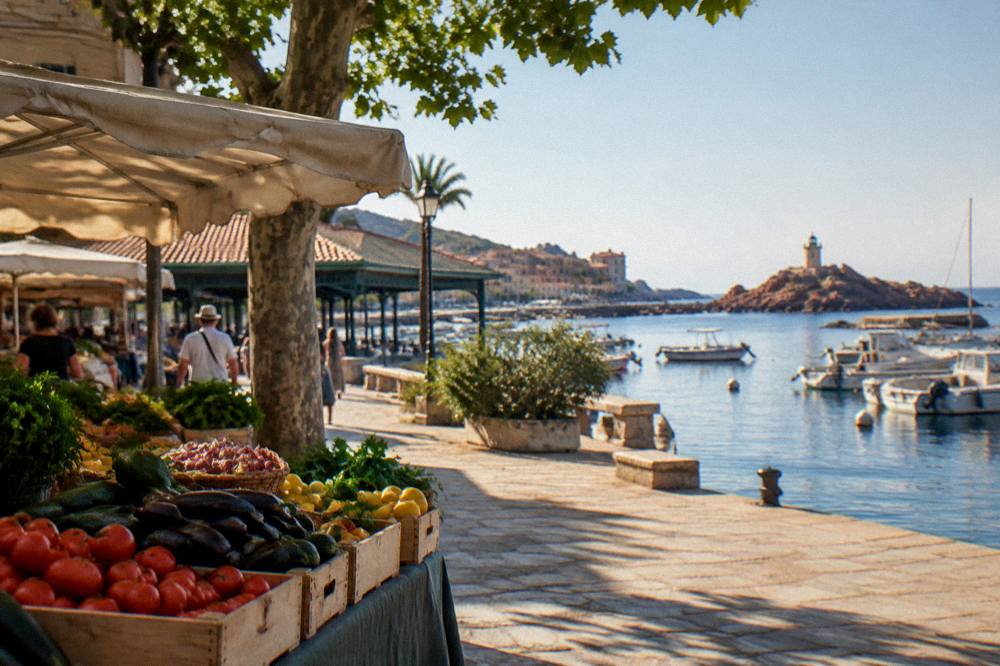
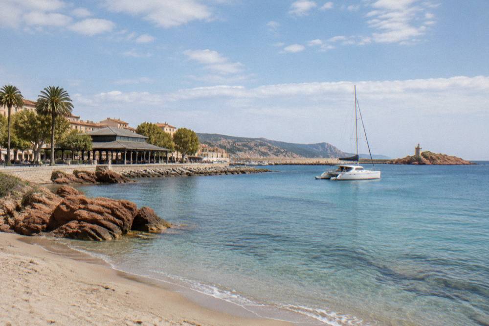
L'Île-Rousse sits on Corsica's northwest coast in the Balagne, between Calvi and the Désert des Agriates, with ferry links to the mainland and catamaran trips along one of the island's most protected shorelines.
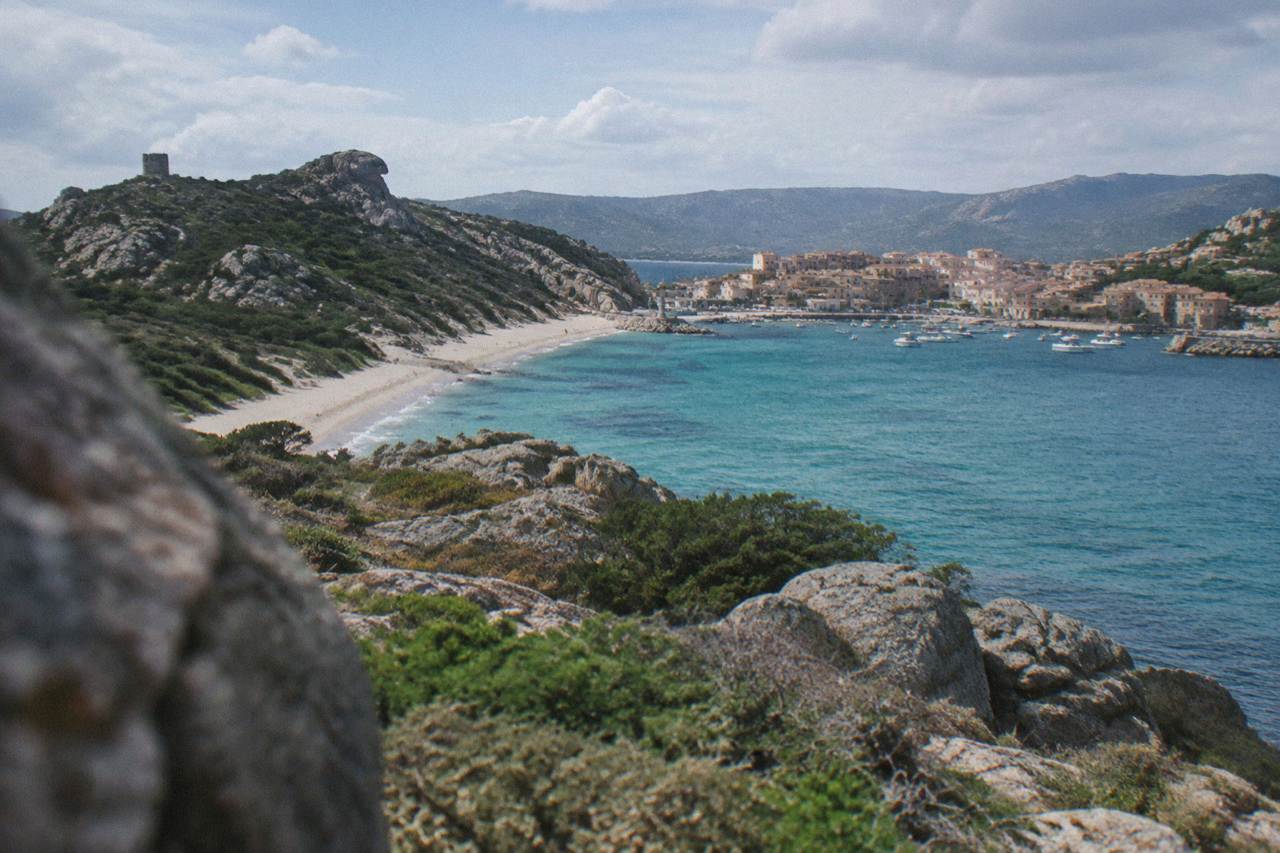
L'Île-Rousse is a ferry port and seaside base in the Balagne region of northwest Corsica, linked to Calvi by the coastal Chemins de fer de la Corse line and used by travellers heading for boat trips into the Désert des Agriates and wine tastings in the surrounding hills.
L'Île-Rousse is a coastal town in the Balagne, the northwest corner of Corsica, the French Mediterranean island with more than 1,000 km of coastline and a mountainous interior that rises to Monte Cinto at 2,706 m. The town works as a port and a base: Corsica Linea sails there from Marseille, Corsica Ferries links it to Toulon and Nice, and the Chemins de fer de la Corse run the Balagne coastal line between Calvi and L'Île-Rousse. The big draw offshore is the Désert des Agriates, the protected stretch of coast and maquis whose beaches, Saleccia and Lotu among them, are reached by boat or by tracks. This guide from the Corsica Travel Guide covers what the town offers, how the sea trips work, and the practical facts of ferries, weather and hiking.
Where Is L'Île-Rousse In Corsica?
L'Île-Rousse stands on the northwest coast of Corsica, in the Balagne region, roughly between Calvi to the west and the Désert des Agriates to the east, and it is one of the island's ferry ports. It belongs to Haute-Corse, one of the two departments of the Collectivité de Corse, and its sea front faces the Mediterranean that shapes almost everything there is to do in and around the town.
The Balagne as a region is covered in depth on the Calvi and the Balagne area guide, and the wider island picture is on the Corsica regions overview. L'Île-Rousse's role in that picture is twofold: it is a gateway, because ferries arrive there from mainland France, and it is a departure point for the sea, because the catamaran and boat excursions along the Agriates coast leave from the port area. The Chemins de fer de la Corse also serve the town, on the Balagne coastal line between Calvi and L'Île-Rousse, and the network's other lines run Ajaccio to Bastia via Corte and Ponte-Leccia to Calvi.
Corsica itself covers 8,722 km2 and counts 360 communes; the Parc naturel régional de Corse, created in 1972, stretches across 4,484 km2 of the interior and the west coast. The Agriates lie just along the coast from L'Île-Rousse, and their beaches are among the island's best known, which is why so much of what follows is about the sea.
What Are The Best Things To Do Around L'Île-Rousse In Corsica?
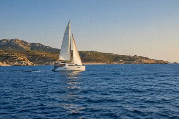
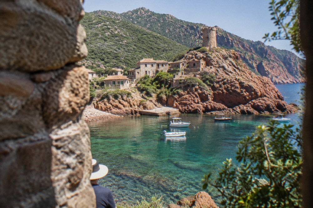
The core activities around L'Île-Rousse are sea-based: catamaran trips into the Désert des Agriates with swim stops, snorkelling and aperitifs on board, plus wine tastings in the Balagne hills behind the town and, further afield, canyoning in the Corsican mountains. The town's port position means boat days and wine days are the two halves of a stay, with the coastal train connecting it all to Calvi.
The sea option comes in several shapes. The full-day catamaran trips run into the Agriates, the protected coastal desert whose beaches are otherwise awkward to reach, and they carry small groups with swim stops along the way. Shorter sunset outings add an aperitif on board. Check availability
The land option is the Balagne's wine country. Guided wine tastings around Calvi and Île-Rousse take in local producers, and Corsican wine appellations include Patrimonio, Ajaccio, Vin de Corse with named crus such as Calvi, and Muscat du Cap Corse, with Nielluccio and Sciaccarellu as red grapes and Vermentinu as the white, as reported by the island's tourism board. For something more physical, canyoning trips run in the Richiusa canyon near Bocognano, inland from Ajaccio, a reminder that the mountainous interior is never far from the coast.
The table below groups the kinds of days available from the town, without prices, since those print with each product.
| Type Of Day | What It Covers | Where From |
|---|---|---|
| Full-day catamaran | The Agriates coast, swim stops, small group | L'Île-Rousse |
| Sunset catamaran | Aperitif on board, shorter coastal run | L'Île-Rousse |
| Wine tasting | Balagne producers around Calvi and Île-Rousse | Calvi and Île-Rousse |
| Canyoning | Richiusa canyon, guided descent, gear included | Bocognano, inland |
Which Boat Trips Run From L'Île-Rousse Into The Agriates?
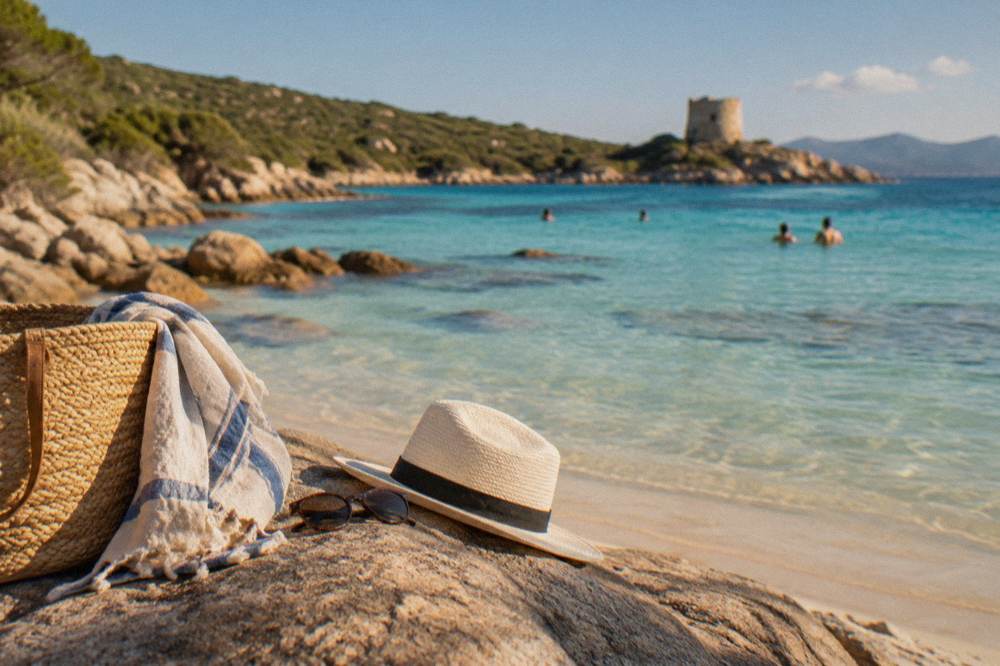
Boat trips from L'Île-Rousse head east along the Désert des Agriates, the protected coastal region whose main beaches, Saleccia and Lotu, are otherwise reached by boat shuttle from Saint-Florent, by 4x4 track from Casta, or on foot. Catamaran excursions from L'Île-Rousse run as full days with swim stops, or as shorter aperitif-and-sunset sailings, according to the operator listings.
The Agriates are the reason the sea here is busy. The Saleccia beach guide covers the best-known of the two great beaches in detail, and the access pattern, reported by the island tourism board, is stable: shuttle boats run from Saint-Florent roughly April to October, weather permitting, a 4x4 track runs from Casta, and walkers can come in on foot. From L'Île-Rousse the catamarans approach the same coast from the north, a day on the water with swimming stops rather than a transfer.
Choosing between the formats is mostly about time and tolerance for a full day afloat. The full-day catamaran trip gives the deepest run into the Agriates and a swim stop; the aperitif sunset sailing is an evening on the water with Corsican rosé; and the shuttles from Saint-Florent are point-to-point crossings for beach time. For a different coastline altogether, the Scandola boat tour guide covers the UNESCO reserve on the west of the island, reached from Porto and Calvi rather than from the Balagne.
How Do You Get To L'Île-Rousse In Corsica?
L'Île-Rousse is one of Corsica's ferry ports: Corsica Linea sails there from Marseille, and Corsica Ferries links it to Toulon and Nice, as listed by the operators' own route pages. On the island, the Chemins de fer de la Corse coastal line connects the town to Calvi, and the nearest of Corsica's four airports gateways for connecting travel are Calvi Sainte-Catherine (CLY) and Bastia Poretta (BIA).
The ferry network is the practical heart of getting there. More than 8.5 million passengers, excluding cruise passengers, passed through Corsica's ports and airports in 2025, according to the ORTC and DREAL annual report published 30 May 2026, and the Balagne's share arrives through L'Île-Rousse and Calvi. Operators and routes are summarised below, all taken from operator listings.
| Operator | Mainland Port | Corsican Ports Served |
|---|---|---|
| Corsica Linea | Marseille | L'Île-Rousse, Bastia, Ajaccio, Propriano |
| La Méridionale | Marseille | Ajaccio, Porto-Vecchio |
| Corsica Ferries | Toulon | Ajaccio, Bastia, L'Île-Rousse, Porto-Vecchio, Propriano |
| Corsica Ferries | Nice | Bastia, Ajaccio, L'Île-Rousse |
| Moby | Livorno, Genoa, Santa Teresa Gallura | Bastia, Bonifacio |
Crossing times to L'Île-Rousse specifically are not published as a single figure, so they are left out here; the short Sardinia link, Santa Teresa Gallura to Bonifacio, runs about 50 to 60 minutes, and the mainland crossings from Marseille and Toulon run overnight schedules, as reported by ferry aggregators.
Once on the island, the train is the scenic option: the Balagne coastal line between Calvi and L'Île-Rousse is part of the Chemins de fer de la Corse, alongside the Ajaccio to Bastia line via Corte and the Ponte-Leccia to Calvi line. The four airports are Ajaccio Napoléon Bonaparte (AJA), Bastia Poretta (BIA), Figari Sud Corse (FSC) and Calvi Sainte-Catherine (CLY).
What Is The Weather Like In L'Île-Rousse And The Balagne?
The Balagne shares Corsica's pattern of a hot, dry summer and a mild, wet winter, with snow only on the high mountains, and the closest Météo-France station normals, recorded at Bastia for 1991 to 2020, show July averaging 13.8 mm of rain and August a mean daily high of 29.8 C. November carries the largest rain total on the Bastia table at 134.3 mm.
The figures below are station normals, not forecasts, and they describe the north of the island rather than the town itself; the mountains inland always run cooler, and the fire-risk rules of summer apply across the massifs.
| Month | Mean High °C | Mean Low °C | Rain Mm | Sunshine H/Day |
|---|---|---|---|---|
| Jan | 13.8 | 5.4 | 67.3 | 4.5 |
| Apr | 18.3 | 9.1 | 71.6 | 7.3 |
| Jul | 29.4 | 19.4 | 13.8 | 11.2 |
| Aug | 29.8 | 19.8 | 21.1 | 10.1 |
| Oct | 22.0 | 13.4 | 126.5 | 5.9 |
| Nov | 17.7 | 9.5 | 134.3 | 4.5 |
Source of the figures: Météo-France station data, 1991-2020, Bastia station. The same table for Ajaccio, in the south-west, shows a similar shape with less rain overall: 635.0 mm across the year at Ajaccio against 816.9 mm at Bastia.
Summer brings rules with it. From 15 June to 30 September it is forbidden to light a fire or smoke in forests, maquis and massifs, and the prefecture's fire-risk map is updated at 18:00 each day for the next, with some massifs closed entirely on the severest days. The UK FCDO notes a high wildfire risk in France from April to October, and the US State Department lists France at Level 2, Exercise Increased Caution. None of this stops a beach day on the coast; it shapes the hiking.
Where Can You Hike Near L'Île-Rousse In Corsica?
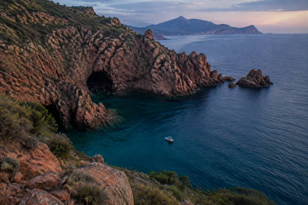
Hiking from the Balagne runs from coastal walks to the island's long-distance trails: the Mare e Monti Nord covers 121 km in about 10 days to Cargèse, the Mare a Mare Nord runs 139 km, and the GR20, the famous mountain route, covers 180 km in about 15 stages of 4 to 8.5 hours each, with refuges guarded from 16 May to 4 October in 2026.
The long trails, all documented by the Parc naturel régional de Corse, are the skeleton of Corsican walking. The shorter options near the coast, including the paths into the Agriates from Saint-Florent, are day walks; the full crossings are commitments of a week or more. The lengths below come from the PNRC's own brochure.
| Trail | Length | Days | Total Climb |
|---|---|---|---|
| GR20 (Fra li Monti) | 180 km | about 15 stages | not published in the sources used |
| Mare e Monti Nord | 121 km | 10 | 6,100 m |
| Mare a Mare Nord | 139 km (161 km with variant) | 8 to 12 | 5,900 m |
| Mare a Mare Centre | 84 km | 6 to 7 | 3,900 m |
| Mare a Mare Sud | 73 km | 5 | 3,200 m |
| Mare e Monti Sud | 66 km | 5 | 2,700 m |
For anyone eyeing the GR20, the 2026 rules are firm: refuge nights and bivouac pitches must be booked online in advance, a bunk costs EUR 20 per person, a bivouac pitch EUR 12, a rented tent for one person EUR 27 and for two EUR 39, all per person for the first two. Rental tents sleep two and come with a 3 cm mat each; bring a sleeping bag. Dogs are not allowed in refuges or rented tents, there are no departures from Calenzana after 11:00, and wild camping is banned across the island, with bivouacking only in the marked areas at refuges, as reported by PNRC and GR20 sources. The old Cirque de la Solitude section has been off the route since a fatal rockfall in 2015 and a variant replaces it.
What Should You Know Before Visiting Corsica's Balagne?
Practical Corsica runs on the euro, the Europe/Paris timezone, and a short list of emergency numbers: 112 for the EU-wide service, 15 medical, 17 police, 18 fire, 114 by SMS or app, and 196 for sea rescue, with mountain rescue at the PGHM Ajaccio on 04 95 24 24 00. Tipping is optional by law, since menus must state that service is included.
A few basics make the region easier. Restaurant menus in France must carry the words "prix service compris" with the service percentage, so an extra tip is a choice, not an obligation. The plugs are standard European type C, E and F. Beach supervision follows a pattern: Ajaccio ran seven lifeguard posts from 1 July to the end of August 2026, and Haute-Corse beaches, the department the Balagne belongs to, are supervised by volunteer firefighters roughly 1 July to 31 August, as reported locally.
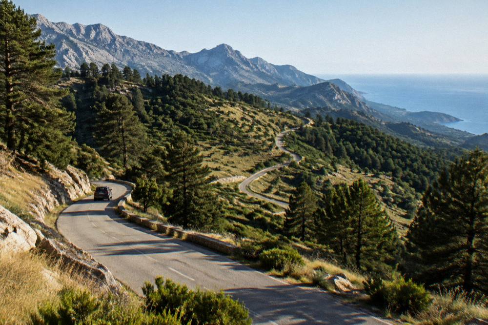
Roads are part of the Corsican experience, and Inforoutes Corse publishes live road conditions and accessibility levels for the main mountain passes, which is the check to make before any drive into the interior. On the water, follow the reserve rules: in the Scandola reserve, visits are by boat only, anchoring is by day outside the integral reserve, and anchors come up at sunset, as the OEC rules state, though Scandola itself is a trip from the west-coast ports rather than from the Balagne.
Which Day Trips Work From L'Île-Rousse?
The strongest day trips from L'Île-Rousse are the boat or shuttle crossings to the Agriates beaches, the wine tastings in the Balagne hills, the coastal train to Calvi, and, with more driving, the Restonica valley and Corte inland or Saint-Florent and the Cap Corse to the east. Road times from Corte, a useful inland hub, run 1 h from Bastia, 1 h 30 from Ajaccio and 1 h 30 from Calvi, per the Corte citadel museum's own practical page.
The Balagne keeps several of these close. Calvi is a train ride away on the coastal line, and the Calvi and the Balagne guide covers the citadel town and the hill villages behind it. Saint-Florent, the shuttle-boat base for the Agriates beaches, sits on the far side of the desert, with the Cap Corse peninsula beyond it; both have their own area pages, Saint-Florent and Patrimonio and Cap Corse.
The sea alternatives from the town are the catamaran days already covered, and for a different flavour of coast, the west-coast excursions to the Calanques de Piana and Scandola leave from Porto, Golfe de Porto being a listed area on this site with its own guide at Golfe de Porto and Piana. The choice is simple: stay in the Balagne's waters for the Agriates, or take a day west for the UNESCO-listed red cliffs.
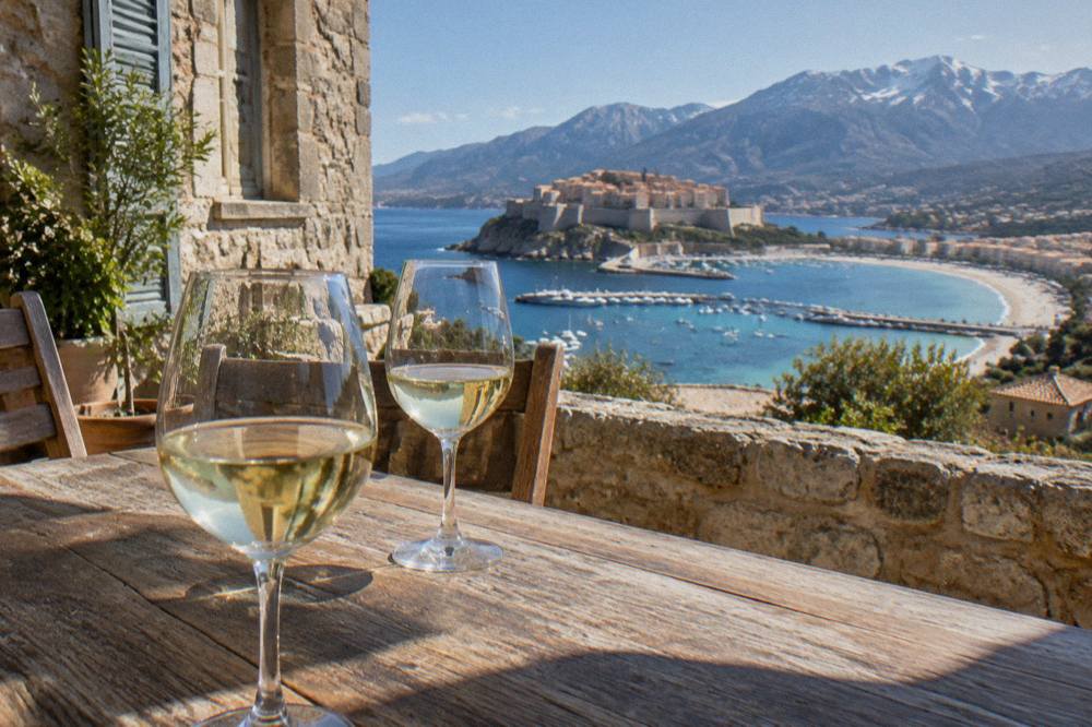
Common Questions About L'Île-Rousse
Where Is L'Île-Rousse In Corsica?
L'Île-Rousse is on Corsica's northwest coast, in the Balagne region of Haute-Corse, between Calvi and the Désert des Agriates. It is one of the island's ferry ports and a stop on the Chemins de fer de la Corse coastal line between Calvi and L'Île-Rousse.
Can You Reach Saleccia And Lotu From L'Île-Rousse?
The Agriates beaches of Saleccia and Lotu are reached by boat shuttle from Saint-Florent, roughly April to October weather permitting, by 4x4 track from Casta, or on foot, as reported by the island tourism board. From L'Île-Rousse itself, catamaran day trips sail the same coast with swim stops.
Do Ferries Sail To L'Île-Rousse?
Yes. Corsica Linea sails Marseille to L'Île-Rousse, and Corsica Ferries links the town to Toulon and Nice, per the operators' route listings.
What Is The Weather Like In The Balagne?
The north of Corsica has a hot, dry summer and a mild, wet winter. The Bastia Météo-France normals for 1991-2020 show July averaging 13.8 mm of rain, August a mean daily high of 29.8 °C, and November 134.3 mm of rain, the largest monthly total on that table.
Is There A Train From L'Île-Rousse?
Yes, the Chemins de fer de la Corse run the Balagne coastal line between Calvi and L'Île-Rousse, alongside the Ajaccio to Bastia line via Corte and the Ponte-Leccia to Calvi line. Timetables are published by the operator.
What Emergency Numbers Apply In Corsica?
Call 112 for the EU-wide emergency service, 15 for medical, 17 for police, 18 for fire, 114 by SMS or app, and 196 for sea rescue. Mountain rescue, the PGHM in Ajaccio, answers on 04 95 24 24 00.
L'Île-Rousse rewards exactly the kind of trip its position suggests: a ferry or a flight into the Balagne, a few days of catamaran runs into the Agriates and wine tastings in the hills, and the coastal train stitching it to Calvi whenever the sea day needs a land alternative.