Regions Of Corsica
Corsica packs alpine ridges, a UNESCO gulf and more than 1,000 km of coastline into 8,722 km2. Here is how the island divides into regions, and what each one does best.
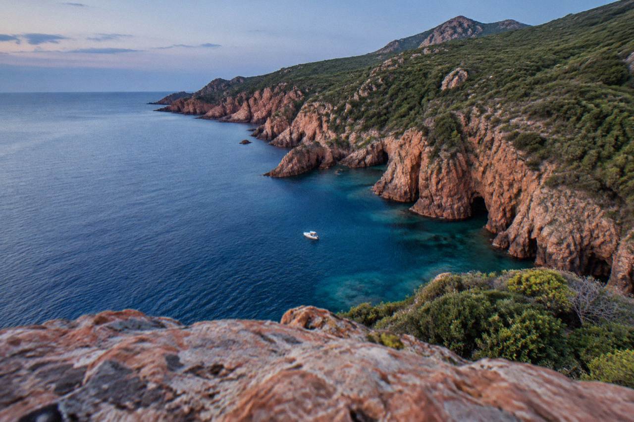
Corsica splits into five broad regions: the Ajaccio west coast, the Balagne and its beach towns, the Haute-Corse north around Bastia and Cap Corse, the Porto-Vecchio and Bonifacio south, and the mountainous interior around Corte. Each has a distinct character, and the road times between them shape every itinerary.
Corsica covers 8,722 km2, the fourth-largest island in the Mediterranean, with more than 1,000 km of coastline wrapped around a mountainous interior that rises to Monte Cinto at 2,706 m. The island is a single territorial authority, the Collectivité de Corse, with the two departments Corse-du-Sud and Haute-Corse, and INSEE's provisional estimate puts its population at 365,636 as of 1 January 2026. That density explains the island's split personality: lively port towns on the coast, and an interior where the Parc naturel régional de Corse, created in 1972, spreads across 4,484 km2. Understanding the regions is the first step to planning any trip here, and this guide walks through each one with the numbers above.
What Are The Regions Of Corsica?
Corsica divides into five broad travel regions: the Ajaccio west coast with its gulf and the Îles Sanguinaires, the Balagne in the northwest around Calvi and L'Île-Rousse, the Haute-Corse north centred on Bastia and Cap Corse, the far south around Porto-Vecchio and Bonifacio, and the inland interior with Corte at its heart. The departments split the island in two, Corse-du-Sud in the south and Haute-Corse in the north, but travel regions follow the roads and the coasts instead.
Each region has a clear identity. Ajaccio, the capital with 76,320 residents, anchors the west. Bastia, the second town at 46,867 residents, anchors the northeast. Corte, the island's old capital, sits inland at the junction of the main north-south road and the Tavignano and Restonica valleys. The Balagne is known for its beach resorts and perched villages. The far south holds the big swimming beaches east of Porto-Vecchio and the limestone cliffs of Bonifacio.
| Region | Main towns | Character | Signature sights |
|---|---|---|---|
| Ajaccio west coast | Ajaccio, Porticcio, Cargèse | Gulf city, Napoleon heritage, boat departures | Îles Sanguinaires, Calanques de Piana, Scandola approaches |
| Balagne | Calvi, L'Île-Rousse, Algajola | Beaches, hilltop villages, railway | Citadelle de Calvi, Balagne coast line |
| Haute-Corse north | Bastia, Saint-Florent, Erbalunga | Working port city, Cap Corse peninsula, vineyards | Vieux-Port de Bastia, Désert des Agriates |
| Far south | Porto-Vecchio, Bonifacio, Figari | Swimming beaches, cliffs, islands | Palombaggia, Santa Giulia, Îles Lavezzi |
| Interior | Corte, Venaco, Niolu | Mountains, trails, old capital | Citadelle de Corte, Gorges de la Restonica, GR20 |
The regions are small on the map but slow on the road, which is why the island rewards base-planning over daily long drives. More on that in the Corsica in 5 days and Corsica in 10 days itineraries.
Which Region Of Corsica Should You Visit First?
First-time visitors do best with either the Ajaccio west coast or the Porto-Vecchio and Bonifacio south, because both combine a real town, swimming beaches and a headline boat trip within one base. The Ajaccio region adds the Scandola Nature Reserve and the Calanques de Piana, while the far south adds the Îles Lavezzi and the limestone cliffs of Bonifacio, two coasts with genuinely different geology and itineraries.
The west's headline draw is a UNESCO World Heritage property, "Gulf of Porto: Calanche of Piana, Gulf of Girolata, Scandola Reserve", inscribed in 1983, covering 11,800 ha on the coast. Its core, the Scandola reserve, was the first nature reserve created in Corsica, by ministerial order of 9 December 1975. The reserve spans 919 ha of land and 1,000 ha of sea, with a 70 ha integral zone. Its land area is closed to the public: visits are by boat only, and no landing is permitted in the integral reserve. Scandola played a key part in saving the osprey in Corsica, and the reserve is managed by the PNRC. The Scandola Nature Reserve and Calanques de Piana guides cover both in depth.
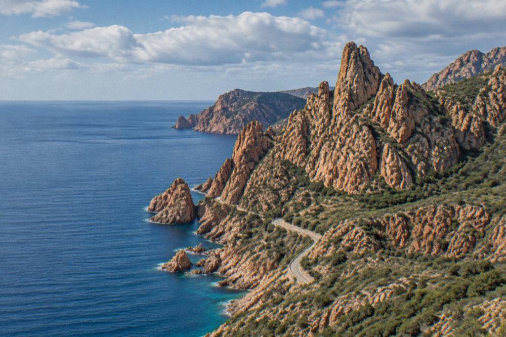
Boat trips are the practical way to see this coast, and the west region carries the deepest inventory. A Scandola boat tour from Porto or Ajaccio covers the reserve and the Calanche of Piana in one loop, and a Calanques de Piana tour from Porto covers the calanche alone on a shorter run. From Bonifacio, a Bonifacio boat tour runs the cliffs and the Lavezzi islands inside the Bouches de Bonifacio Nature Reserve.
Where Is The Best Base For Boat Trips In Corsica?
The Golfe de Porto and Piana coast, between Cargèse and Porto, is the best base for boat trips, because the departures for Scandola, Girolata and the Calanques de Piana all leave from its ports, including Porto, Ota, Sagone and Cargèse itself. Ajaccio is the second strong base, running gulf cruises to the Îles Sanguinaires as well as full-day Scandola and Bonifacio sailings. Calvi and L'Île-Rousse cover the north, and Bonifacio covers the far south.
The west coast is where the geography concentrates. The park's western sea front runs 80 km from Capu Rossu to Capu Cavallu, and the UNESCO property sits in the middle of it. Girolata, reachable by sea or on foot, is the only settlement inside the gulf, and many cruises stop there. State and conservation authorities confirmed a joint roadmap on 28 April 2026 for the UNESCO area, including voluntary labelling of boat operators, a QR-code tracking trial for pleasure boats and more controls at sea, so how visits are run continues to evolve.
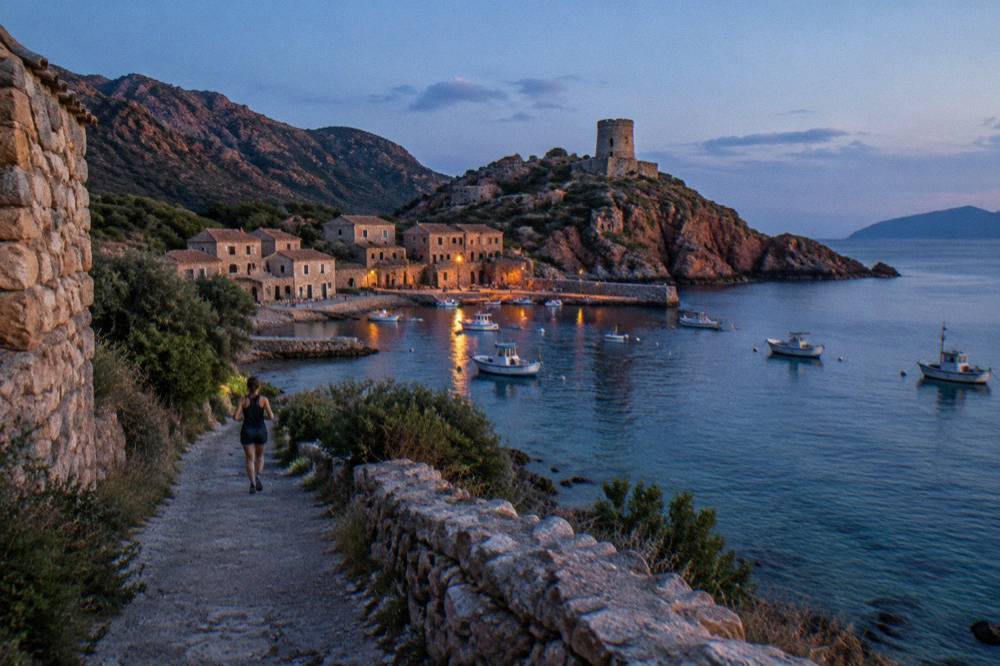
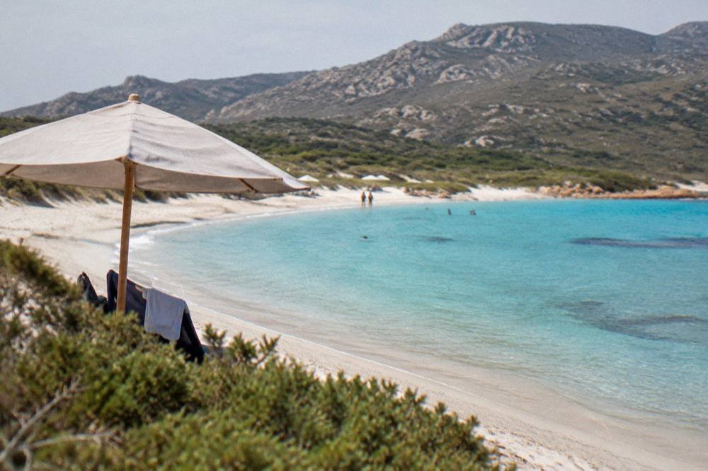
In the north, the Désert des Agriates stretches between Saint-Florent and the Balagne, and its beaches are the region's headline draw. The beaches of Saleccia and Lotu are reached by boat shuttle from Saint-Florent, roughly April to October weather permitting, by 4x4 track from Casta, or on foot. The Saleccia beach guide covers the options in detail, and a Désert des Agriates day trip ties the region together.
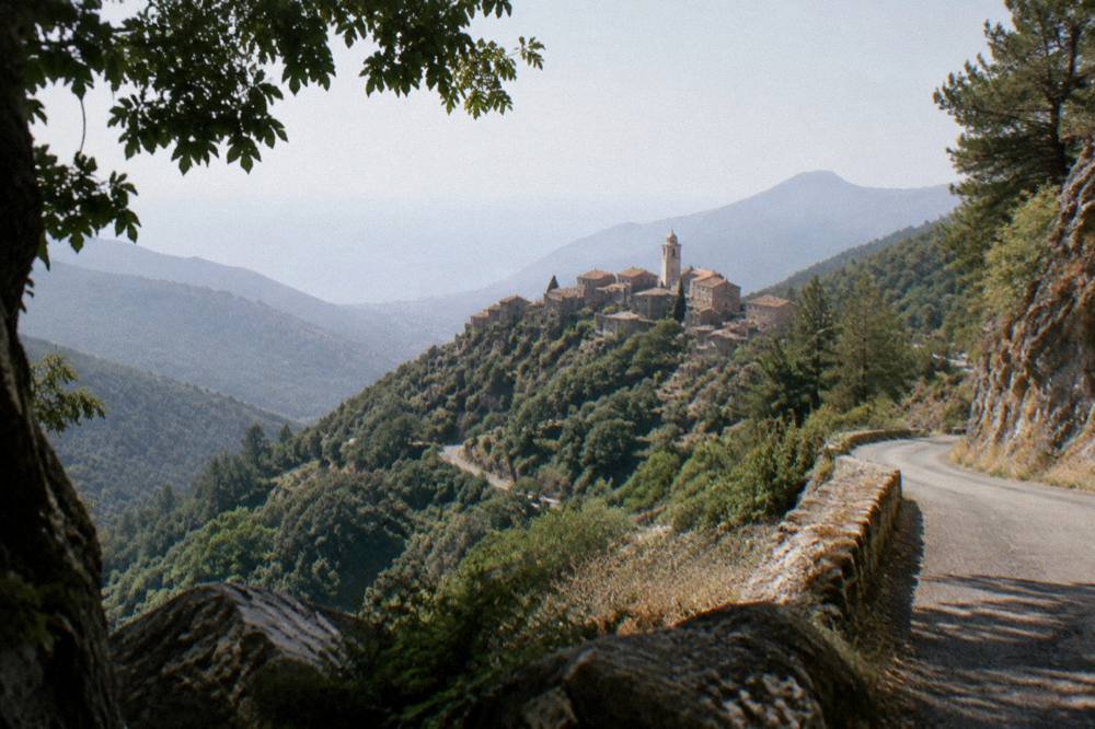
For the interior's villages, a guided day trip replaces mountain-road driving. The Check availability link beside the tour of authentic old hilltop villages shows current dates and pricing for that option.
What Does The Interior Of Corsica Offer?
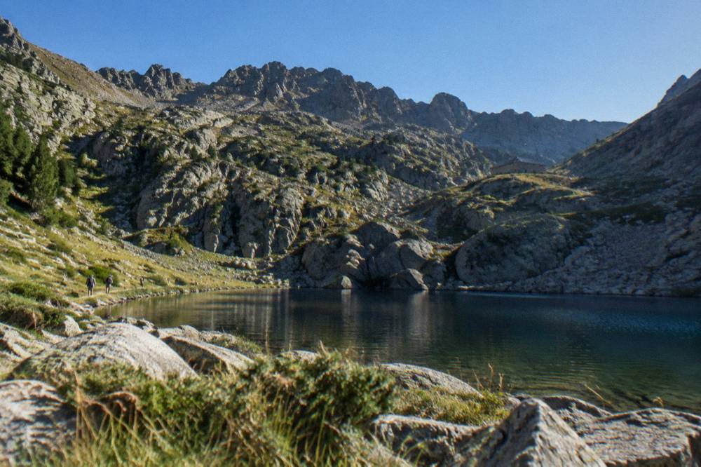
The interior offers the island's mountains, its old capital Corte, and the trail network that makes Corsica a walking destination: the GR20 crosses 180 km north to south in about 15 stages of 4 to 8.5 hours, and the Mare a Mare and Mare e Monti routes link the coasts through the middle of the island. The Parc naturel régional de Corse covers 4,484 km2 of this interior, created in 1972, including the Castagniccia and the big valleys that run down to the sea.
Corte is the natural hub. It is the island's old capital and it sits inland at the meeting point of the valleys, with the Citadelle de Corte and the Musée de la Corse above the town. One ticket covers both museum and citadel at EUR 5.50 full price, EUR 4 reduced without a temporary show and EUR 3 for over-65s and young people. The museum runs daily 10:00 to 19:00 from 1 May to 31 October, and 10:00 to 17:00 in the low season with Sunday and Monday closures.
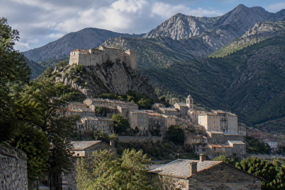
The road times from the museum's own practical page show how central Corte is: one hour from Bastia, one and a half from Ajaccio and Calvi, two from Porto-Vecchio, and two and three-quarters from Bonifacio and Propriano. That makes it the standard mid-island stop on any north-south itinerary.
| Route to Corte | Driving time |
|---|---|
| From Bastia | 1 h |
| From Ajaccio | 1 h 30 |
| From Calvi | 1 h 30 |
| From Porto-Vecchio | 2 h |
| From Bonifacio | 2 h 45 |
| From Propriano | 2 h 45 |
The Restonica valley climbs from Corte into the high massif, and the Aiguilles de Bavella, in the far south's Alta Rocca, form the other great mountain landmark. The Restonica valley and Aiguilles de Bavella guides cover both.
How Do The Long-Distance Trails Cross The Regions?
The trails split neatly by region: the GR20 runs 180 km the full length of the mountainous interior in about 15 stages of 4 to 8.5 hours, the three Mare a Mare routes each cross from one coast to the other, and the two Mare e Monti routes run along the coast between the regions, with Mare e Monti Nord covering 121 km in about 10 days to Cargèse. Every PNRC refuge night on the GR20 must be booked online in advance.
For the 2026 season the PNRC refuges are guarded from 16 May to 4 October inclusive, and reservations are mandatory for every option, bunk or bivouac, online only. The rest of the planning pages sit on Corsica Travel Guide.
| Trail | Length | Days | Ascent | Region crossed |
|---|---|---|---|---|
| GR20 (Fra li Monti) | 180 km | about 15 stages | n/a | Full interior, north to south |
| Mare e Monti Nord | 121 km | 10 | 6,100 m | Calvi region to Cargèse |
| Mare a Mare Nord | 139 km (161 km with variant) | 8 to 12 | 5,900 m | North coast to west coast |
| Mare a Mare Centre | 84 km | 7 (or 6 to Tavera) | 3,900 m | Ghisonaccia to Porticcio |
| Mare a Mare Sud | 73 km | 5 | 3,200 m | Ends in Propriano |
| Mare e Monti Sud | 66 km | 5 | 2,700 m | Ends in Propriano |
Refuge pricing for 2026, per person: a bunk in a refuge is EUR 20, a bivouac pitch for your own tent is EUR 12, a rented tent for one is EUR 27, and a rented tent for two is EUR 39. Rental tents sleep two and come with a 3 cm mat per person; bring your own sleeping bag. Dogs are not allowed inside refuges or rented tents. Two rules shape summer walking: no GR20 departures from Calenzana after 11:00 under a municipal fire-risk order, and from 15 June to 30 September fires and smoking are forbidden in forests, maquis and massifs. Wild camping is banned across the island; bivouac is only allowed in the marked areas near refuges. The old Cirque de la Solitude section has been off the route since a fatal rockfall in 2015, replaced by a variant.
Which Region Holds The Main Sights And Museums?
Ajaccio holds the island's headline museums, the Maison Bonaparte national museum and the Palais Fesch, while Corte holds the Musée de la Corse inside its citadel and the far south holds the prehistoric site of Filitosa and Bonifacio's Escalier du Roi d'Aragon with its 189 steps. Between them these sights cover Napoleon heritage, island ethnography, prehistory and the cliffs, and every price below comes from each site's own published listing.
Maison Bonaparte, on Rue Saint-Charles 200 m from Ajaccio's bus station and ferry terminal, is open every day except Monday. Entry is EUR 10 full price, EUR 8 for non-EU residents aged 18 to 25 and large families, and free for EU residents under 26. The Palais Fesch, whose current listing runs 09:00 to 17:00 daily, charges EUR 10 full price and EUR 6 for over-65s, with free entry up to 18. Filitosa, open 1 April to 2 November, charges EUR 9 for adults, EUR 7 reduced, EUR 28 for a family of two adults and two children, free under 6.
| Sight | Region | Full price | Opening pattern |
|---|---|---|---|
| Maison Bonaparte, Ajaccio | Ajaccio west | EUR 10 | Daily except Monday |
| Palais Fesch, Ajaccio | Ajaccio west | EUR 10 | Daily 09:00 to 17:00 |
| Musée de la Corse, Corte | Interior | EUR 5.50 | Daily 1 May to 31 Oct; low-season closures |
| Filitosa, Sollacaro | Far south | EUR 9 | 1 April to 2 November |
| Escalier du Roi d'Aragon, Bonifacio | Far south | about EUR 5 | Monthly hours, closed shoes required |
The Escalier du Roi d'Aragon cuts 189 steps down Bonifacio's cliff and returns a 180-degree view over the strait to Sardinia; the site requires closed-toe flat shoes, and children receive a "diploma" at the top. The museums each have their own guide on this site: Maison Bonaparte, Palais Fesch and Citadelle de Corte.
How Do The Climates Of The Regions Differ?
The coasts share a Mediterranean pattern of hot dry summers and mild wet winters, while only the high mountains take snow, and the east and north coasts carry more rain than the Ajaccio west: Météo-France normals for 1991-2020 show Ajaccio averaging 635.0 mm of rain a year against 816.9 mm at Bastia. July and August carry the highest mean daily highs, 29.2 °C at Ajaccio and 29.8 °C at Bastia.
The station normals give the month-by-month picture. At Ajaccio, July averages just 8.6 mm of rain; at Bastia, 13.8 mm. November is the highest month at both stations, 111.8 mm and 134.3 mm respectively, and February has the lowest mean daily lows, 4.3 °C in Ajaccio and 5.1 °C in Bastia. The interior is a different climate zone again: only the high mountains take snow, and the fire-season rules from mid-June to mid-September can restrict access to massifs, with a colour map updated at 18:00 for the next day.
| Month | Ajaccio high °C | Ajaccio rain mm | Bastia high °C | Bastia rain mm |
|---|---|---|---|---|
| Jan | 14.0 | 54.1 | 13.8 | 67.3 |
| Mar | 16.0 | 50.4 | 15.8 | 63.7 |
| May | 22.1 | 49.8 | 22.4 | 53.7 |
| Jul | 28.6 | 8.6 | 29.4 | 13.8 |
| Sep | 26.1 | 57.8 | 26.0 | 74.5 |
| Nov | 18.3 | 111.8 | 17.7 | 134.3 |
The Corsica weather by month guide carries the full table and what each month means for the beaches and the trails.
How Do You Travel Between The Regions Of Corsica?
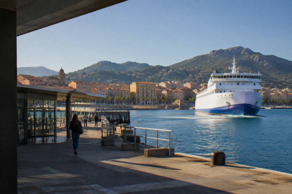
Four airports and its ferry ports spread arrivals across the island: Ajaccio Napoléon Bonaparte (AJA), Bastia Poretta (BIA), Figari Sud Corse (FSC) and Calvi Sainte-Catherine (CLY) in the air, and Ajaccio, Bastia, Bonifacio, L'Île-Rousse, Propriano and Porto-Vecchio by sea, with Corsica Linea, La Méridionale, Moby and Corsica Ferries operating from Marseille, Toulon, Nice, Livorno, Savona, Genoa and Santa Teresa Gallura. More than 8.5 million passengers passed through the ports and airports in 2025.
Matching the arrival port to the first region saves a full day of driving. Bastia and L'Île-Rousse suit the north and the Balagne; Ajaccio suits the west; Figari and Bonifacio suit the far south. The short Sardinia link, Santa Teresa Gallura to Bonifacio, runs about 50 to 60 minutes and was retained by Moby and Ichnusa Lines after Sardinia found no rival operator, per an October 2026 report. The Chemins de fer de la Corse runs the Ajaccio to Bastia line via Corte, the Ponte-Leccia to Calvi branch, and the Balagne coastal line between Calvi and L'Île-Rousse. Inforoutes Corse publishes live road conditions and accessibility levels for the main mountain passes.
The regional deep-dives on this site follow the same five-way split: Ajaccio, Bastia, Bonifacio, Porto-Vecchio, Calvi and the Balagne, Corte and the interior, and Cap Corse in the far north.
What Should You Know Before Choosing A Region?
Three practical rules shape any regional choice: refuge and bivouac nights on the GR20 must be booked online for the 16 May to 4 October guarded season, the fire rules from 15 June to 30 September ban fires and smoking in forests, maquis and massifs, and tipping is optional because menus must state "prix service compris" by law. Emergency numbers are 112 for the EU standard, 15 medical, 17 police, 18 fire, 196 for sea rescue, with the PGHM mountain rescue in Ajaccio on 04 95 24 24 00.
Ajaccio ran seven lifeguard posts on its main beaches from 1 July to the end of August 2026, and Haute-Corse's supervised beaches are staffed by volunteer firefighters over roughly the same window. The UK FCDO notes a high wildfire risk in France from April to October, and the US State Department lists France at Level 2, Exercise Increased Caution. For a fuller treatment, see Corsica safety and Corsica travel tips.
Common Questions About The Regions Of Corsica
What Are The Main Regions Of Corsica?
The main travel regions are the Ajaccio west coast, the Balagne around Calvi and L'Île-Rousse, the Haute-Corse north around Bastia and Cap Corse, the far south around Porto-Vecchio and Bonifacio, and the interior around Corte.
Which Part Of Corsica Has The Best Beaches?
The far south holds the best-known swimming beaches, including Palombaggia and Santa Giulia near Porto-Vecchio, while the Désert des Agriates holds Saleccia and Lotu, reached by boat shuttle from Saint-Florent or by 4x4 track from Casta.
Which Region Should You Stay In For Scandola?
The Golfe de Porto and Piana coast is the closest base for Scandola, with departures from Porto, Ota, Sagone and Cargèse. The reserve's land area is closed to the public and visits are by boat only.
Is The Interior Of Corsica Worth Visiting?
Yes. Corte is the island's old capital, its citadel and Musée de la Corse share a EUR 5.50 ticket, and the Restonica valley and the GR20 trail network make the interior the island's walking heart.
How Many Days Do You Need To See More Than One Region?
Corte is one hour from Bastia and two hours from Porto-Vecchio by road, so a two-region trip works in a few days, while a loop across five regions is realistic from about ten days onward.
Which Airport Should You Fly Into For Each Region?
Bastia Poretta (BIA) and Calvi Sainte-Catherine (CLY) serve the north and the Balagne, Ajaccio Napoléon Bonaparte (AJA) serves the west, and Figari Sud Corse (FSC) serves the far south.
The regions of Corsica are close together on the map and far apart in character, and matching the right base to the right coast, cliffs or ridgeline is what turns a short stay into a complete one.