Corsica Hiking Tour
Corsica packs 180 km of high granite trail, five signposted long-distance paths and a network of guided day tours into one mountainous island, and this guide sets out what each one involves, what it costs and when to walk it.
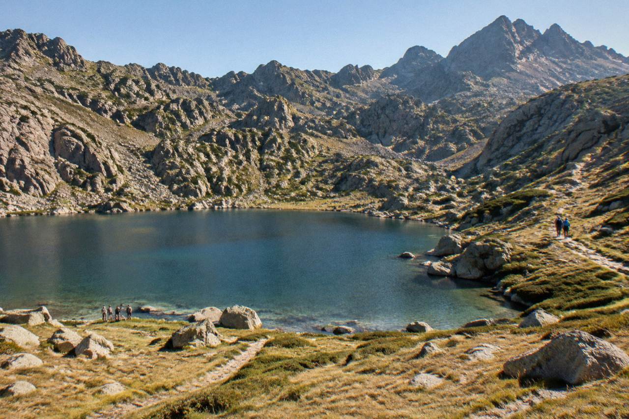
The GR20 runs 180 km across Corsica in about 15 stages, with PNRC refuges guarded from 16 May to 4 October 2026 and bunks at EUR 20 per person per night, booked online; shorter alternatives include the 84 km Mare a Mare Centre and guided day tours such as canyoning in the Richiusa canyon.
Corsica is a French Mediterranean island with sea on every side and a mountainous interior that rises to Monte Cinto at 2,706 m, and that combination is why hiking sits at the centre of the island's appeal. The GR20 crosses the high granite spine north to south, five other signposted trails link coast to coast, and a busy guided-tour scene covers everything from canyon descents to jeep runs into the Désert des Agriates. The long trails, the refuge system, the season rules and the guided options are all drawn from the official park and museum sources the site reports on. The Parc naturel régional de Corse, created in 1972, now covers 4,484 km2 of the island and runs the refuge network that makes the GR20 walkable.
How Hard Is The GR20 In Corsica?
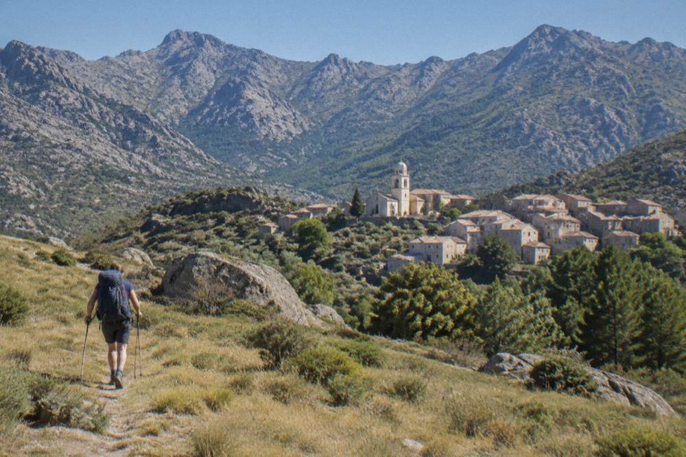
The GR20 is a 180 km north-to-south traverse of Corsica completed in about 15 stages of 4 to 8.5 hours each, according to the Corsican Assembly's own description of the trail, and it is regarded as one of the demanding mountain routes of Europe because the terrain is granite, exposed and continuously steep between refuges. Stage 1 alone, Calenzana to Ortu di u Piobbu, is listed by the PNRC at about 6 h 30 of walking, and Calenzana is the northern start of the whole route. The trail is waymarked as Fra li Monti, and the PNRC guards its refuges along the way. There is no cable car, no road access to most stages and no shortcut that turns it into a gentle walk.
The difficulty comes in two forms. First, the daily height change: the Assembly text gives stage times of up to 8.5 hours, and those hours assume steady mountain-goat pace over boulders and slab. Second, the commitment: between refuges there are few exits, water points are what the park provides, and the July heat on south-facing rock is real. The Météo-France 1991-2020 normals for Ajaccio show July averaging a 28.6 °C daily high and only 8.6 mm of rain, which on the coast means pleasant beach weather and on a granite ridge at midday means something else entirely.
The old Cirque de la Solitude section has been off the GR20 since a fatal rockfall in 2015, and an official variant replaces it; any route description that still sends walkers into the cirque is out of date. For walkers who want the high mountains without the full traverse, the hiking in Corsica guide covers shorter day routes, and the question is Corsica good for hiking is answered plainly there as well.
What Does A Night On The GR20 In Corsica Cost?
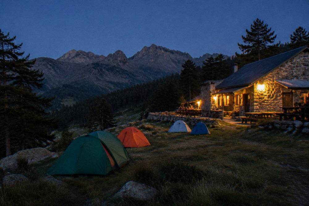
A bunk in a guarded PNRC refuge on the GR20 costs EUR 20 per person for the 2026 season, a bivouac pitch for your own tent costs EUR 12 per person, a rented tent for one person costs EUR 27 and a rented tent for two costs EUR 39, and every one of those options must be reserved online in advance on the PNRC booking platform. The refuges are guarded from 16 May to 4 October 2026 inclusive. Meals at the refuges are paid on site in cash or by cheque to the guardian. Rental tents sleep two and come with a 3 cm mat per person; you bring your own sleeping bag. Dogs are not allowed inside refuges or rented tents.
Booking is not optional. The park requires reservations for bunks and bivouac pitches alike, quotas apply per refuge, and changes are possible up to 48 hours before a stage subject to availability. FFRandonnée announced the opening of the 2026 reservations, and slots for July and August go first. Wild camping is banned across Corsica including on the GR20, with bivouac tolerated only in the marked areas beside the refuges.
| Option on the GR20 (2026 PNRC season) | Price per person | Notes |
|---|---|---|
| Refuge bunk (bat-flanc) | EUR 20 | Guarded refuges, 16 May to 4 Oct 2026 |
| Bivouac pitch, own tent | EUR 12 | Only in marked areas near refuges |
| Rented tent, 1 person | EUR 27 | Pitch plus tent |
| Rented tent, 2 people | EUR 39 | Two bivouacs plus one tent |
| Meals at the refuge | Paid on site | Cash or cheque to the guardian |
Refuges also anchor the safety picture. Mountain rescue in Corsica is run by the PGHM, reachable at 04 95 24 24 00 from Ajaccio, and in an emergency the numbers are 112 or 17, with 15 for medical emergencies, 18 for fire, 114 by SMS or app, and 196 for sea rescue.
When Is The Best Season For A Corsica Hiking Tour?
The 2026 refuge season runs from 16 May to 4 October, and that window is the practical answer: the GR20 is a summer trail whose huts are only guarded inside it, while the Météo-France 1991-2020 normals show July averaging 8.6 mm of rain at Ajaccio and November averaging 111.8 mm, so the dry months sit inside the refuge season and the wet months outside it. Snow lies on the high mountains in winter, and the park does not present the trail as a year-round route. No single month is named as best, because the figures support a season rather than a month.
The climate table below is the Ajaccio station data, 1991-2020, and the coastal readings understate what the summits feel like: Monte Cinto at 2,706 m holds snow long after the coast has warmed. What the table does show is the shape of the year: a hot dry summer, a mild wet winter, and October and November carrying the largest rain totals of the twelve months.
| Month | Mean daily high (°C) | Mean daily low (°C) | Rain (mm) | Sunshine (h/day) |
|---|---|---|---|---|
| May | 22.1 | 11.8 | 49.8 | 9.3 |
| June | 25.9 | 15.4 | 25.9 | 11.1 |
| July | 28.6 | 17.7 | 8.6 | 12.1 |
| August | 29.2 | 18.1 | 15.8 | 11.1 |
| September | 26.1 | 15.4 | 57.8 | 8.7 |
| October | 22.8 | 12.6 | 85.7 | 6.7 |
| November | 18.3 | 9.0 | 111.8 | 4.7 |
Source: Météo-France station data, 1991-2020, Ajaccio (Campo dell'Oro). The Bastia station on the east coast shows the same pattern with more rain in the wet months: November averages 134.3 mm there against Ajaccio's 111.8 mm. May and September are the shoulder months where the refuge season and the milder temperatures overlap, which is why many through-hike plans start at one edge of the guarded window rather than in the middle of the summer heat.
Which Long Trails Cross Corsica Besides The GR20?
Five other signposted long trails cross Corsica, all measured by the PNRC's own brochure: Mare e Monti Nord at 121 km over 10 days to Cargèse, Mare a Mare Nord at 139 km over 8 to 12 days, Mare a Mare Centre at 84 km from Ghisonaccia to Porticcio over 7 days, Mare a Mare Sud at 73 km over 5 days ending in Propriano, and Mare e Monti Sud at 66 km over 5 days, also ending in Propriano. Each one links the island's two seas, and none demands the GR20's granite technique.
These trails suit walkers who want villages, chestnut country and lower passes rather than summit ridges, and they can be walked in either direction with baggage transfer services available in the main valleys. The totals below come from the same PNRC document, so the comparison is like for like.
| Trail | Length | Days | Total climbing | End point |
|---|---|---|---|---|
| GR20 (Fra li Monti) | 180 km | About 15 stages | Not stated by the PNRC | Conca, from Calenzana |
| Mare e Monti Nord | 121 km | 10 | 6,100 m | Cargèse |
| Mare a Mare Nord | 139 km (161 km with variant) | 8 to 12 | 5,900 m | Calvi direction |
| Mare a Mare Centre | 84 km | 7 | 3,900 m | Porticcio |
| Mare a Mare Sud | 73 km | 5 | 3,200 m | Propriano |
| Mare e Monti Sud | 66 km | 5 | 2,700 m | Propriano |
For walkers based in one place rather than crossing the island, the Restonica valley above Corte and the Aiguilles de Bavella in the far south are the two headline day-hike areas, both inside the regional park.
What Are The Fire Rules For Hiking In Corsica In Summer?
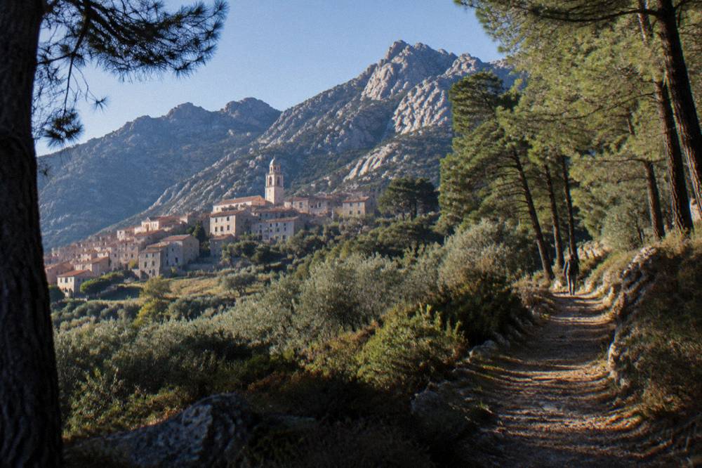
From 15 June to 30 September it is forbidden to light a fire or smoke in Corsica's forests, maquis, garrigue and massifs, and the prefecture's fire-risk map is updated at 18:00 each day for the next day, with some massifs closed entirely to the public on the highest-risk days under prefectural orders. On the GR20 itself, a municipal order bans departures from Calenzana after 11:00 during the high-risk period. The UK FCDO notes a high wildfire risk in France from April to October. These rules shape every summer walking plan on the island.
The daily map matters because closures are not announced season-wide: a massif open on Monday can be shut on Tuesday, and the restriction covers access, circulation and parking on the affected trails and tracks. Checking the map the evening before each stage is the standing advice from the park's own GR20 page. Inforoutes Corse publishes live road conditions and pass accessibility for the drives to and from the trailheads, which matters after storms as much as after fires.
Which Guided Tours Work For Hikers In Corsica?
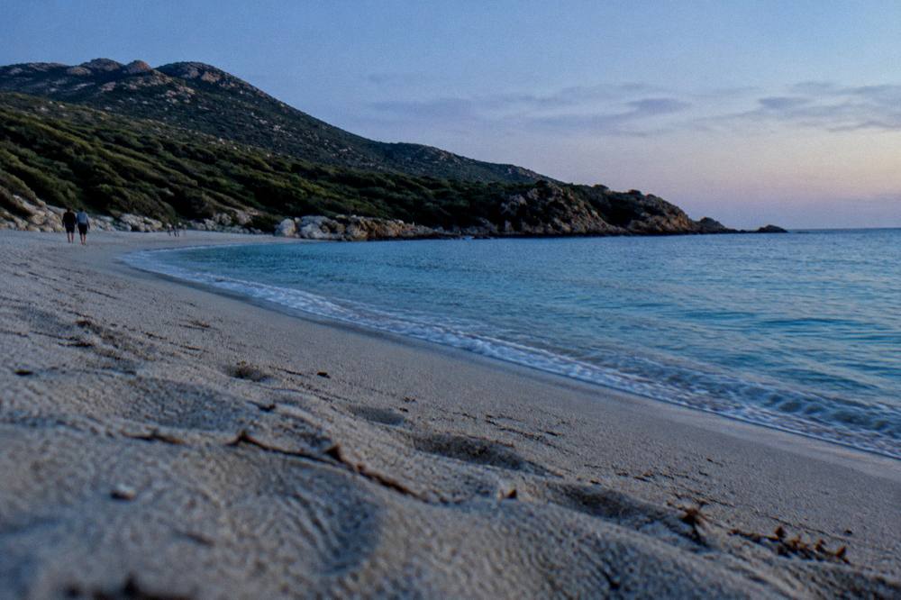
A guided Corsica hiking tour comes in three working shapes: canyon descents such as the Richiusa canyon tour from Bocognano near Ajaccio, jeep and 4x4 days into roadless country such as the Agriate trip to the Lotu and Saleccia beaches from Calvi, and small-group cultural walks such as the old hilltop villages day trip, each replacing the logistics of a solo traverse with a guide, transport and a fixed itinerary.
The Richiusa canyon tour is the closest thing to a mountain day with a safety net: an instructor-led canyon descent in the Gravona valley above Ajaccio, where the guide supplies the technique and the kit. The Agriate jeep day reaches the Saleccia beach area by track, covering ground that otherwise needs a boat shuttle from Saint-Florent or a long walk. The hilltop villages trip stays on foot in the Balagne's interior settlements. Check availability for the canyon day if a water-and-rock itinerary appeals more than a ridge.
Where Can You Hike In Corsica Without A Multiday Commitment?
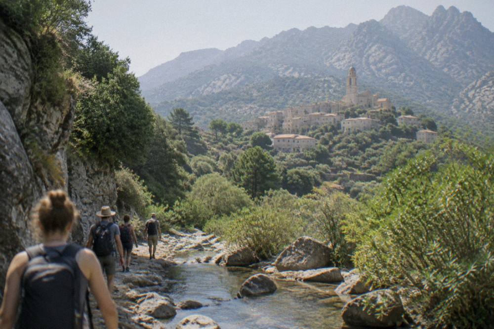
Day hiking in Corsica clusters around a handful of valley and coastal areas: the Restonica valley and the citadel town of Corte in the interior, the Aiguilles de Bavella in the far south, the Calanques de Piana on the west coast, the Spelunca gorge between Évisa and Porto, and the Désert des Agriates in the north, all reachable by road from the main towns in under three hours. The road times to Corte, published by the Musée de la Corse, give the scale: one hour from Bastia, 1 h 30 from Ajaccio and Calvi, two hours from Porto-Vecchio and 2 h 45 from Bonifacio and Propriano. Nothing on the island is far from anything else, but the roads are slow and mountainous.
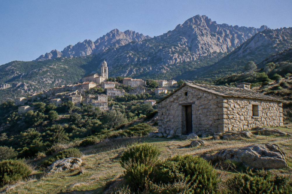
Corte makes the natural base: it is the old capital, it sits at the junction of the island's main valleys, and its citadel museum sells one ticket that covers both the museum and the citadel, at EUR 5.50 full price, EUR 4 reduced and EUR 3 for over-65s and young people. The Restonica valley climbs from the town into high glacial lakes. On the coast, the walk out to the Calanques de Piana is a granite maze above the sea, and the Calanques de Piana attraction page covers it in detail alongside the wider Golfe de Porto.
| Day-hike area | Nearest base | Character | Guided alternative |
|---|---|---|---|
| Restonica valley | Corte | High glacial lakes, steep valley | 4x4 days from Porto-Vecchio |
| Aiguilles de Bavella | Zonza / Porto-Vecchio | Sharp peaks, pine forest | Ospedale and Bavella 4x4 tour |
| Calanques de Piana | Porto / Piana | Red granite above the sea | Boat cruise with walking at Girolata |
| Spelunca gorge | Évisa / Porto | Forested river gorge | Hilltop villages day trip |
| Désert des Agriates | Saint-Florent / Calvi | Wild coast, big beaches | Jeep tour to Lotu and Saleccia |
What Should You Pack For A Corsica Hiking Tour?
Pack for a Corsica hiking tour as for a summer mountain route with a fire-risk overlay: broken-in boots with real grip for granite, a stove-free kitchen plan because open fires and smoking are banned from 15 June to 30 September, a sleeping bag even when renting a PNRC tent since the park supplies only a 3 cm mat, and cash or cheques for refuge meals, because the guardians do not take cards for food. Water capacity matters most in July and August, when the Ajaccio normals show a 28.6 °C mean daily high on the coast and more heat on the rock.
The kit list follows directly from the rules above. A headlamp covers pre-11:00 starts from Calenzana, where the municipal order ends departures at that hour on high-risk days. A printed or offline copy of the daily fire-risk map plan covers the days a massif closes. Trekking poles earn their weight on the longest stages. For the guided canyon days, the operators supply the technical equipment, so the personal kit shrinks to shoes that grip wet rock, a swimsuit and a towel.
How Do You Combine A Corsica Hiking Tour With The Sea?
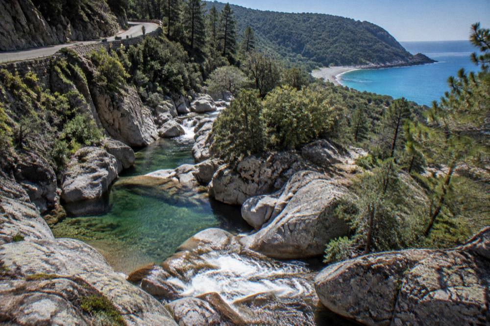
Corsica makes the mountain-and-sea combination unusually easy because the island is only 8,722 km2 with more than 1,000 km of coastline, so a morning on a trail can be followed by an afternoon on a boat, and the main guided-boat circuits from Scandola to Bonifacio sit within reach of every hiking base on the island. More than 8.5 million passengers passed through Corsica's ports and airports in 2025, excluding cruise passengers, and much of that movement is walkers and swimmers mixing the two halves of the island.
The classic pairing is a Restonica or Tavignano valley walk out of Corte with a west-coast cruise from Porto, or a Bavella ridge morning with an afternoon at Palombaggia. The Scandola boat tour page and the Bonifacio boat tour page cover the two most-booked sea circuits, and the general things to do in Corsica round-up places hiking inside the island's full offer. After a week of granite, a sunset cruise from Ajaccio to the Îles Sanguinaires reads as recovery rather than itinerary.
Common Questions About Corsica Hiking Tours
How Many Stages Does The GR20 In Corsica Have?
The Corsican Assembly's text describes about 15 stages of 4 to 8.5 hours each over the trail's 180 km, running north to south from Calenzana. Stage 1, Calenzana to Ortu di u Piobbu, is listed at about 6 h 30.
How Much Does It Cost To Sleep On The GR20?
For the 2026 season the PNRC charges EUR 20 per person for a refuge bunk, EUR 12 for a bivouac pitch with your own tent, EUR 27 for a rented tent for one and EUR 39 for two. All nights must be reserved online.
Do You Need To Book GR20 Refuges In Advance?
Yes. Reservations are mandatory for both bunks and bivouac pitches, exclusively through the PNRC's online platform, with quotas per refuge and changes possible up to 48 hours before a stage.
Can You Wild Camp In Corsica?
No. Wild camping is banned across Corsica including on the GR20, and bivouac is tolerated only in the marked areas beside the PNRC refuges, with a per-person reservation.
When Are The GR20 Refuges Guarded?
The PNRC guards the refuges from 16 May to 4 October 2026 inclusive. Outside that window the full traverse is not supported by the refuge system.
Is There An Easier Long Trail Than The GR20 In Corsica?
Yes. The Mare e Monti Sud covers 66 km in 5 days and the Mare a Mare Centre covers 84 km from Ghisonaccia to Porticcio in 7 days, both per the PNRC brochure, with far less height to climb than the GR20's high route.
Every figure on this page comes from the park, museum and weather-station sources the Corsica Travel Guide reports on, and the refuge rates and dates are the 2026 season as published by the PNRC, so confirm the booking platform and the daily fire-risk map before committing to a start date.