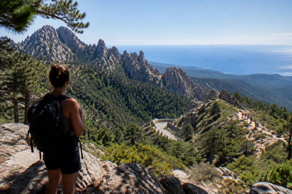
Hiking In Corsica
Corsica packs 180 km of high granite ridge on the GR20, five waymarked coast-to-coast trails and dozens of day walks into an island of 8,722 km2. Here is what the park authority and the station data actually say about planning a walking trip.
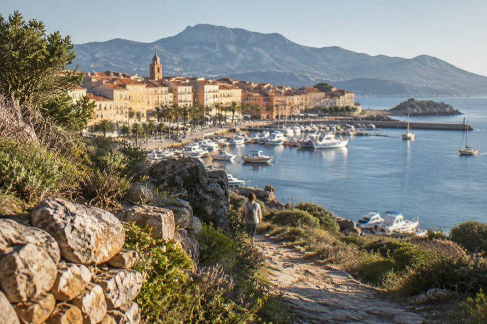
Hiking in Corsica ranges from the GR20, a 180 km mountain traverse in about 15 stages, to gentle coastal and forest day walks. Refuges must be booked online, fires and smoking are banned from 15 June to 30 September, and wild camping is prohibited.
Corsica is a French Mediterranean island of 8,722 km2 with more than 1,000 km of coastline around it and a mountainous interior that reaches 2,706 m at Monte Cinto. That combination, sea on every side and a spine of granite in the middle, is what makes hiking in Corsica unusual in the Mediterranean: one week can hold a swim at a beach and a walk above 2,000 m. The Parc naturel régional de Corse (PNRC), created in 1972 and now 4,484 km2, maintains the island's long-distance network, and its season pages are the reference for everything below.
This guide pulls together what the PNRC publishes about the GR20 and the other long trails, what the Météo-France station normals say about the walking year, and how the island's fire rules shape every summer itinerary. It also maps the day-walk regions to the towns that serve them, and points to guided options when a full traverse is more than a trip can hold. For the wider picture of the island's outdoor life, the Corsica Travel Guide covers the beaches, boat trips and towns that sit at either end of every trail.
Why Is Corsica Such A Hiking Island?
Corsica concentrates a full mountain range into 8,722 km2, rising from sea level to Monte Cinto at 2,706 m, with 360 communes and more than 1,000 km of coastline around it. The Parc naturel régional de Corse, created in 1972, now covers 4,484 km2 of that interior and maintains the trail network, which gives the island a waymarked system few Mediterranean islands match.
The park's western sea front alone runs 80 km from Capu Rossu to Capu Cavallu, so several trails finish within sight of the water they started far away from. The PNRC brochure lists five principal long itineraries besides the GR20: three Mare a Mare routes crossing the island east to west and two Mare e Monti routes running along the western flank. Each is waymarked, measured and published with its climbing total, which is why planners can compare them directly rather than guess.
What this means in practice is choice. A walker with ten days can attempt the Mare e Monti Nord to Cargèse; a walker with five can cross on the Mare a Mare Sud to Propriano; a walker with one free afternoon can be on a marked path above Corte or within the Restonica valley. The Corsica GR20 guide covers the big traverse in detail, and the answer to whether Corsica is good for hiking sums up the case in brief.
What Is The GR20 And How Hard Is It In Corsica?
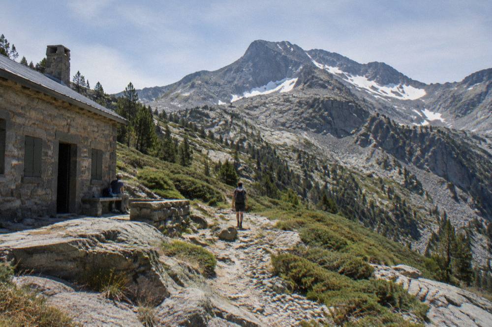
The GR20, also called Fra li Monti, runs 180 km north to south across Corsica in about 15 stages of 4 to 8.5 walking hours each, according to the Corsican Assembly's own description of the route. Stage 1 climbs from Calenzana to Ortu di u Piobbu in about 6 h 30, and no departures from Calenzana are allowed after 11:00 under a municipal order linked to fire risk.
The trail is a mountain route, not a valley walk, and the refuge system exists because a day's stages rarely end near a road.
The figure that matters for planning is the stage count and the hours, not a distance average: the Assembly text gives 4 to 8.5 hours per stage, a spread wide enough that itinerary-building is really about pairing long days with short ones. PNRC refuges sit at the stage ends, and in the 2026 season they are guarded from 16 May to 4 October inclusive. That window is effectively the official walking season for the full traverse.
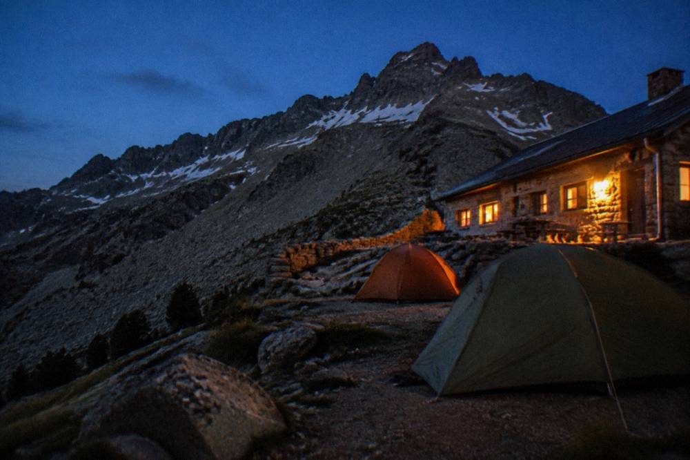
Two historical notes from the sources. The old Cirque de la Solitude section has been off the route since a fatal rockfall in 2015, replaced by a variant. And wild camping is banned across Corsica including the GR20; bivouac is tolerated only in the marked areas beside the refuges, per the PNRC page. Anyone weighing the traverse against their fitness should read how long the GR20 takes and whether the GR20 is hard alongside the refuge rules below.
How Do You Book GR20 Refuges In Corsica?
Every night in a PNRC refuge on the GR20 must be booked online in advance, for a bunk and for a bivouac pitch alike, on the park's secure platform with card payment. The 2026 rates are EUR 20 per person for a bunk, EUR 12 per person for a bivouac pitch with your own tent, EUR 27 for a rented tent for one and EUR 39 for two, and the 2026 refuges are guarded from 16 May to 4 October inclusive.
The reservation is the permit, in effect: quotas apply per refuge, changes are possible up to 48 hours before a stage subject to availability, and a full refund is possible up to two months before. Rental tents all sleep two and come with a 3 cm mat per person; the park's page says to bring your own sleeping bag. Dogs are not allowed inside refuges or rented tents. Meals, where offered, are paid in cash or by cheque to the warden on site, so the refuge belt needs some euros in pocket.
The detail walkers miss most often is the 11:00 rule at Calenzana, covered above: it turns the first morning into a fixed departure, not a flexible one. For the wider practical picture, whether you need to book GR20 refuges works through the same rules from a planner's angle, and the guide to getting around Corsica covers reaching trailheads like Calenzana and Conca by road.
What Other Long Trails Cross Corsica?
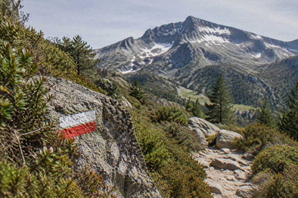
The PNRC brochure lists five other long itineraries: Mare e Monti Nord at 121 km over 10 days, Mare a Mare Nord at 139 km over 8 to 12 days, Mare a Mare Centre at 84 km over 7 days from Ghisonaccia to Porticcio, Mare a Mare Sud at 73 km over 5 days ending in Propriano, and Mare e Monti Sud at 66 km over 5 days, also ending in Propriano.
Each carries its own climbing total, from 2,700 m on the Mare e Monti Sud to 6,100 m on the Mare e Monti Nord.
The brochure also gives a shorter option on the Centre, Ghisonaccia to Tavera in 6 days, which suits a week that cannot stretch to seven walking days.
| Trail | Length | Days | Total climbing | Finish point |
|---|---|---|---|---|
| GR20 (Fra li Monti) | 180 km | about 15 stages | not stated | Conca |
| Mare e Monti Nord | 121 km | 10 | 6,100 m | Cargèse |
| Mare a Mare Nord | 139 km (161 km with variant) | 8 to 12 | 5,900 m | Calvi |
| Mare a Mare Centre | 84 km | 7 (or 6 to Tavera) | 3,900 m | Porticcio |
| Mare a Mare Sud | 73 km | 5 | 3,200 m | Propriano |
| Mare e Monti Sud | 66 km | 5 | 2,700 m | Propriano |
Three of these trails end at the sea, which is the island's signature move: the walk finishes and the water is in front of you. Propriano alone collects two of them. That finish-at-the-coast pattern also makes the trails easy to combine with the island's other half, and the guide to Corsica's beaches picks up exactly where the walking ends.
Where Are The Best Day Hikes In Corsica?
Day hiking in Corsica clusters around five inland zones: the Restonica valley out of Corte, the Aiguilles de Bavella massif in the far south, the Forêt d'Aïtone pine forest above Evisa, the Gorges de Spelunca between Evisa and Porto, and the plateau country of the Alta Rocca, each with trailheads reachable from a named town. The Corte road times published by the Musée de la Corse, one hour from Bastia and 1 h 30 from Ajaccio or Calvi, show how compact the island's walking core is.
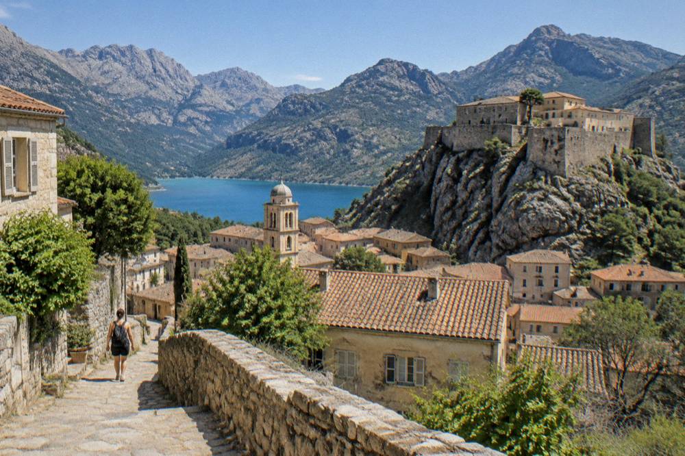
Corte is the natural inland base: the old capital sits inland, and its citadel museum's practical page lists drive times that put four of the five zones within a morning's reach, including Porto-Vecchio at 2 hours and Bonifacio at 2 h 45. From the coast, Porto and Piana serve the Spelunca and the Calanques de Piana country, while Porto-Vecchio serves Bavella and the Alta Rocca from the south.
| Day-walk zone | Nearest base | Details |
|---|---|---|
| Gorges de la Restonica | Corte | Inland valley above the old capital |
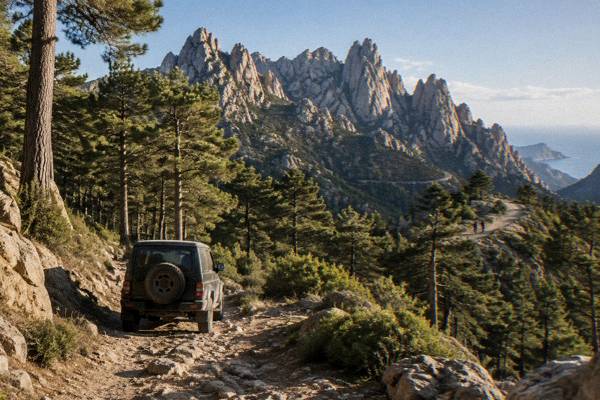
| Aiguilles de Bavella | Porto-Vecchio / Zonza | Southern massif, 4x4 tours operate here |
| Forêt d'Aïtone | Evisa | Pine forest on the western flank |
| Gorges de Spelunca | Porto or Evisa | Gorge walk between the two villages |
| Désert des Agriates | Saint-Florent | Coastal walks; beaches reached by shuttle, 4x4 track or on foot |
The Désert des Agriates deserves its own note because it is the one zone where walking meets a protected coastal desert: Saleccia and Lotu are reached by boat shuttle from Saint-Florent, by 4x4 track from Casta, or on foot. A guided jeep tour from Calvi to Lotu and Saleccia covers the same ground for walkers who want the transport handled. Check availability for the Baracci canyon descent if a water-filled gorge appeals more than a dry one.
For depth on individual valleys, the Restonica valley guide, the Aiguilles de Bavella guide and the Gorges de Spelunca guide each carry the detail for that zone, and the Bavella day trip itinerary sequences a full day around it.
When Is The Best Season For Hiking In Corsica?
The Météo-France 1991-2020 station normals for Ajaccio show July averaging 8.6 mm of rain and August a mean daily high of 29.2 °C, while November averages 111.8 mm and October 85.7 mm, which frames a dry summer walking window and a mild wet winter. The PNRC's own refuge season, guarded from 16 May to 4 October in 2026, is the practical calendar for the high routes, and snow in Corsica sits only on the high mountains.
The numbers, not adjectives, should drive the choice. Ajaccio's station normals give 25.9 mm of rain in June against 57.8 mm in September, and sunshine of 11.1 hours per day in July against 4.7 in November. Bastia's normals tell the same story with more rain: 134.3 mm in November and 13.8 mm in July. Winter walking at low altitude stays realistic, with January mean highs of 14.0 °C at Ajaccio, but the high routes are a summer-and-shoulder affair bounded by the refuge season.
| Month | Ajaccio high °C | Ajaccio low °C | Rain mm | Sunshine h/day |
|---|---|---|---|---|
| Apr | 18.5 | 8.3 | 53.1 | 7.7 |
| May | 22.1 | 11.8 | 49.8 | 9.3 |
| Jun | 25.9 | 15.4 | 25.9 | 11.1 |
| Jul | 28.6 | 17.7 | 8.6 | 12.1 |
| Aug | 29.2 | 18.1 | 15.8 | 11.1 |
| Sep | 26.1 | 15.4 | 57.8 | 8.7 |
| Oct | 22.8 | 12.6 | 85.7 | 6.7 |
| Nov | 18.3 | 9.0 | 111.8 | 4.7 |
For month-by-month planning, the Corsica weather by month guide carries the full station tables for both Ajaccio and Bastia, and the best time to visit Corsica treats the same window from a whole-island angle. The answer on the best time to do the GR20 applies the refuge calendar to the traverse specifically.
What Are The Fire Rules For Hiking In Corsica?
From 15 June to 30 September it is forbidden to light a fire or smoke in Corsica's forests, maquis, garrigue and massifs, and the prefecture-linked fire-risk map is updated at 18:00 each day for the next day, with access to some massifs restricted from mid-June to mid-September on high-risk days. The UK FCDO notes a high risk of wildfires in France from April to October, and massifs marked on the map can close entirely by préfectoral order on red or extreme days.
This is the constraint that most often reshapes a Corsican walking plan. The ban covers smoking as well as fires, so it reaches into every rest stop. Access, circulation and parking can be regulated or banned on trails and tracks in affected zones, and the daily map published via the prefecture-linked systems is the check to run each evening before the next day's stage. The 11:00 Calenzana rule on the GR20 exists for the same reason.
The UK FCDO advice frames the risk period as April to October across France, which is wider than the hard legal ban; the two should not be confused. Emergency numbers are worth saving before any mountain day: 112 for all emergencies, 15 for medical, 17 for police, 18 for fire, 114 by SMS or app, 196 for sea rescue, and the PGHM mountain rescue in Ajaccio on 04 95 24 24 00. The Corsica safety guide collects these with the rest of the island's safety picture.
Can You Hike In Corsica Without A Car?
Hiking in Corsica without a car is workable on the axes the Chemins de fer de la Corse serves, as reported: the Ajaccio to Bastia line via Corte, the Ponte-Leccia to Calvi line, and the Balagne coastal line between Calvi and L'Île-Rousse, which together put Corte, Calvi and the Balagne coast within rail reach. Beyond the railheads, most trailheads including Calenzana, Conca and the Bavella and Restonica valleys depend on road transport.
The train's value to walkers is exactly the inland spine: Corte, the walking capital, sits on the Ajaccio to Bastia line, and from there the Restonica and the Tavignano country open up. The Balagne line links Calvi and L'Île-Rousse along the coast and serves the Calanques de Piana touring loop from the Calvi end by road. For the GR20, the practical pattern is road transport to Calenzana or Conca at either end.
For the road-dependent parts, the Corsica car rental guide and the driving in Corsica guide cover what the mountain roads demand, and Inforoutes Corse publishes live road conditions and pass accessibility levels, which matters for high trailheads in shoulder months. Arrival planning runs through the ferry to Corsica guide and the Corsica airports guide, with Ajaccio and Bastia as the two rail-connected arrival points.
What Should You Pack For Hiking In Corsica?
For a hut-to-hut traverse the PNRC's own requirements shape the packing list: a sleeping bag is required because rental tents supply only a 3 cm mat, meals at refuges are paid in cash or by cheque on site, dogs are not allowed in refuges or rented tents, and the 11:00 Calenzana rule means the first stage starts early regardless of weather.
For day walks the packing question is dominated by water and the fire rules, since smoking is banned in the massifs from 15 June to 30 September.
The refuge system removes tent and stove from the list but adds the cash requirement, and the bivouac-only rule means anyone preferring their own tent still books a pitch and carries the tent itself. Day walkers in the summer window should treat the daily 18:00 fire-risk map as part of the kit: it decides whether tomorrow's massif is open, restricted or closed, and it is the one check no forecast replaces.
| Item | Why |
|---|---|
| Sleeping bag | Rental tents include only a 3 cm mat per person |
| Cash or cheques | Refuge meals are paid on site, not online |
| Early-start plan | No GR20 departures from Calenzana after 11:00 |
| Daily map check | Fire-risk map updated at 18:00 for the next day |
| Emergency numbers | 112, PGHM Ajaccio 04 95 24 24 00 |
Footwear and clothing choices belong to the walker; the sources here govern bookings, bans and rescue, not gear brands.
Which Guided Options Suit Walkers In Corsica?
Guided options around Corsica's walking country include a canyoning descent of the Baracci canyon in the Valinco area, a 4x4 day tour of the Asco valley from Calvi, and a boat trip to La Maddalena and the Lavezzi islands from Bonifacio, all three of which pair a hiking base with a day the trails themselves cannot provide. Each is a small-group or guided format, and each covers terrain the waymarked network reaches only partly or not at all.
Canyoning is the natural companion discipline to Corsican walking: the same granite that carries the ridges funnels water into gorges, and the Richiusa canyon near Bocognano and the Baracci canyon are both run as guided descents. The 4x4 tours answer the trailhead problem in the high valleys, Asco in the north and the Ospedale forest and Bavella needles in the south, where public transport does not reach. The Lavezzi boat day extends a Bonifacio-based walking week into the Bouches de Bonifacio Nature Reserve, where the islands sit inside a protected marine zone.
For a full week built around these choices, the Corsica in one week itinerary and the Corsica road trip guide sequence the island so walking days and rest days alternate, and the GR20 and hiking tours page collects the guided mountain products in one place.
Common Questions About Hiking In Corsica
How Long Does The GR20 Take?
About 15 stages of 4 to 8.5 walking hours each cover the 180 km from Calenzana in the north to Conca in the south, per the Corsican Assembly's description. Stage 1, Calenzana to Ortu di u Piobbu, is given as about 6 h 30. Plan the traverse inside the refuge season, guarded 16 May to 4 October in 2026.
Do You Need To Book GR20 Refuges In Advance?
Yes. The PNRC requires online booking for every night, for bunks and bivouac pitches alike, with card payment on its secure platform. Quotas apply per refuge, changes are possible up to 48 hours before a stage, and a full refund is available up to two months before.
Can You Camp Wild In Corsica?
No. Wild camping is banned across Corsica, including on the GR20, under municipal orders. Bivouac is tolerated only in the marked areas beside PNRC refuges, and even there a per-person pitch must be reserved.
What Do GR20 Refuges Cost?
PNRC 2026 rates are EUR 20 per person for a bunk, EUR 12 per person for a bivouac pitch, EUR 27 for a rented tent for one and EUR 39 for two. Rental tents sleep two with a 3 cm mat each; bring your own sleeping bag. Refuge meals are paid in cash or by cheque on site.
When Is The Hiking Season In Corsica?
The guarded refuge season runs 16 May to 4 October in 2026. The Météo-France normals for Ajaccio show July with 8.6 mm of rain and November with 111.8 mm, and snow lies only on the high mountains in winter, so low-level walking is a year-round option while the high routes follow the refuge calendar.
Are Dogs Allowed On The Refuges?
No. The PNRC states that dogs are not allowed inside refuges or rented tents on the GR20. Day walkers should also note that from 15 June to 30 September smoking is banned in forests, maquis and massifs, which applies to rest stops on any trail.
The island's walking year is bounded by two published calendars, the refuge season and the fire-risk map, and everything else, trail choice, base town and booking rhythm, follows from those two. A traverse planned inside the window, a Mare a Mare crossing fitted to a shorter week, or a Restonica day walk out of Corte all draw on the same published calendars above.