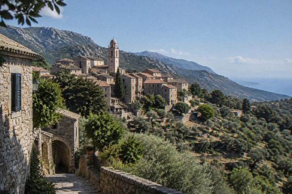
Corsica Hidden Gems
Corsica keeps 8,722 km2 of mountain and more than 1,000 km of coastline in a single island, and a good share of it sits far from the famous names. This guide collects the quieter corners the island is known for among those who go looking.
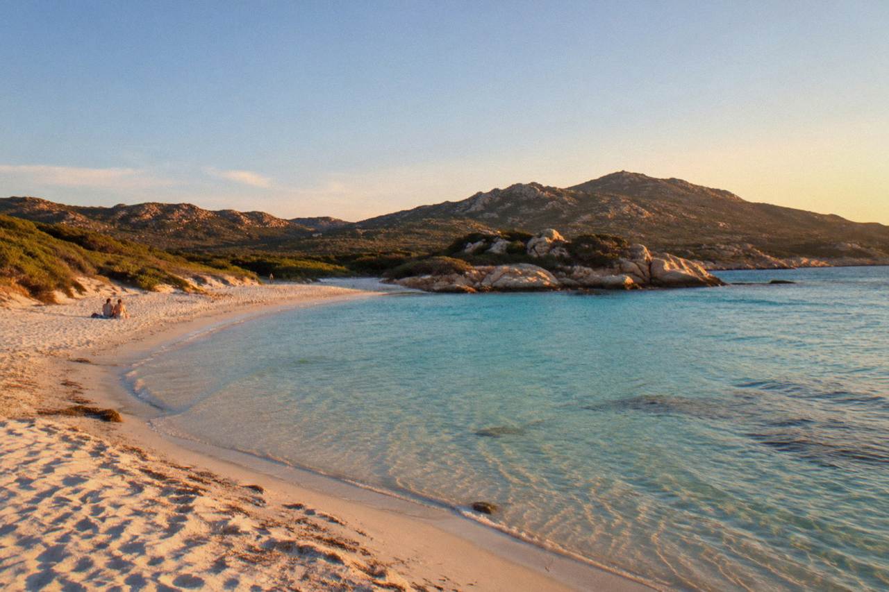
Corsica's hidden gems cluster in four places: the Désert des Agriates beaches of Saleccia and Lotu, the red granite of the Calanques de Piana and Girolata, the inland interior around Corte and the Castagniccia, and the Cap Corse villages of Nonza, Erbalunga and Centuri. Each is reachable with planning, and several need a boat or a 4x4 track to get there.
Corsica is a French Mediterranean island with more than 1,000 km of coastline and a mountainous interior that rises to Monte Cinto at 2,706 m, and the island's famous names, Scandola, Bonifacio, Palombaggia, sit beside dozens of places that rarely make a first-time itinerary. The Collectivité de Corse counts 360 communes, many of them hill villages of a few hundred people, and the Parc naturel régional de Corse covers 4,484 km2 of them, running from the high massifs down to 80 km of western sea front between Capu Rossu and Capu Cavallu. That scale is the reason hidden corners exist at all: an island of 8,722 km2 with a population of 365,636 (INSEE, 1 January 2026, provisional) leaves a great deal of empty ground between the hot spots.
This page gathers the quieter places in groups, beaches, villages, inland valleys and boat trips, and gives the practical facts for each. The guiding idea is simple. The gems that stay quiet usually stay quiet because they take effort: a shuttle boat, a mountain road, a walking trail or a season that runs only from spring to autumn.
Which Secret Beaches In Corsica Are Worth The Trip?
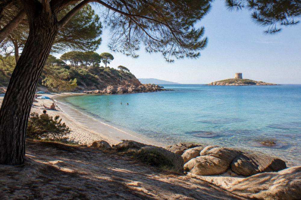
The quiet beach gems of Corsica are the Désert des Agriates pair of Saleccia and Lotu, the curving bay of Rondinara, Plage de Ostriconi at the edge of the Agriates, and the coves of the Golfe de Porto. Saleccia and Lotu are reached by boat shuttle from Saint-Florent roughly April to October, weather permitting, by 4x4 track from Casta, or on foot, which is exactly why they stay uncrowded.
The Désert des Agriates is a protected stretch of coast between Saint-Florent and the Désert's western edge, and the tourist board's own page confirms the three access routes. The boat shuttles are private operators running from Saint-Florent port in the warmer months, and the 4x4 track from Casta is an authorized track, not a public road. A jeep tour from Calvi covers both beaches in one guided day: Check availability for the Agriate guided jeep tour if driving the track independently does not appeal.
South of Bastia, Plage de Ostriconi sits where the Ostriconi river meets the sea at the western end of the Agriates, and the site has its own guide page on Ostriconi beach sibling coverage across the site's beach pages, including Rondinara neighbours and the detailed Palombaggia guide for comparison with the busier south-coast strands. Rondinara, a bay between Bonifacio and Porto-Vecchio, appears on this site's own beach guides because it holds its shape as a near-complete circle of sand.
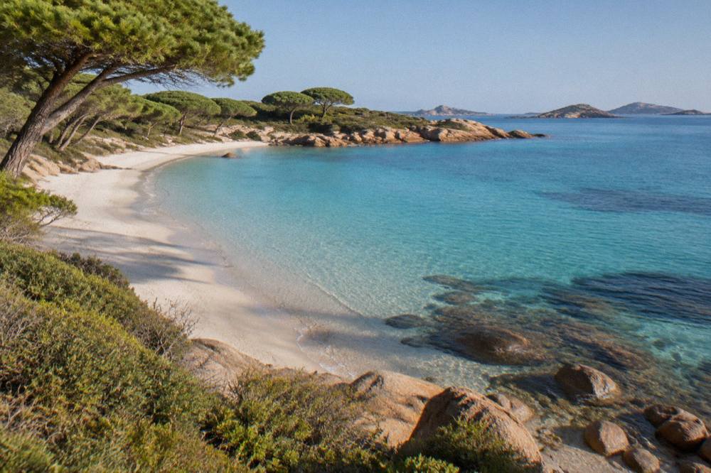
| Beach | Area | How it is reached | Why it stays quiet |
|---|---|---|---|
| Saleccia | Désert des Agriates | Boat shuttle from Saint-Florent (about April to October), 4x4 track from Casta, or on foot | No paved road reaches the sand |
| Lotu | Désert des Agriates | Same shuttle boats and the same authorized track as Saleccia | Same access barrier, shared shuttle |
| Plage de Ostriconi | West edge of the Agriates | Minor road from the D81 corridor | Feels remote at the end of the track |
| Calanques de Piana coves | Golfe de Porto | Boat trips from Porto, or the D81 road above | Granite shoreline, few entry points |
The fire season shapes beach-and-maquis trips more than visitors expect. From 15 June to 30 September it is forbidden to light a fire or smoke in forests, maquis and massifs across the island, and the daily massif-access map is updated at 18:00 for the next day, with some massifs closed entirely on the highest-risk days. The UK FCDO notes a high wildfire risk in France from April to October. None of this closes a beach, but it closes the tracks and footpaths through the scrub behind them, so check the map before planning a walk to a hidden cove.
What Hidden Villages Should You See In Corsica?
The village gems of Corsica are Nonza on the Cap Corse west coast, Erbalunga and Centuri on the Cap's east and north, Cargèse with its two churches above the Golfe de Sagone, and the hill villages of the Castagniccia and the Alta Rocca. Cargèse also works as a boat base, with trips to Girolata and Scandola leaving from its small port.
Nonza is the Cap Corse village the island's photographers single out, a hamlet perched above a dark pebble shore on the west side of the peninsula. Erbalunga, on the east side, and Centuri, at the northern tip with its lobster-port harbour, complete a Cap Corse loop that fits a single driving day; the site's Cap Corse itinerary coverage shows how the peninsula chains onto a wider road trip. The Cap's roads are narrow mountain roads by mainland standards, and Inforoutes Corse publishes live road conditions and pass accessibility levels, which matters in the wetter months of October and November, when Ajaccio averages 85.7 mm and 111.8 mm of rain respectively (Météo-France station data, 1991-2020).
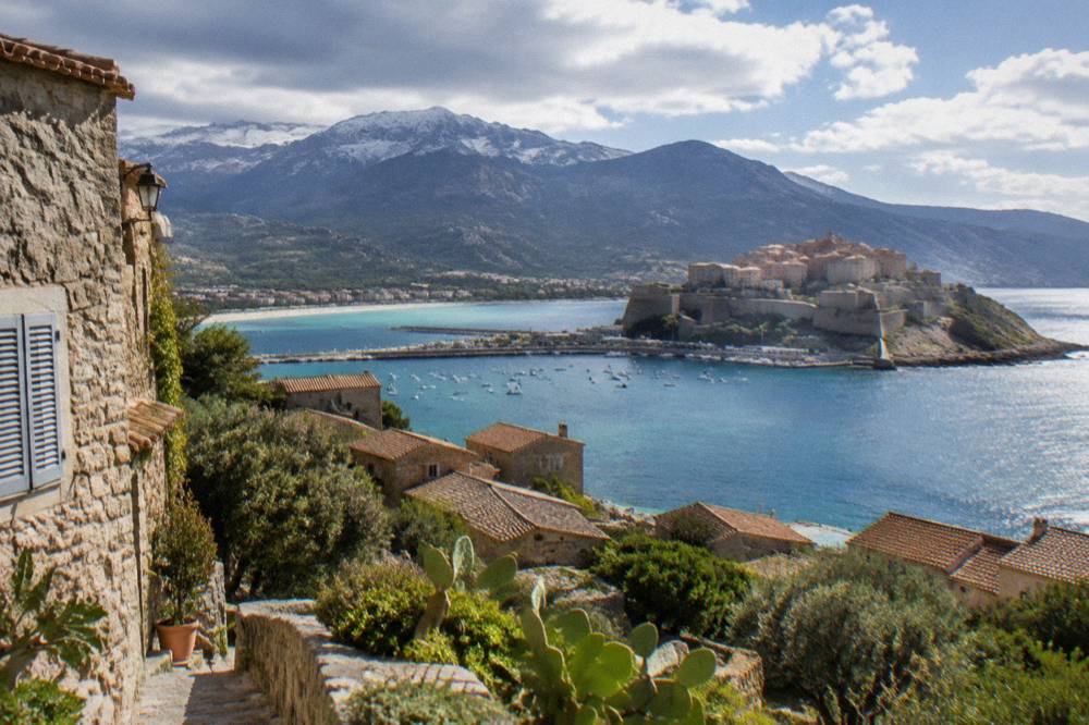
The Castagniccia, in the island's north-east, is chestnut country: the AOP "Farine de châtaigne corse, Farina castagnina corsa" was recognised in 2010, with a defence body created in 2001, and the chestnut economy is the reason the region's villages exist at all. The Alta Rocca in the far south is the other quiet interior, the backcountry behind Porto-Vecchio that 4x4 tours reach through the Ospedale forest and the Cuscionu plateau. South-coast boat gems sit nearby: the Îles Lavezzi, inside the Bouches de Bonifacio Nature Reserve managed by the OEC, sit closer to Bonifacio than almost any beach, and the site's Îles Lavezzi page covers the landing and swimming rules.
A guided village day from the Balagne covers the old hilltop villages in a small group, and the same coast pairs well with a tour of the Corsican train if the itinerary runs long enough. The Chemins de fer de la Corse runs the Ajaccio to Bastia line via Corte, the Ponte-Leccia to Calvi branch and the Balagne coastal line between Calvi and L'Île-Rousse, which is the relaxed way to reach the northern villages without driving.
Which Inland Sights In Corsica Do Guides Skip?
The inland gems are the Restonica valley above Corte, the Gorges de Spelunca between Porto and Évisa, the Forêt d'Aïtone's pine woods, and the prehistoric sites of Filitosa and the Cucuruzzu and Capula pair near Levie. Corte itself, the island's old capital, sits inland, and the Musée de la Corse inside its citadel charges EUR 5.50 full price, with one ticket covering both museum and citadel.
Corte is the natural base for the interior. Road times to Corte are one hour from Bastia, one and a half from Ajaccio or Calvi, two from Porto-Vecchio and two and three quarters from Bonifacio or Propriano, which puts the Restonica valley, the island's classic mountain day walk, within reach of every coastal town. The Restonica runs up from Corte into the high granite, and the Aiguilles de Bavella, at the southern end of the same mountain spine, form the other great rock skyline; neither needs a guide, but both are subject to the summer fire-access map.
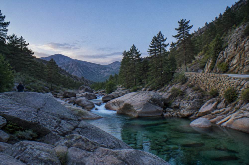
The prehistoric south is the gem category with fixed facts attached. Filitosa, the standing-stone site at Sollacaro, is open 1 April to 2 November, 09:00 to sunset, with a museum open 09:00 to 19:00, and the site's own page advises allowing about an hour and a half. Entry is EUR 9 for adults, EUR 7 reduced, EUR 28 for a family of two adults and two children aged 6 to 17, free under 6. The site's Filitosa guide appears alongside other first-timer essentials elsewhere on this site.
| Inland sight | Opening and price facts |
|---|---|
| Filitosa, Sollacaro | 1 April to 2 November, 09:00 to sunset; EUR 9 adult, EUR 7 reduced, EUR 28 family, free under 6 |
| Musée de la Corse and Citadelle de Corte | 1 May to 31 Oct daily 10:00-19:00 (closed 1 May); 1 Nov to 30 Apr 10:00-17:00 except Sun, Mon, holidays and 24 Dec; EUR 5.50 full, one ticket for museum and citadel |
| Restonica valley | Access subject to the daily summer fire-risk map (updated 18:00 for the next day) |
| Gorges de Spelunca | Walking route between Porto and Évisa; check Inforoutes Corse for the approach roads |
| Cucuruzzu and Capula, Levie | Bronze-age site pair in the Alta Rocca, reached by road from Levie |
Corte's museum closes annually from 31 December to 14 January, and citadel access ends one hour before the museum closes, so the interior rewards morning arrival. The two museums of the north pair differently: at Ajaccio, the Palais Fesch is listed at EUR 10 full, EUR 6 for over-65s, free up to 18, daily 09:00 to 17:00, and Maison Bonaparte, closed Mondays, charges EUR 10 full, EUR 8 for non-EU residents aged 18 to 25 and large families, and is free for EU residents under 26.
Ajaccio itself hides a curiosity most itineraries skip: the Napoleon cave above the town, visited on a short guided experience that ends with a Corsican meal, a local pairing of history and charcuterie. The Corsican food appellations tell the same story on the plate: brocciu obtained its appellation d'origine in 1983, prisuttu, lonzu and coppa took AOC in 2012 and AOP in 2014, and Corsican honey and olive oil carry their own AOP marks.
Where Are Corsica's Lesser-Known Boat Trips?
The quiet boat gems are the Cargèse and Sagone departures to Scandola and Girolata, the short cruises into the Calanques de Piana from Porto, and the catamaran trips along the Agriates coast from L'Île-Rousse. Most Scandola traffic leaves from Porto, so the Cargèse and Sagone departures reach the same UNESCO coastline with a different crowd on the quay.
The UNESCO property is "Gulf of Porto: Calanche of Piana, Gulf of Girolata, Scandola Reserve", inscribed in 1983, and the Scandola reserve itself was created by ministerial order on 9 December 1975 as the first nature reserve in Corsica: 919 ha of land, 1,000 ha of sea and a 70 ha integral reserve, managed by the PNRC. The land part is closed to the public, visits are by boat only, no landing is allowed in the integral reserve, and anchoring is daytime-only outside the integral reserve and the Gargalu channel, with anchors up at sunset. The reserve was key to saving the osprey in Corsica, and renewed osprey quiet zones are among the current protection measures. The rest of the planning pages sit on Corsica Travel Guide.
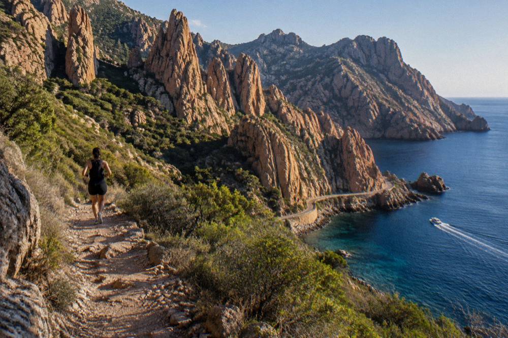
Girolata, the hamlet inside the gulf, is reachable by sea or on foot, and several Cargèse and Sagone trips include a stop there, which the Porto departures generally do not. A short Piana calanques and caves cruise runs barely ninety minutes from Porto, small enough to fit between a morning drive and lunch, while the eco-friendly Scandola boat from Ota is the low-impact option on the same coast. The site's Scandola boat tour guide compares the departure ports in detail.
North along the coast, the Agriates catamaran trips from L'Île-Rousse run the same wild shoreline the jeep tours cross inland, with aperitif-sunset versions and full-day versions, and Cap Corse has its own half-day sea trip from Saint-Florent. The west coast's other quiet departure is Calvi, from which a boat tour runs down to Scandola itself, a long stretch of open water that keeps numbers down.
How Do You Build A Hidden-Gems Itinerary For Corsica?
A hidden-gems itinerary for Corsica works as a loop of five to ten days: Cap Corse and the Agriates first from Bastia or Saint-Florent, Corte and the interior next, then the west coast from Cargèse or Porto for Scandola and Piana, and finally the deep south of the Alta Rocca, Filitosa and the Bonifacio straits. Ten days covers it without rushing; five days covers either the north or the south half.
The site's ready-made frames slot straight in. Corsica in 10 days and Corsica in 14 days are the natural containers for a full loop, while Corsica in 5 days forces the north-or-south choice. The Corsica north itinerary chains Cap Corse, the Balagne and the Désert des Agriates; the Corsica south itinerary chains Porto-Vecchio, Bonifacio, Filitosa and the Alta Rocca.
| Itinerary length | Hidden-gems frame |
|---|---|
| 3 days | One region only: Cap Corse, or the Golfe de Porto, or the Bonifacio straits |
| 5 days | North half (Cap Corse, Agriates, Balagne, Corte) or south half (Bonifacio, Filitosa, Alta Rocca) |
| 7 days | A one-week loop with the interior at its hinge in Corte |
| 10 days | The full loop: Cap Corse, Agriates, Corte, west coast, deep south |
| 14 days | The full loop at walking pace, with a GR20 stage or a Mare a Mare section added |
The long-distance trails are the deepest hidden-gem itinerary of all, because they cross country no road reaches. The GR20 runs 180 km north to south in about fifteen stages of 4 to 8.5 hours, with PNRC refuges guarded from 16 May to 4 October and mandatory online booking for every bunk and bivouac pitch: EUR 20 per person for a refuge bunk, EUR 12 for a bivouac pitch, EUR 27 for a one-person rented tent and EUR 39 for a two-person tent. The gentler alternatives are the Mare a Mare and Mare e Monti routes: Mare a Mare Nord 139 km (161 km with the variant), Mare a Mare Centre 84 km from Ghisonaccia, Mare a Mare Sud 73 km, Mare e Monti Nord 121 km and Mare e Monti Sud 66 km, the southern routes both ending in Propriano. Wild camping is banned across Corsica including the GR20; bivouac is allowed only in the marked areas at the refuges.
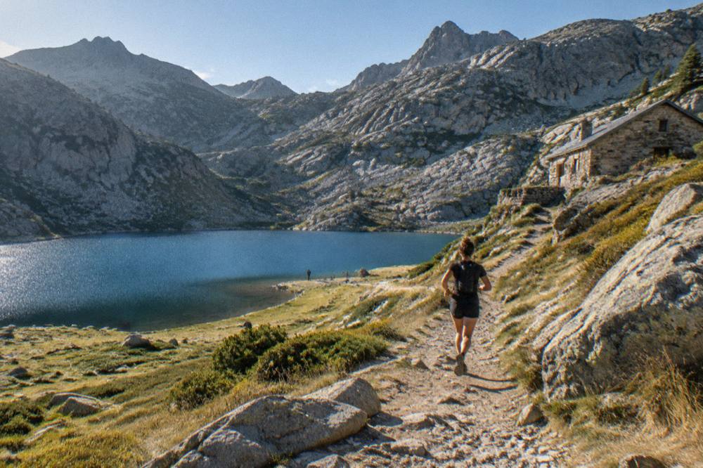
Season matters as much as shape. July averages 8.6 mm of rain at Ajaccio against November's 111.8 mm (Météo-France station data, 1991-2020), and the same summer months carry the fire-access restrictions on the massifs, along with a no-departures rule after 11:00 from Calenzana on the GR20's northern start. Spring and autumn give the interior its kindest walking windows.
What Should You Know Before Chasing Corsica's Hidden Gems?
The practical rules for Corsica's quiet corners are a car or a boat for almost everything, the daily fire-risk map in summer, refuge bookings online and in advance for any trail night, and emergency numbers 112 and 196 for sea rescue. Mountain rescue is the PGHM at Ajaccio on 04 95 24 24 00, and the euro is the currency on the island.
Getting to the quiet places usually means the island's own transport puzzle. Four airports serve Corsica, Ajaccio Napoléon Bonaparte (AJA), Bastia Poretta (BIA), Figari Sud Corse (FSC) and Calvi Sainte-Catherine (CLY), and the ferry ports run from Ajaccio, Bastia, Bonifacio, L'Île-Rousse, Propriano and Porto-Vecchio, with mainland sailings from Marseille, Toulon, Nice, Livorno, Savona and Genoa, plus the short Santa Teresa Gallura to Bonifacio link from Sardinia run by Moby and Ichnusa Lines. More than 8.5 million passengers passed through the island's ports and airports in 2025, and the summer share of them concentrates on a handful of famous names, which is precisely the argument for this page's corners.
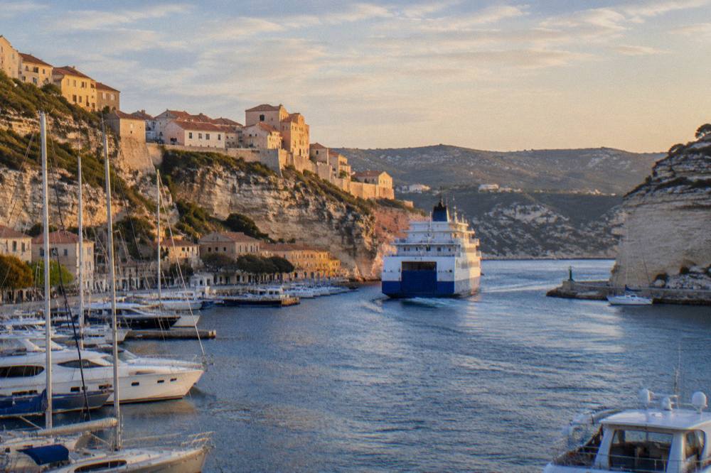
Safety facts are few and fixed. Emergency numbers are 112, 15 for medical, 17 for police, 18 for fire, 114 by SMS or app, and 196 for sea rescue on VHF channel 16. The US State Department lists France at Level 2, Exercise Increased Caution, a nationwide advisory. Tipping follows French law: menus must state "prix service compris" with the service percentage, and anything extra is optional. Ajaccio's main beaches have seven lifeguard posts from 1 July to the end of August, and Haute-Corse's supervised beaches are staffed by volunteer firefighters over roughly the same window, so a hidden cove almost by definition has no lifeguard.
The unsung towns deserve their own line. Bastia, the second town with 46,867 residents (2023 census), holds an old harbor and a Palais des Gouverneurs museum, and Ajaccio, the capital with 76,320 residents, pairs its Bonaparte sights with the Sanguinaires islands a short sail away. Sartène, Cargèse and the Valinco coast between them hold the island's quieter south-west, and the free things to do in Corsica page covers the corners that cost nothing at all.
Common Questions About Hidden Gems In Corsica
What Are The Hidden Gems In Corsica?
The quiet highlights are the Saleccia and Lotu beaches in the Désert des Agriates, the Cap Corse villages of Nonza, Erbalunga and Centuri, the Restonica and Spelunca valleys inland, the Cargèse and Sagone boat departures for Scandola and Girolata, and the prehistoric site of Filitosa in the south.
Can You Get To Saleccia And Lotu Without A 4x4?
Yes. The visit-corsica page for the Désert des Agriates lists three accesses: boat shuttles from Saint-Florent port (about April to October, weather permitting), the authorized 4x4 track from Casta, or arriving on foot. A guided jeep tour from Calvi is the other option.
What Is The Quietest Part Of Corsica?
The interior, the Castagniccia, the Niolu and the Alta Rocca, plus the Cap Corse peninsula, carry the fewest famous-name attractions per kilometre, and the Désert des Agriates has almost no paved access at all. Corte, the old capital, is the inland hub.
Do You Need A Guide For Corsica's Hidden Gems?
No, but several gems are easier with one: the Agriate jeep tracks, the Scandola reserve (boat-only access), and the long trails, where refuge nights must be booked online through the PNRC system in any case. Guided village, wine and food tours cover the rest.
When Is The Best Time To Visit Corsica's Quiet Corners?
No month is a fact. The pattern is a hot dry summer, when July averages 8.6 mm of rain at Ajaccio but massif access can be restricted from mid-June to mid-September, and a mild wet winter, with November at 111.8 mm. Spring and autumn trade heat for open trails.
Is Wild Camping Allowed Near Corsica's Hidden Beaches?
No. Wild camping is banned across Corsica, including the GR20 and the regional park, and bivouac is allowed only in the marked areas at PNRC refuges with a reserved pitch, EUR 12 per person with your own tent.