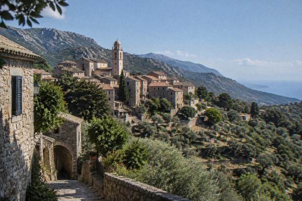
Sartène And The Valinco: Corsica's Granite South-West, From The Hill Town To The Gulf
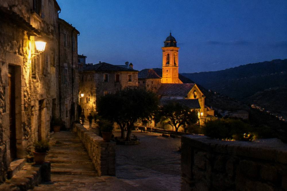
Sartène sits on a granite promontory above the Gulf of Valinco in southern Corsica, with the prehistoric site of Filitosa inland, the port of Propriano on the coast, and trails that cross the island to reach the sea here.
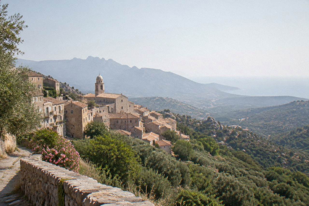
Sartène is an inland hill town in Corse-du-Sud, southern Corsica, about 20 minutes by road above the port of Propriano on the Gulf of Valinco. The area's headline sights are the Filitosa prehistoric site (open 1 April to 2 November, EUR 9 adults) and the beaches and boat trips around Propriano.
Sartène stands on a rocky spur in Corse-du-Sud, the southern department of the French Mediterranean island of Corsica, with the Gulf of Valinco spreading below it and the mountains of the Alta Rocca at its back. The town is the seat of a canton that runs from the interior almost to the sea, and its port on the gulf is Propriano, a small resort town with a marina from which boat trips, ferries and fishing boats leave. The whole Valinco coast sits between Ajaccio to the north-west and Porto-Vecchio to the east, with Bonifacio at the southern tip of the island about an hour and a half's drive down the coast road. This guide covers what the area offers, with the prices and hours the sources publish and the practical detail that shapes a visit: the Filitosa prehistoric site, the beaches, the long-distance footpaths that finish in Propriano, the ferries, and the Météo-France climate figures for the south-west.
Where Is Sartène And The Valinco In Corsica?
Sartène is an inland hill town in Corse-du-Sud, southern Corsica, set above the Gulf of Valinco, a deep bay on the island's south-west coast between Ajaccio and Bonifacio. Its port is Propriano, the resort and marina town at the head of the gulf, and the area belongs to the same granite south as the Alta Rocca and the Aiguilles de Bavella.
Corsica is the fourth-largest island in the Mediterranean, 8,722 km2, with more than 1,000 km of coastline and a mountainous interior that reaches 2,706 m at Monte Cinto. The Valinco is one of the island's southern coastal pockets: a gulf lined with beaches and small coves, backed by maquis-covered hills that climb toward the interior. Sartène itself is one of the larger towns of the deep south. The population figures the island works with are modest: the whole of Corsica counted 365,636 residents at 1 January 2026 in INSEE's provisional estimate, so towns like Sartène and Propriano stay small against the scale of the landscape.
The area reads as a triangle. Sartène sits inland on its spur, Propriano holds the coast, and Filitosa, the prehistoric site, lies between them near Sollacaro among the olive groves and cork oaks of the Rizzanese valley. From Propriano the road east runs to Porto-Vecchio, the road south runs to Bonifacio past the great beach of Palombaggia and the coves beyond, and the coast road north-west climbs toward the cliffs and red rocks of the Golfe de Porto and Piana. A full orientation of the island's regions is on the Corsica regions overview.
What Are The Best Things To Do Around Sartène And Propriano?
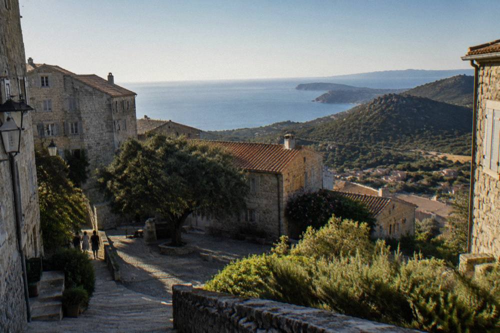
The area's main draws are the Filitosa prehistoric site with its statue-menhirs, the beaches and boat trips along the Gulf of Valinco out of Propriano, the hill town of Sartène itself, and day trips east and south to Porto-Vecchio, Bonifacio and the Îles Lavezzi. Food and wine fill the inland days: the Valinco sits among the maquis and chestnut country of southern Corsica.
Filitosa is the anchor sight, and it is a short drive from either Sartène or Propriano. Beyond it, the Valinco is above all a coast for slowing down: beaches, a marina, kayak and boat operators, and a sunset cruise tradition that has become one of the signatures of the gulf. A small-group Valinco sunset cruise with a glass of Corsican rosé on board is one of the area's best-reviewed products, and the boat leaves from Propriano's port.
Inland, Sartène rewards time on foot: granite alleyways, small squares, and a town museum of prehistory and local history. The town is also a practical base for the Alta Rocca and Zonza area to the east, where the Aiguilles de Bavella and the needle ridges above the Bavella pass sit about an hour's drive away. The gorge country of the south, the Restonica-style mountain valleys and the plateau country of Cuscionu and Coscione are all reachable on guided 4x4 and e-mountain-bike days that run out of Porto-Vecchio.
How Do You Visit Filitosa, And What Does It Cost?
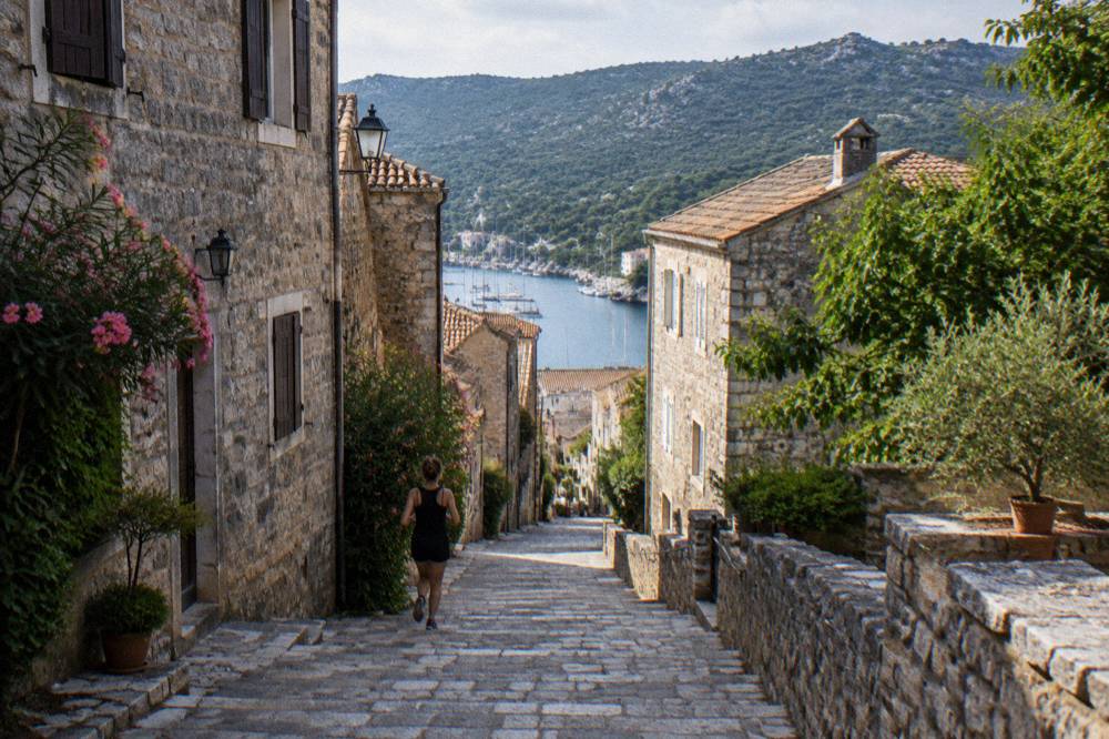
Filitosa is open 1 April to 2 November, from 09:00 to sunset, and the site's own page says to allow about 1 h 30 for a visit, with the museum open 09:00 to 19:00. Entry costs EUR 9 for adults aged 18 and over, EUR 7 reduced for ages 6 to 17 and disabled visitors, EUR 28 for a family of two adults and two children aged 6 to 17, and children under 6 go free.
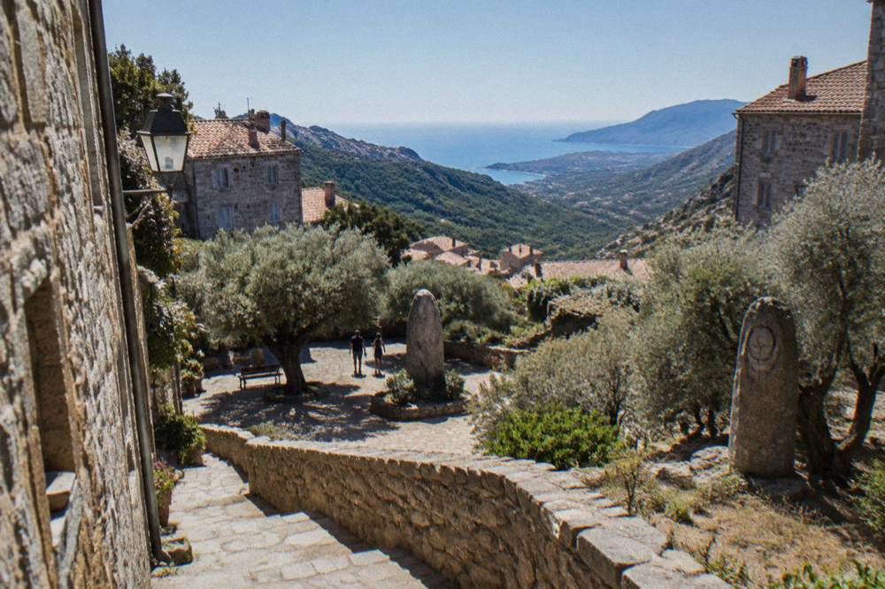
The site stands near Sollacaro, in the hills between Sartène and the sea, and it is the prehistoric landmark of the Valinco: aligned standing stones, carved statue-menhirs and the remains of settlements scattered through a grove of olives. The listed prices and the season come from the site's own timetable-and-rates page, which also notes the museum's longer summer hours. There is no need to book a slot for the open-air site in normal conditions; the 1 April to 2 November season is the fixed frame.
The table below collects the admission prices:
| Ticket | Price |
|---|---|
| Adult (18+) | EUR 9 |
| Reduced (6 to 17, disabled) | EUR 7 |
| Family (2 adults + 2 children 6 to 17) | EUR 28 |
| Under 6 | Free |
Filitosa pairs naturally with a second prehistoric site of the south, Cucuruzzu and Capula near Levie in the Alta Rocca, so check the current hours and fees for Cucuruzzu before setting out. For museum days in the region, the Musée de la Corse in Corte (EUR 5.50, one ticket covering museum and citadel) is the island's main ethnographic collection, a drive into the interior. If the plan is museums and coast in one trip, Ajaccio's Maison Bonaparte (EUR 10, closed Mondays) and Palais Fesch (EUR 10, EUR 6 over 65, free up to 18, daily 09:00 to 17:00) sit about an hour and a half north by road.
Which Beaches And Coves Line The Gulf Of Valinco?
The Gulf of Valinco runs along a string of sandy beaches and rocky coves around Propriano, with the celebrated white-sand beaches of the far south, Palombaggia and Santa Giulia, within driving distance toward Porto-Vecchio, and the Îles Lavezzi reachable by boat from Bonifacio at the island's southern tip. The gulf itself is a swimming, kayaking and small-boat coast rather than a big-resort coast.
Propriano fronts the gulf with its own town beaches and a series of sandy bays along the road south toward Tizzano and Campomoro, at the western mouth of the gulf below the Torre de Campomoro, one of the Genoese-tower coastlines that guard every Corsican headland. Campomoro sits inside a protected coastal conservancy area with a long beach and a small harbour. To the east, beyond the gulf, the coast road climbs toward Porto-Vecchio and the beaches that made the south famous: Palombaggia with its pines, Santa Giulia's curved bay, and Rondinara between Bonifacio and Porto-Vecchio.
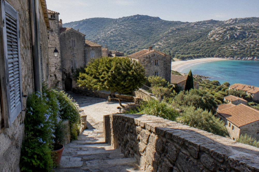
For boat days, Propriano's marina is the local departure point for sunset cruises and coastal trips, and Bonifacio, about an hour and a half south, is the port for the Lavezzi and La Maddalena island world. A full-day small-group trip from Bonifacio to La Maddalena and the Îles Lavezzi covers both archipelagos in one long day on the water; Check availability if that day belongs in the itinerary. The Bouches de Bonifacio Nature Reserve, managed by the Conservatoire du Littoral's partner OEC, encloses the Lavezzi islands, and visits run under reserve rules: land where landing is permitted, nothing removed, and the sea grass beds left alone.
A useful way to weigh the coast options:
| Beach Or Trip | Where | What It Is |
|---|---|---|
| Propriano town beaches | Gulf of Valinco | Sandy town beaches by the marina |
| Campomoro | West mouth of the gulf | Long sandy beach and small harbour below a Genoese tower |
| Palombaggia | South of Porto-Vecchio | Pine-backed white-sand beach |
| Santa Giulia | South of Porto-Vecchio | Curved shallow bay |
| Îles Lavezzi | Boat from Bonifacio | Protected island archipelago in the Bouches de Bonifacio reserve |
Where Does The Valinco Fit On Corsica's Long-Distance Trails?
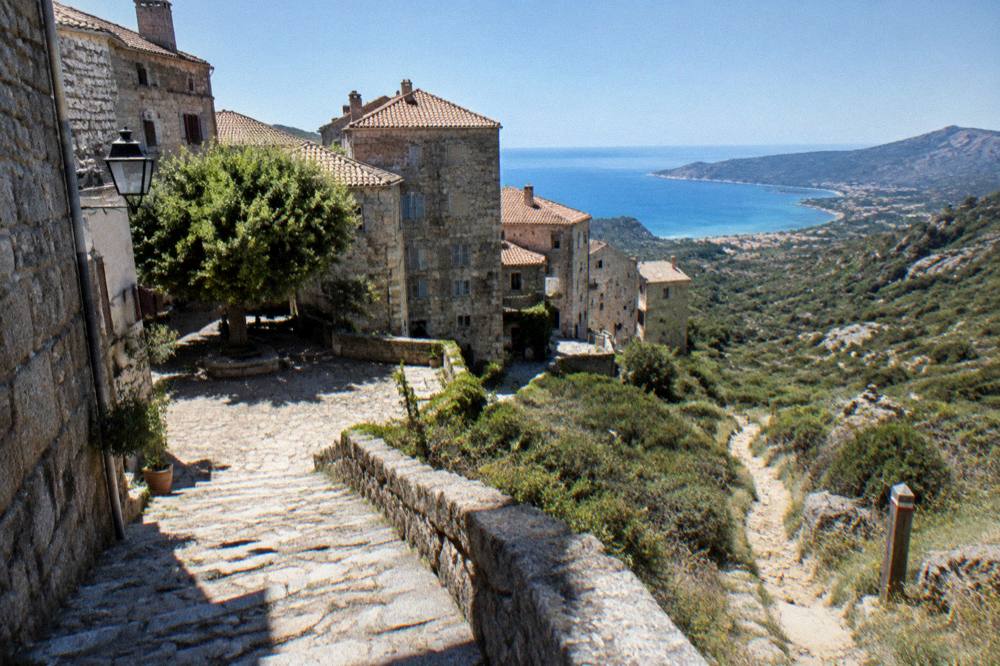
Two of Corsica's signed long-distance footpaths finish in Propriano: the Mare a Mare Sud, 73 km over 5 days with 3,200 m of climbing, and the Mare e Monti Sud, 66 km over 5 days with 2,700 m of climbing. Both are PNRC waymarked itineraries, lighter undertakings than the GR20, and both end by walking down to the sea at the head of the Gulf of Valinco.
The Parc naturel régional de Corse, created in 1972, signs and maintains the island's grand traverses, and the PNRC's own trail brochure gives the figures above. The Mare a Mare Sud crosses the island's southern waist from east to west, and the Mare e Monti Sud follows the southern coast and hill country to finish in Propriano. For walkers who want the serious mountain itinerary, the GR20 runs 180 km north to south in about 15 stages of 4 to 8.5 hours; its 2026 refuge season runs 16 May to 4 October, with obligatory online booking, bunk nights at EUR 20 and bivouac pitches at EUR 12 per person, per the PNRC's GR20 page.
| Trail | Length | Days | Total Climb | Finish Point |
|---|---|---|---|---|
| Mare a Mare Sud | 73 km | 5 | 3,200 m | Propriano |
| Mare e Monti Sud | 66 km | 5 | 2,700 m | Propriano |
| Mare a Mare Centre | 84 km | 7 (Ghisonaccia to Porticcio) | 3,900 m | Porticcio |
| Mare a Mare Nord | 139 km (161 km with variant) | 8 to 12 | 5,900 m | Calvi direction |
| Mare e Monti Nord | 121 km | 10 | 6,100 m | Cargèse |
| GR20 | 180 km | about 15 stages | not stated on the PNRC page | Conca |
Two rules shape walking in the Valinco's hills. Wild camping is banned across Corsica, including the GR20; bivouac is tolerated only in the marked areas at refuges, and on the GR20 those pitches must be reserved. And from 15 June to 30 September it is forbidden to light a fire or smoke in forests, maquis and massifs, with a fire-risk map updated at 18:00 each day for the next day and massif access restrictions possible from mid-June to mid-September.
What Is The Weather Like Around The Valinco?
The Météo-France climate normals for Ajaccio, the nearest published station to the Valinco, show a hot dry summer and a mild wet winter: July averages 8.6 mm of rain and a 28.6 °C mean daily high, while November carries 111.8 mm of rain and a 18.3 °C mean high, and the annual total is 635.0 mm. Snow in the south-west falls only on the high mountains inland.
The figures below are station means for the 1991 to 2020 period from Météo-France's monthly climatological base, at Ajaccio Campo dell'Oro. Bastia's station on the east coast runs a touch wetter in autumn, 134.3 mm in November, which gives a fair picture of the island's south generally: a summer shaped by heat and drought, an autumn that fills the streams, and a winter that is mild at sea level.
| Month | Mean High °C | Mean Low °C | Rain mm | Sunshine h/day |
|---|---|---|---|---|
| Jan | 14.0 | 4.7 | 54.1 | 4.4 |
| Feb | 14.2 | 4.3 | 48.1 | 5.5 |
| Mar | 16.0 | 5.9 | 50.4 | 6.8 |
| Apr | 18.5 | 8.3 | 53.1 | 7.7 |
| May | 22.1 | 11.8 | 49.8 | 9.3 |
| Jun | 25.9 | 15.4 | 25.9 | 11.1 |
| Jul | 28.6 | 17.7 | 8.6 | 12.1 |
| Aug | 29.2 | 18.1 | 15.8 | 11.1 |
| Sep | 26.1 | 15.4 | 57.8 | 8.7 |
| Oct | 22.8 | 12.6 | 85.7 | 6.7 |
| Nov | 18.3 | 9.0 | 111.8 | 4.7 |
| Dec | 15.1 | 5.8 | 73.9 | 4.0 |
Fire season is the one weather-driven rule to plan around: the UK FCDO notes a high wildfire risk in France from April to October, and the island-wide 15 June to 30 September ban on fires and smoking in forests and maquis is enforced. Ajaccio ran seven lifeguard posts on its main beaches from 1 July to the end of August 2026, and Haute-Corse's supervised beaches are staffed by volunteer firefighters over roughly the same window, so swimmers used to patrolled beaches should treat July and August as the season for that.
How Do You Get To Sartène And Propriano?
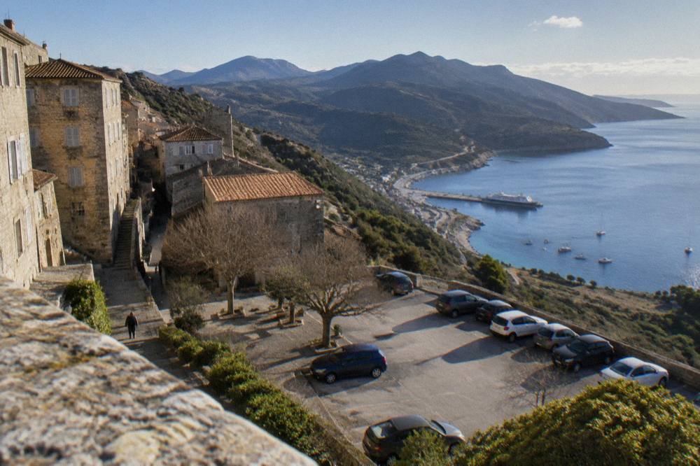
Propriano is one of Corsica's ferry ports, served on the Marseille route by Corsica Linea, and Corsica Ferries also lists Propriano among its mainland-linked ports, while the nearest airports for the Valinco are Ajaccio Napoléon Bonaparte (AJA) to the north-west and Figari Sud Corse (FSC) to the south-east. By road, Corte is 2 h 45 from the area and Bonifacio is the southern neighbour down the coast.
The island's four airports are Ajaccio (AJA), Bastia Poretta (BIA), Figari Sud Corse (FSC) and Calvi Sainte-Catherine (CLY), and Figari is the airport most used for the far south, with Ajaccio serving the south-west. Crossing times are ranges only: Marseille to Corsican ports runs about 12 to 13 hours and is mostly overnight, Toulon about 10 to 13 hours, and the short Sardinia link, Santa Teresa Gallura to Bonifacio, about 50 to 60 minutes.
On the island, a car is the practical tool for the Valinco. The roads are narrow mountain roads by mainland standards, and Inforoutes Corse publishes live road conditions and pass accessibility levels, which matters after storms and in winter. The Chemins de fer de la Corse rail network does not reach the Valinco: its lines are Ajaccio to Bastia via Corte, Ponte-Leccia to Calvi, and the Balagne coastal line between Calvi and L'Île-Rousse. The road times to Corte, from the Musée de la Corse's practical page, give a sense of the island's scale from the area's central crossroads: Bastia 1 h, Ajaccio 1 h 30, Calvi 1 h 30, Porto-Vecchio 2 h, Bonifacio 2 h 45, Propriano 2 h 45.
Where Should You Base Yourself: Sartène, Propriano Or Porto-Vecchio?
Propriano is the Valinco's coastal base, with the beaches, marina and boat trips on the doorstep; Sartène is the inland base, quieter and closer to Filitosa and the Alta Rocca roads; and Porto-Vecchio, an hour's drive east, is the larger resort town with the biggest choice of restaurants and the famous beaches directly to its south.
The choice is mostly about what a day should look like. From Propriano, a Valinco sunset cruise leaves from the marina and Filitosa is a short drive inland. From Sartène, the day starts in the hills and the Alta Rocca is nearer: the Aiguilles de Bavella, the Cuscionu plateau and the 4x4 and e-bike circuits that run out of Porto-Vecchio all sit within range. From Porto-Vecchio, the trade is distance from the Valinco's calm for the buzz of the east coast and the quick run to Palombaggia and Santa Giulia.
For a two-centre week, pairing the Valinco with the west coast works well: a Cargèse boat tour with a stop at Girolata and the Scandola reserve covers the UNESCO-listed Gulf of Porto from the sea, and it pairs with the Scandola boat tour products described elsewhere on this site. The UNESCO property, "Gulf of Porto: Calanche of Piana, Gulf of Girolata, Scandola Reserve", inscribed in 1983, is a full day's drive and sail from the Valinco, so it belongs at the start or end of a southern loop rather than as a midweek excursion. Farther afield, Bastia and the Cap Corse peninsula are the northern counterpart, with the island's second town and its old harbour; the full island picture is on Corsica Travel Guide's own overview pages.
What Should A One-Day Sartène And Valinco Plan Look Like?
A workable day pairs Filitosa in the morning, when the site opens at 09:00 and about 1 h 30 covers the stones and museum, with an afternoon on a Valinco beach or a sunset cruise from Propriano, and either lunch in Sartène or dinner by the marina; add Campomoro or the coast road south if the day runs long.
The geometry of the area makes this easy: Sartène, Filitosa and Propriano sit within a short drive of one another, so no leg of the day wastes time. Walkers with more than a day can pick up the final stage of the Mare a Mare Sud or Mare e Monti Sud, both of which deliver their finishers to Propriano and the sea, and culture-first travellers can add the prehistory museum in Sartène to the Filitosa visit for the full sweep of the south's stone past.
Safety basics for the day: the European emergency number is 112, with 15 for medical, 17 for police, 18 for fire, 114 by SMS or app, and 196 for sea rescue on VHF channel 16; mountain rescue is the PGHM at Ajaccio on 04 95 24 24 00. Restaurant menus in France state "prix service compris" with the service percentage included, so an extra tip is optional rather than expected.
Common Questions About Sartène And The Valinco
What Is Sartène In Corsica Known For?
Sartène is an inland granite hill town in Corse-du-Sud above the Gulf of Valinco, the seat of a canton that includes the port of Propriano and the Filitosa prehistoric site, and a practical base for the Alta Rocca roads to the east. It has its own museum of prehistory and local history.
How Far Is Sartène From The Sea?
Sartène sits inland on its spur, and the port and beaches of Propriano on the Gulf of Valinco are the coast below it, connected by a short road leg. The area's published road times run to Corte at 2 h 45 and Bonifacio at 2 h 45 from the region's crossroads, with Porto-Vecchio 2 h.
What Does Filitosa Cost And When Is It Open?
Filitosa is open 1 April to 2 November, 09:00 to sunset, with the museum 09:00 to 19:00 and about 1 h 30 suggested for a visit. Entry is EUR 9 for adults 18 and over, EUR 7 reduced for ages 6 to 17 and disabled visitors, EUR 28 for a family of two adults and two children, and free under 6.
Can You Take A Boat Trip From Propriano?
Yes. Propriano's marina is the departure point for the Valinco's coastal and sunset cruises, including a small-group sunset tour with Corsican rosé on board. For the island archipelagos, the Îles Lavezzi and La Maddalena trips depart from Bonifacio, about an hour and a half south.
Which Walking Trails End In Propriano?
Two PNRC-signed long trails finish in Propriano: the Mare a Mare Sud, 73 km over 5 days with 3,200 m of climbing, and the Mare e Monti Sud, 66 km over 5 days with 2,700 m of climbing, per the PNRC trail brochure.
When Is The Best Time To Visit The Valinco?
The Météo-France Ajaccio normals show July averaging 8.6 mm of rain with a 28.6 °C mean daily high and November carrying 111.8 mm, so summer is hot and dry and autumn mild but wet, with winter mild at sea level and snow only on the high mountains. No single month is a fact; the choice depends on heat, walking and fire-season rules, which run 15 June to 30 September.