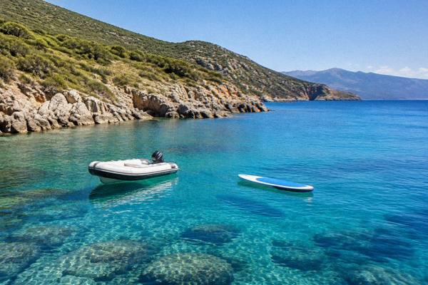
Centuri Port
This guide sets out what is known about the port, Cap Corse and the practical business of visiting: sight prices and hours, ferries, the weather as Météo-France records it, and the tours that cover this coast by sea.
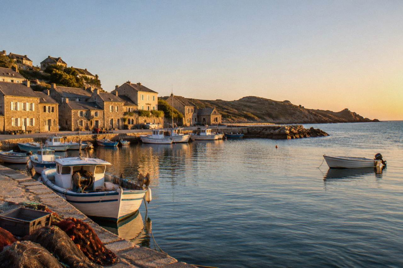
Centuri Port is a small fishing harbour on Cap Corse in northern Corsica, best reached by car or as part of a Cap Corse trip from Saint-Florent or Bastia. The peninsula has no train line, so a car, a tour or the island's road network is the way in.
Centuri Port is the small harbour on the Cap Corse peninsula at the northern end of Corsica, the French Mediterranean island of 8,722 km2 with more than 1,000 km of coastline and an interior that rises to Monte Cinto at 2,706 m. The village belongs to Haute-Corse, whose population INSEE put at about 190,500 in its 2026 estimates, and the peninsula it sits on runs north from the wine country around Patrimonio, where the Patrimonio appellation sits at the base of Cap Corse, as the island's tourist board reports. This page gathers what the sources actually say: the practical prices and hours for sights within reach, the ferries that serve nearby Bastia, the climate as the Météo-France station records it, and the boat and land tours that cover this stretch of coast.
What And Where Is Centuri Port In Corsica?
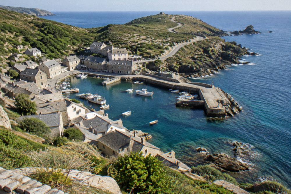
Centuri Port is a small harbour village on the north-western shore of Cap Corse, the peninsula at the northern end of Corsica, in the Haute-Corse department. It sits on an island with sea on every side, more than 1,000 km of coastline and a mountainous interior, and it belongs to the same northern territory as Bastia, whose population INSEE recorded at 46,867 in the census figures published in 2026.
The port faces the sea, as everything on Cap Corse does sooner or later: the peninsula is narrow enough that no settlement sits far from water, and the island around it is defined by its coast. Corsica is the fourth-largest island in the Mediterranean, covering 8,722 km2, with 360 communes and a population the provisional INSEE estimate for 1 January 2026 put at 365,636, growing every year since 2021. The island is administered as the Collectivité de Corse, a single territorial authority with special status that replaced the former collectivity and the two departmental councils on 1 January 2018.
Cap Corse itself runs north from around Patrimonio, and the broader region ties together several of the island's named sights: the Désert des Agriates and the beaches of Saleccia and Lotu to the south-west, the old port towns of the east coast, and Bastia at the peninsula's base on the east side. For orientation, the site's Corsica regions overview places every one of these in context, and the guide to Cap Corse covers the peninsula end to end. Centuri's role in that map is simple: it is one of the northern harbours, the kind of place travellers reach by road while looping the peninsula.
How Do You Get To Centuri Port?
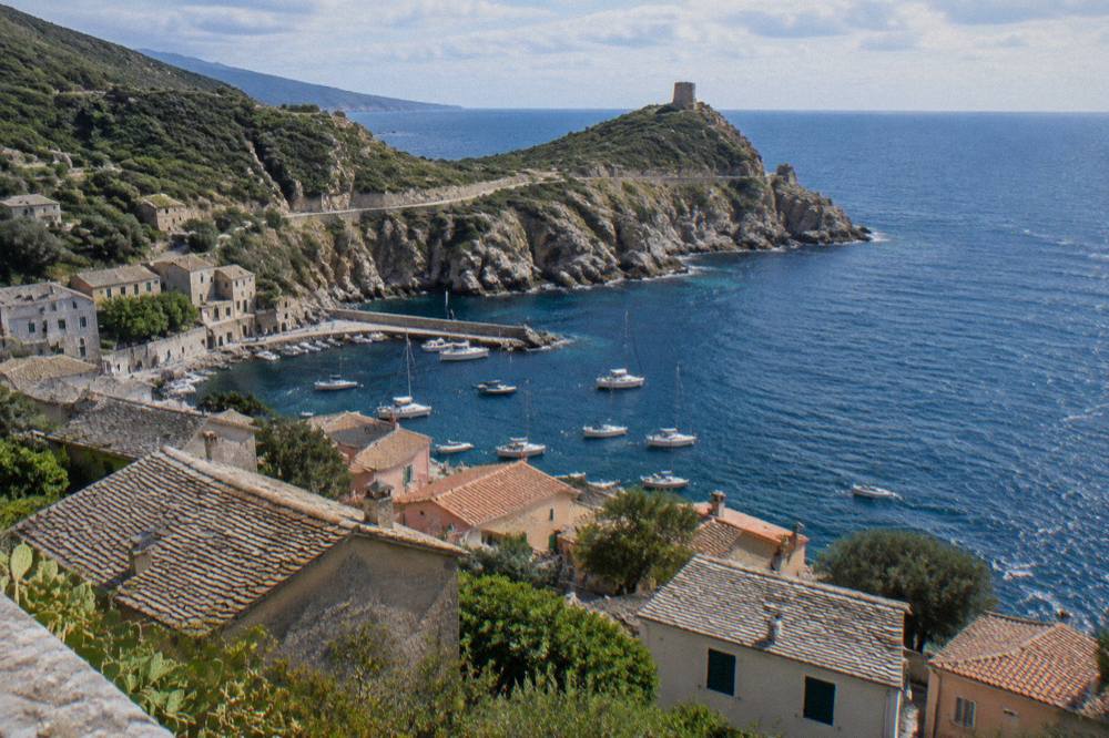
There is no railway on Cap Corse, so Centuri Port is reached by road, by car or as part of an organised trip, with the nearest train lines lying well to the south on the island network. The Chemins de fer de la Corse runs Ajaccio to Bastia via Corte, Ponte-Leccia to Calvi, and the Balagne coastal line between Calvi and L'Île-Rousse, none of which touches the peninsula.
Arriving from the continent, ferries are the other half of the answer. Corsica Linea sails Marseille to L'Île-Rousse, Bastia, Propriano and Ajaccio; La Méridionale sails Marseille to Ajaccio and Marseille to Porto-Vecchio; Moby sails Livorno to Bastia, Genoa to Bastia, and Santa Teresa Gallura to Bonifacio. Corsica Ferries sails from Toulon and Nice to Ajaccio, Bastia, L'Île-Rousse, Porto-Vecchio and Propriano, and from Livorno and Savona to Bastia. Bastia is the port that serves Cap Corse directly.
Reported crossing times, which come from an aggregator rather than an operator and should be treated as ranges only: Santa Teresa Gallura to Bonifacio about 50 to 60 minutes, Livorno to Bastia about 4 to 5 hours, Savona to Bastia about 6.5 hours, Nice to Bastia about 7.5 to 10 hours, Toulon routes about 10 to 13 hours, and Marseille routes about 12 to 13 hours, mostly overnight. Four airports serve the island: Ajaccio Napoléon Bonaparte (AJA), Bastia Poretta (BIA), Figari Sud Corse (FSC) and Calvi Sainte-Catherine (CLY). Bastia Poretta is the closest to the peninsula.
| Mainland Or Island Port | Corsican Port | Operator (As Listed) | Crossing Range |
|---|---|---|---|
| Marseille | Bastia | Corsica Linea | About 12 to 13 hours |
| Livorno | Bastia | Corsica Ferries, Moby | About 4 to 5 hours |
| Savona | Bastia | Corsica Ferries | About 6.5 hours |
| Genoa | Bastia | Moby | Seasonal |
| Nice | Bastia | Corsica Ferries | About 7.5 to 10 hours |
| Toulon | Bastia | Corsica Ferries | About 10 to 13 hours |
| Santa Teresa Gallura | Bonifacio | Moby, Ichnusa Lines | About 50 to 60 minutes |
Road conditions on the island's mountain network matter more than timetable arithmetic. Inforoutes Corse publishes live road conditions and accessibility levels for the main mountain passes, and checking it before a day of driving is the standing advice for any Corsican route. More than 8.5 million passengers, excluding cruise passengers, passed through Corsica's ports and airports in 2025, according to the ORTC and DREAL annual report published on 30 May 2026, which gives a sense of the summer pressure on every road into and out of the north.
What Can You See Around Centuri Port And Cap Corse?
The sights within reach of Centuri Port cluster along Cap Corse and its base: the Musée de Bastia at the Palais des Gouverneurs, reported open 10:00 to 18:30 in high season and 09:00 to 12:00 and 14:00 to 17:00 in low season, closed Sunday and Monday; the Désert des Agriates beaches of Saleccia and Lotu to the west; and the Patrimonio wine country at the peninsula's base, all reachable on a peninsula loop.
The Musée de Bastia sits in the Palais des Gouverneurs in the old town, and its hours should be confirmed before you go. The Vieux Port de Bastia guide covers the harbour quarter around it, and the port city makes a natural base for a Cap Corse day out. At the peninsula's southern base, the Désert des Agriates stretches westward: its beaches, Saleccia and Lotu, are reached by boat shuttle from Saint-Florent, reported to run about April to October weather permitting, by 4x4 track from Casta, or on foot. The dedicated pages on Saleccia beach and Lotu beach set out each one.
Further afield but realistic from a northern base, the island's headline sights hold their hours and prices steady. Filitosa, the prehistoric site in the south-west, is open 1 April to 2 November from 09:00, with entry at EUR 9 for adults, EUR 7 reduced, EUR 28 for a family of two adults and two children aged 6 to 17, and free for under-6s. The Filitosa guide carries the full breakdown, and the table below gathers the entry figures that the sources do publish.
| Sight | Hours (As Published) | Entry (EUR) | Notes |
|---|---|---|---|
| Musée de Bastia, Palais des Gouverneurs | High season 10:00 to 18:30; low season 09:00 to 12:00 and 14:00 to 17:00 | Not published | Closed Sunday and Monday; reported, confirm before you go |
| Filitosa prehistoric site | 1 April to 2 November, from 09:00 | 9 adults, 7 reduced, 28 family | Free under 6; allow about 1 h 30 |
| Musée de la Corse, Corte | 1 May to 31 Oct daily 10:00 to 19:00 (closed 1 May); 1 Nov to 30 Apr 10:00 to 17:00, closed Sun, Mon, holidays | 5.50 full, 4 reduced, 3 over-65s and young people | One ticket covers museum and citadel |
| Maison Bonaparte, Ajaccio | 1 Jul to 30 Sep 10:00 to 17:30; 1 Apr to 30 Jun 10:00 to 12:30, 13:15 to 17:30; 1 Oct to 31 Mar 10:30 to 12:30, 13:15 to 16:30 | 10 full, 8 non-EU 18 to 25 and large families, free EU under 26 | Closed Monday |
| Palais Fesch, Ajaccio | Daily 09:00 to 17:00, 16 Jan to 31 Dec 2026 | 10 full, 6 over 65, free up to 18 | Closed Christmas, New Year and 1 November |
| Escalier du Roi d'Aragon, Bonifacio | Monthly hours vary | About 5 adult | 189 steps; closed shoes required |
A note on what this table cannot do: no source publishes Bonifacio or Calvi citadel fees or hours, or site fees at Erbalunga and Nonza, both also on Cap Corse, so those stay out rather than guessed.
What Is The Weather Like At Centuri Port?
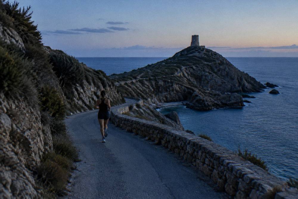
The nearest Météo-France station data for the north of Corsica is the Bastia record for 1991-2020, which shows a hot dry summer and a mild wet winter: August averages a 29.8 °C daily high, July carries 13.8 mm of rain, October 126.5 mm and November 134.3 mm, with the high mountains of the interior, not Cap Corse, taking the snow.
The Bastia normals are station means from Météo-France for 1991-2020, and they describe the east-coast lowlands at the base of the peninsula. February shows the lowest mean daily low at 5.1 °C, and August the highest mean daily high at 29.8 C. Rain concentrates in the autumn and winter months: October averages 126.5 mm and November 134.3 mm, while July averages 13.8 mm and June 38.8 mm. Sunshine runs from about 4.5 hours a day in January to 11.2 in July.
| Month | Daily High (°C) | Daily Low (°C) | Rain (mm) | Sunshine (h/Day) |
|---|---|---|---|---|
| Jan | 13.8 | 5.4 | 67.3 | 4.5 |
| Feb | 13.9 | 5.1 | 63.5 | 5.5 |
| Mar | 15.8 | 6.8 | 63.7 | 6.3 |
| Apr | 18.3 | 9.1 | 71.6 | 7.3 |
| May | 22.4 | 12.6 | 53.7 | 8.7 |
| Jun | 26.4 | 16.5 | 38.8 | 10.2 |
| Jul | 29.4 | 19.4 | 13.8 | 11.2 |
| Aug | 29.8 | 19.8 | 21.1 | 10.1 |
| Sep | 26.0 | 16.7 | 74.5 | 7.9 |
| Oct | 22.0 | 13.4 | 126.5 | 5.9 |
| Nov | 17.7 | 9.5 | 134.3 | 4.5 |
| Dec | 14.8 | 6.4 | 88.1 | 4.5 |
One safety angle follows directly from the climate. From 15 June to 30 September it is forbidden to light a fire or smoke in forests, scrub and massifs across the island, and the UK FCDO notes a high risk of wildfires in France during the summer season, April to October. The fire-risk access map is updated at 18:00 for the next day, and from mid-June to mid-September access to some massifs can be restricted, which matters if a Cap Corse visit is paired with walking in the interior.
Can You Visit Centuri Port And The Agriates On A Day Trip?
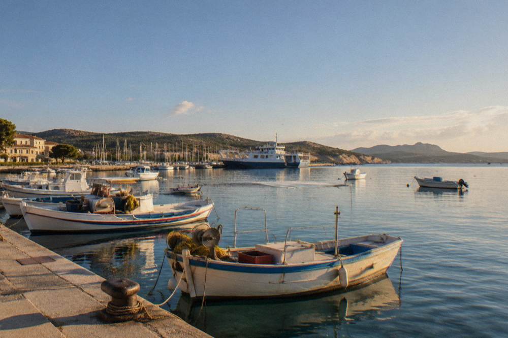
Yes: the day-trip product from the region is the Cap Corse and Désert des Agriates half-day trip that departs from Saint-Florent and covers the peninsula and the desert, and the Agriates beaches themselves are reached by boat shuttle from Saint-Florent, which runs about April to October weather permitting, by 4x4 track from Casta, or on foot.
Beyond it, the Agriates work as a self-guided day: the shuttle services are private operators out of Saint-Florent's port, and the beaches at the end of them, Saleccia and Lotu, each have a full page on this site. The Désert des Agriates overview ties the whole area together with the peninsula.
For a longer northern loop, the practical geometry favours two bases: Bastia for the east side of Cap Corse and the peninsula road, and Saint-Florent for the Agriates and the west. The Musée de la Corse in Corte publishes road times on its practical page for reaching Corte, and Corte is inland, a different proposition from the peninsula: one hour from Bastia, 1 h 30 from Ajaccio and from Calvi, two hours from Porto-Vecchio, and 2 h 45 from Bonifacio and from Propriano. Those figures belong to Corte and are not transferable to Cap Corse roads. The rest of the planning pages sit on Corsica Travel Guide.
| Northern Base | What It Serves | Key Access Fact |
|---|---|---|
| Bastia | Cap Corse east coast, ferry arrivals, Musée de Bastia | Ferries from Marseille, Livorno, Savona, Genoa, Nice, Toulon |
| Saint-Florent | Désert des Agriates, Saleccia, Lotu, Patrimonio nearby | Boat shuttles to the beaches, reported about April to October |
| Calvi | Balagne coast, sea trips toward Scandola | Train lines to Ponte-Leccia and L'Île-Rousse, as reported |
| Centuri | The northern Cap Corse coast | Reached by road; no railway on the peninsula |
Which Boat Tours Cover The Coasts Near Cap Corse?
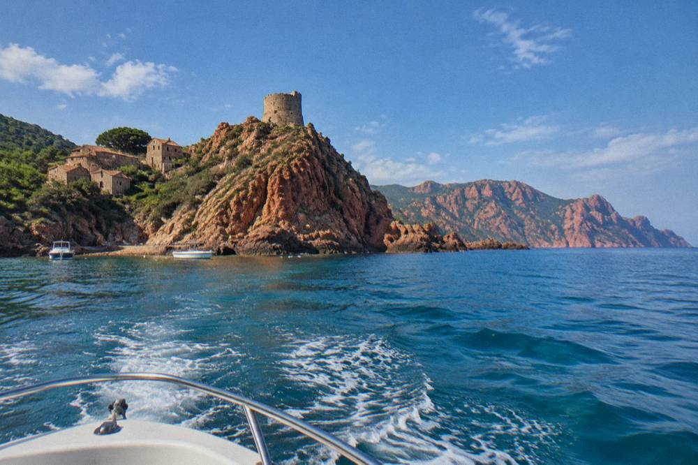
The northern boat products are the Calvi to Scandola tour, which crosses from Calvi to the Scandola Nature Reserve by sea, and the Le Grand Tour cruise departing from Bastia's old harbour, alongside the catamaran excursions from L'Île-Rousse into the Agriates, which sit between the peninsula and the Balagne coast and carry aperitif, sunset and full-day options.
The reserve, the first created in Corsica by ministerial order on 9 December 1975, covers 1,000 ha of sea and 919 ha of land with a 70 ha integral reserve, managed by the PNRC on the commune of Osani, and its land area is closed to the public: visits are by boat only, with no landing in the integral reserve, daytime anchoring allowed outside the integral reserve and the Gargalu channel, anchors up at sunset, and no recreational line or spear fishing. The UNESCO property, "Gulf of Porto: Calanche of Piana, Gulf of Girolata, Scandola Reserve", dossier 258, was inscribed in 1983.
The State and the OEC confirmed a common roadmap on 28 April 2026, after a management agreement renewed on 27 February 2026, built on voluntary labelling of boat operators, a QR-code tracking trial for pleasure boats, more controls at sea and renewed quiet zones for the osprey, the bird whose Corsican population the reserve was key to saving. Quotas and licences are to be consolidated in a regulatory framework being finalised, with no year attached to it. If a Calvi stay is on the itinerary, the Scandola Nature Reserve and Calanques de Piana pages cover the destination end in depth.
What Should You Know About Food And Wine Around Centuri?
Cap Corse sits at the top of an island whose protected foods run from brocciu, which obtained its appellation d'origine in 1983 and its AOC and AOP in 1998, to the charcuterie trio of prisuttu, lonzu and coppa, which took AOC in 2012 and AOP in 2014, while the Patrimonio appellation, as the tourist board reports, lies at the base of the peninsula itself.
The island's designations stack up in the official record. The AOP "Farine de châtaigne corse, Farina castagnina corsa" was recognised in 2010 with a defence body created in 2001; the AOC "Huile d'olive de Corse, Oliu di Corsica" took effect in 2004; the AOP "Miel de Corse, Mele di Corsica" exists, with the Corsican honey AOC dated 1998; and the Clémentine de Corse holds an IGP obtained in 2007 with a Label Rouge in 2014. The three charcuterie cuts rest on the Nustrale pig breed, recognised in 2006. About 98% of metropolitan France's citrus area was in Corsica on CESEC data from the 2014 era, a figure that should not be presented as current.
Wine is the peninsula's own subject. The island's appellations, as reported by the tourist board, include Patrimonio, Ajaccio, Vin de Corse with its named crus of Calvi, Coteaux du Cap Corse, Figari, Porto-Vecchio and Sartène, and Muscat du Cap Corse, with Nielluccio and Sciaccarellu as the red grapes and Vermentinu as the white. A restaurant bill on the island carries a rule worth knowing: menus must state "prix service compris" with the service percentage, and extra tips are optional, a requirement set out by the DGCCRF.
| Corsican Product | Designation | Year In The Sources |
|---|---|---|
| Brocciu | Appellation d'origine; AOC/AOP | 1983; 1998 |
| Prisuttu, lonzu, coppa | AOC; AOP | 2012; 2014 |
| Farine de châtaigne corse | AOP | 2010 |
| Huile d'olive de Corse | AOC | 2004 |
| Miel de Corse | AOC/AOP | 1998 |
| Clémentine de Corse | IGP; Label Rouge | 2007; 2014 |
How Does Centuri Port Fit Into A Bigger Corsica Trip?
Centuri Port works as the northern turn on a loop that runs Bastia up Cap Corse, back through Saint-Florent and the Agriates, and on toward Calvi and the Balagne, with the island's long-distance walking trails, the GR20 at 180 km with about fifteen stages, and the Mare a Mare and Mare e Monti routes at 66 to 139 km, all lying in the interior and the south rather than on the peninsula itself.
The trail figures come from the PNRC's own material. Mare e Monti Nord runs 121 km over 10 days to Cargèse with 6,100 m of climbing; Mare a Mare Nord is 139 km, or 161 km with the variant, over 8 to 12 days with 5,900 m of climbing; Mare a Mare Centre is 84 km from Ghisonaccia to Porticcio over 7 days, or 6 days to Tavera, with 3,900 m of climbing; Mare a Mare Sud is 73 km over 5 days ending in Propriano with 3,200 m of climbing; and Mare e Monti Sud is 66 km over 5 days, also ending in Propriano, with 2,700 m of climbing. The GR20's northern start is Calenzana, with no departures after 11:00 under a municipal order linked to fire risk, and its first stage to Ortu di u Piobbu runs about 6 h 30 out.
For 2026 the PNRC refuges are guarded from 16 May to 4 October inclusive, booking is mandatory for both bunk and bivouac, online only, and the rates are EUR 20 per person for a refuge bunk, EUR 12 for a bivouac pitch with your own tent, EUR 27 for a rented tent for one and EUR 39 for two. Wild camping is banned across Corsica including the GR20, with bivouac only in the marked areas at refuges, and dogs are not allowed inside refuges or rented tents.
| Trail | Length | Days | Total Climb |
|---|---|---|---|
| GR20 (Fra li Monti) | 180 km | About 15 stages of 4 to 8.5 hours | Not stated |
| Mare e Monti Nord | 121 km | 10 | 6,100 m |
| Mare a Mare Nord | 139 km (161 km with variant) | 8 to 12 | 5,900 m |
| Mare a Mare Centre | 84 km | 7 (6 to Tavera) | 3,900 m |
| Mare a Mare Sud | 73 km | 5 | 3,200 m |
| Mare e Monti Sud | 66 km | 5 | 2,700 m |
Is Centuri Port A Good Base For Families?
Yes, with the right expectations: Cap Corse suits families who want a quiet harbour base, short peninsula drives and boat days, while the supervised-swimming picture is defined by the season, since Ajaccio ran 7 lifeguard posts from 1 July to the end of August 2026 on its main beaches, and Haute-Corse's supervised beaches are staffed by volunteer firefighters about 1 July to 31 August.
Emergency cover is the same island-wide set of numbers: 112 as the EU standard, 15 for medical, 17 for police, 18 for fire, 114 by SMS or app for deaf or speech-impaired callers, and 196 for sea rescue via VHF channel 16 at sea. Mountain rescue reaches the PGHM in Ajaccio on 04 95 24 24 00, with 17 or 112 as the emergency entry points. The US State Department lists France at Level 2, Exercise Increased Caution, a standing advisory, that applies nationwide.
Family-priced entries help the budget arithmetic. Filitosa's family ticket is EUR 28 for two adults and two children aged 6 to 17 with under-6s free; Maison Bonaparte is free for EU residents under 26 and EUR 8 for non-EU residents aged 18 to 25 and large families; the Palais Fesch is free up to 18; and the Musée de la Corse is free for under-10s. Tipping is optional everywhere: service is included in menu prices by law.
What Do You Need To Know Before You Go?
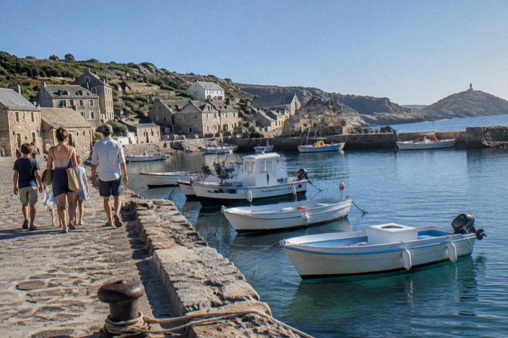
The essentials for Centuri Port are a car or a seat on a trip, since no railway reaches Cap Corse; a check of Inforoutes Corse before any mountain driving, since it publishes live pass conditions; awareness of the 15 June to 30 September fire and smoking ban in forests, scrub and massifs; euros for local costs; and the 18:00 daily update of the fire-risk access map if walking is on the plan.
Book what can be booked. GR20 refuge nights, at EUR 20 for a bunk or EUR 12 for a bivouac pitch, are online-only and mandatory, and FFRandonnée announced the opening of the 2026 reservations. Boat tours around Scandola and the Lavezzi islands carry their own availability, and the island's second sea highlight, the Îles Lavezzi inside the Bouches de Bonifacio Nature Reserve managed by the OEC, is covered in the Îles Lavezzi guide, with the Bonifacio citadel and cliffs above it. In the north, the Citadelle de Calvi anchors the Balagne end of a northern loop.
Finally, keep the island's shape in mind when planning. Centuri Port is at one end of a long, narrow territory: the same island that holds the Aiguilles de Bavella in the south and the Restonica valley in the interior holds this harbour in its far north, and no ferry fare, train fare or taxi fare appears in the sources on this page, so those costs stay unplanned here rather than invented. What the sources give, this page has given exactly.
Common Questions About Centuri Port
Where Is Centuri Port?
Centuri Port is a small harbour on the north-western side of Cap Corse, the peninsula at the northern end of Corsica, in the Haute-Corse department of a French island with more than 1,000 km of coastline.
How Do You Get To Centuri Port?
By road: no railway reaches Cap Corse. The Chemins de fer de la Corse runs Ajaccio to Bastia via Corte, Ponte-Leccia to Calvi, and the Balagne line between Calvi and L'Île-Rousse, and the closest ferry port and airport to the peninsula are Bastia and Bastia Poretta (BIA).
Is There A Boat Tour From Near Centuri Port?
The northern boat products depart from Bastia, Calvi and L'Île-Rousse rather than Centuri itself, including the Calvi to Scandola crossing, the Le Grand Tour cruise from Bastia's old harbour, and the catamaran excursions into the Agriates from L'Île-Rousse.
What Does It Cost To Visit Sights Around Cap Corse?
Where prices are published: Filitosa is EUR 9 adults, EUR 7 reduced and EUR 28 family; the Musée de la Corse in Corte is EUR 5.50 full with one ticket covering museum and citadel; Maison Bonaparte is EUR 10 full; and the Palais Fesch is EUR 10 full and EUR 6 over 65, free up to 18. Confirm hours before you go, especially the Musée de Bastia, whose schedule is reported rather than published by the museum.
When Can You Reach The Agriates Beaches From Saint-Florent?
The boat shuttles from Saint-Florent to Saleccia and Lotu are reported to run about April to October, weather permitting, and the beaches are also reached by 4x4 track from Casta or on foot.
What Is The Weather Like On Cap Corse?
The Météo-France Bastia station normals for 1991-2020 show August averaging a 29.8 °C daily high, July 13.8 mm of rain, October 126.5 mm and November 134.3 mm: a hot dry summer and a mild wet winter, with snow only on the high mountains of the interior.