Cap Corse In A Day
Cap Corse is the long finger of land at the northern end of Corsica, reached from Bastia or Saint-Florent, and a single well-planned day covers its port villages, clifftop viewpoints and the edge of the Désert des Agriates.
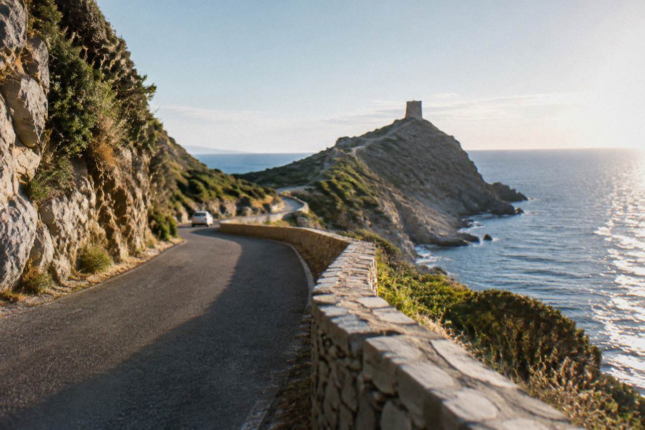
A day in Cap Corse works best as a loop from Bastia or Saint-Florent: drive the west coast past Nonza, cut across to Centuri on the north coast, and return down the east side through Erbalunga. Allow a full day, start early, and check the fire-risk map and road status in summer.
Cap Corse is the peninsula that runs north from Bastia and Saint-Florent to the far tip of Corsica, a French island in the Mediterranean with more than 1,000 km of coastline and a mountainous interior that rises to Monte Cinto at 2,706 m. The cape itself is a place of small ports, Genoese-looking towers on the ridges and a coast road that threads between the sea and the maquis. One day is enough to see the shape of it, provided the plan is built around the roads rather than against them.
The practical anchors for this article come from the island's own institutions: the Collectivité de Corse's Inforoutes service publishes live road conditions, Météo-France station normals give the climate picture, and the Parc naturel régional de Corse (PNRC) covers the rules that apply on the trails of the Désert des Agriates. Where a figure is reported rather than confirmed, that is stated, and readers should confirm before travelling.
Where Is Cap Corse In Corsica?
Cap Corse is the peninsula at the northern end of Corsica, separated from the rest of the island by a line that runs roughly from Bastia, on the east coast, to Saint-Florent on the west. It is a department of Haute-Corse, and the cape's villages, from Erbalunga in the east to Centuri at the north-west, sit on a spine of land between the Tyrrhenian and the Mediterranean. The base of the cape carries the Patrimonio wine appellation, reported on the island's tourism pages.
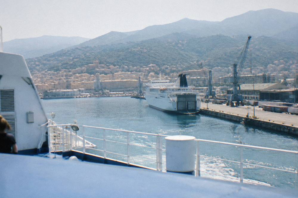
The cape reads as a world of its own on the map. Bastia, the second town of Corsica with 46,867 residents at the 2023 census, is the natural gateway, and the town's old harbour is where the ferry lines from Italy and mainland France arrive. Saint-Florent, on the opposite side of the cape's base, opens onto the Golfe de Saint-Florent and the Désert des Agriates beyond it.
The peninsula is not alpine country. The high mountains of the interior, Corte and the GR20 country, lie far to the south, and the cape's terrain is lower, road-bound and stitched with small coves. That is what makes it work in a day: the loop is a drive with stops, not an expedition.
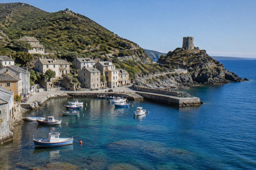
For orientation before the trip, the Cap Corse area guide lays out the peninsula village by village, and the question is Cap Corse worth visiting? answers itself once the distances are clear.
How Do You Get To Cap Corse For A Day Trip?
Cap Corse is reached by road from Bastia or from Saint-Florent, and Bastia is the main transport hub: ferry lines from Marseille (Corsica Linea, La Méridionale), from Livorno, Savona and Genoa (Corsica Ferries and Moby) and the airport of Bastia Poretta (BIA) all feed the town. The Chemins de fer de la Corse railway links Bastia inland towards Corte and Ponte-Leccia, but the cape itself is road territory, so a car, a small-group tour or a 4x4 is the practical answer.
There is no train up the cape. The island's rail lines, as reported by the Chemins de fer de la Corse, run Ajaccio to Bastia via Corte, Ponte-Leccia to Calvi, and the Balagne coastal line from Calvi to L'Île-Rousse, none of which enters the peninsula. Driving is therefore the default, and the tour of the Corsican train is a separate day out, not a way into the cape.
Road conditions matter more here than almost anywhere else in Corsica. Inforoutes Corse, the Collectivité de Corse's road service, publishes live status and accessibility levels for the main mountain passes, and checking it the evening before a cape day is the habit worth keeping. The island's mountain roads are narrow by nature, and Inforoutes is the primary source for closures and col access.
For arrivals by sea, these are the reported crossing ranges, quoted as ranges only because schedules and vessels vary:
| Route | Crossing time | Operator(s) |
|---|---|---|
| Santa Teresa Gallura to Bonifacio | about 50 to 60 minutes | Moby, Ichnusa Lines |
| Livorno to Bastia | about 4 to 5 hours | Corsica Ferries, Moby |
| Savona to Bastia | about 6.5 hours | Corsica Ferries |
| Nice to Bastia | about 7.5 to 10 hours | Corsica Ferries |
| Toulon to Ajaccio or Bastia | about 10 to 13 hours | Corsica Ferries |
| Marseille to Ajaccio or Bastia | about 12 to 13 hours, mostly overnight | Corsica Linea, La Méridionale |
If the day starts without a car, a guided option covers the ground: the Cap Corse and Agriates half-day trip runs from Saint-Florent, and it can be paired with the Saint-Florent and Cap Corse trip description for the beaches side of the plan.
What Are The Essential Stops On A Cap Corse Day Trip?
A workable day loops the peninsula from Bastia: out along the east coast through Erbalunga, up to Centuri at the north-west, down the west coast past Nonza, and back along the base through Patrimonio wine country towards Saint-Florent. The peninsula holds no single ticketed mega-sight; the day is built from ports, viewpoints and short walks, which is exactly why a loop plan matters more than a list.
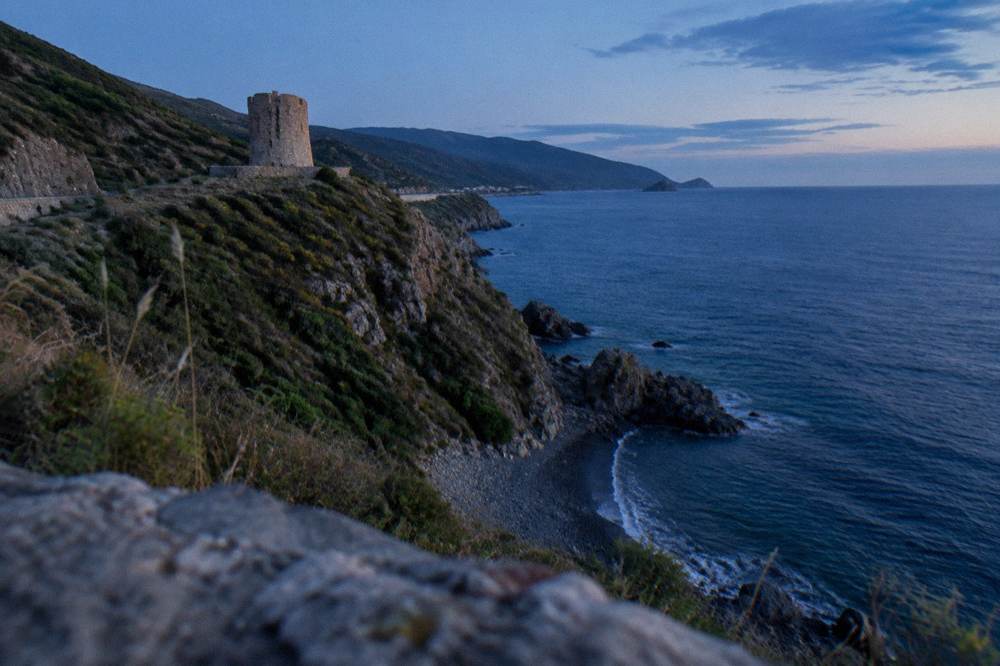
Erbalunga, on the east coast north of Bastia, is a stone harbour village and one of the cape's classic first stops. Centuri, at the north-western end, is the cape's fishing port, and the coastline around it is the wildest quarter of the day. Nonza, on the west coast, sits above a dark beach and a tower on the cliff edge. No site fee, hour or road time for these villages is stated here, because none is confirmed in the island's own published material, and invented drive times on mountain roads are worse than none.
Two Bastia institutions can bookend the day, and the Museum of Bastia in the Palais des Gouverneurs is the one with published hours, reported by the museum's own information page and worth confirming before you go:
| Museum of Bastia season | Hours | Closing days |
|---|---|---|
| High season | 10:00 to 18:30 | closed Mondays in May, June and September; open daily July and August |
| Low season | 09:00 to 12:00 and 14:00 to 17:00 | closed Sundays and Mondays |
The old harbour itself, the Vieux Port of Bastia's starting point for the rail day, costs nothing to walk, and the museum gives the historical frame for the Genoese-built town the ferries deposit visitors into. Budget the museum for an hour at the start or the end, not the middle: the cape roads reward an early departure.
A half-day guided trip is the alternative to driving the loop alone, and it covers the cape: Check availability for the Cap Corse and Désert des Agriates half-day trip if a guided version of this day appeals.
Can You Combine Cap Corse With The Désert Des Agriates?
Yes, but only as a Saint-Florent extension, not as part of the cape loop itself: the Désert des Agriates begins west of Saint-Florent at the base of the peninsula, and its famous beaches, Saleccia and Lotu, are reached by boat shuttle from Saint-Florent harbour (about April to October, weather permitting, as reported by visit-corsica.com), by 4x4 track from Casta, or on foot. The full cape loop plus Saleccia is too much for one day; choose one or the other.
The Agriates is protected ground inside the Parc naturel régional de Corse, created in 1972, and the rules of the park apply. Wild camping is banned across Corsica, with bivouac tolerated only in the marked areas near PNRC refuges on the GR20, and from 15 June to 30 September it is forbidden to light a fire or smoke in forests, maquis and massifs. The fire-risk map is updated at 18:00 for the next day, and from mid-June to mid-September access to some massifs can be restricted by prefectural order. The rest of the planning pages sit on Corsica Travel Guide.
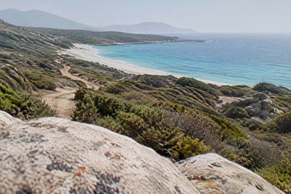
The practical choice is between three shapes of day. A cape loop from Bastia skips the beaches. A Saint-Florent day does the Agriates by shuttle or catamaran and leaves the cape's north for another trip. A guided half-day covers both the cape and the Agriates in one move, at the cost of independence. The Désert des Agriates day trip guide works through the beach side in detail.
From L'Île-Rousse, further down the west coast, the Agriates also open up from the sea:
What Is The Weather Like Around Cap Corse?
Cap Corse sits in Corsica's Mediterranean climate of hot dry summers and mild wet winters, and the nearest picture comes from the Météo-France climate normals for 1991-2020 at the Bastia station, on the cape's doorstep: August averages a 29.8 °C daily high, July carries 13.8 mm of rain, and October and November carry the heaviest monthly rain totals at 126.5 mm and 134.3 mm. Snow in Corsica falls on the high mountains, not on the cape.
These are station averages, not forecasts, and the cape's exposed coasts can feel windier than the sheltered station site suggests. For a day trip the operative numbers are the rain months and the fire season: October and November are the months with the highest monthly rain totals on the Bastia record, and mid-June to mid-September is the window when massif access rules and fire bans bite.
| Month | Bastia daily high | Bastia daily low | Bastia rain mm | Ajaccio daily high | Ajaccio rain mm |
|---|---|---|---|---|---|
| January | 13.8 | 5.4 | 67.3 | 14.0 | 54.1 |
| April | 18.3 | 9.1 | 71.6 | 18.5 | 53.1 |
| July | 29.4 | 19.4 | 13.8 | 28.6 | 8.6 |
| August | 29.8 | 19.8 | 21.1 | 29.2 | 15.8 |
| October | 22.0 | 13.4 | 126.5 | 22.8 | 85.7 |
| November | 17.7 | 9.5 | 134.3 | 18.3 | 111.8 |
Source of the figures: Météo-France station normals, 1991-2020, for Bastia and Ajaccio (Campo dell'Oro). For a month-by-month breakdown of the whole island, the Corsica in the rain page covers the wet-season planning question directly.
Where Do You Eat And Drink Around Cap Corse?
The cape's table is the island's table: brocciu, the sheep's or goat's milk cheese whose appellation d'origine dates from 1983 and whose AOC followed in 1998; the charcuterie trio of prisuttu, lonzu and coppa, which took AOC in 2012 and AOP in 2014; and the Patrimonio wine appellation reported at the base of the cape itself. The island's AOP pantry also counts chestnut flour (Farina castagnina corsa, recognised 2010), Corsican honey (AOC 1998), Corsican olive oil (AOC effective 2004) and the Clémentine de Corse IGP (2007).
At the base of the cape, Patrimonio is the name to know: it is one of the island's wine appellations, alongside Ajaccio, Vin de Corse with its named crus, and Muscat du Cap Corse, and the main red grapes of the island, Nielluccio and Sciaccarellu, with Vermentinu for the whites, are reported across the island's own gastronomy pages. A wine stop near Patrimonio, between the cape loop and Saint-Florent, is the natural lunch anchor of the day.
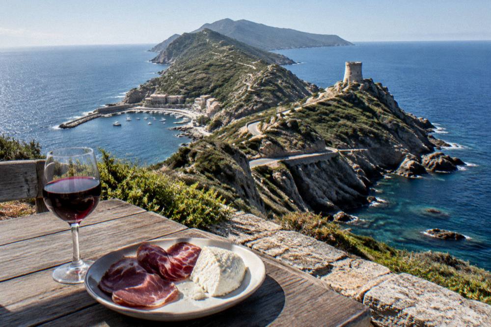
For the drinks beyond wine, the island's own answers are in the Corsican drinks guide, which covers Cap Corse the apéritif and Pietra the chestnut beer. A food-focused version of the whole island is in the wider things to do in Corsica roundup.
Tipping on the island follows French law rather than American habit: menus must state "prix service compris" with the service percentage, and an extra tip is optional, per the DGCCRF consumer guidance. Nobody needs to budget a percentage on top of a Cap Corse lunch.
What Other Corsica Day Trips Pair Well With Cap Corse?
Cap Corse pairs best with the Désert des Agriates and Saint-Florent, which sit at its base, and with a second day built around the sea: the Scandola and Girolata cruise from the Golfe de Porto, the Calanques de Piana day trip on the west coast, or the Bonifacio and Lavezzi trip at the southern tip. From Corte, reachable in a reported one hour from Bastia by road, the interior opens with the Restonica valley, and Bavella crowns the far south-east.
The island's day-trip geography splits cleanly. The north holds Cap Corse, the Agriates and the Balagne, whose hilltop villages make a full day of their own on the Balagne villages day trip. The west coast holds the UNESCO property "Gulf of Porto: Calanche of Piana, Gulf of Girolata, Scandola Reserve", inscribed in 1983, visited by boat from Porto, Cargèse or Sagone, and covered in the Scandola and Girolata boat trip and Calanques de Piana day trip guides.
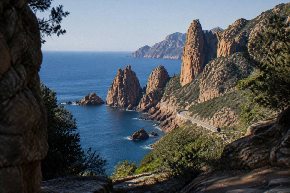
The south holds Bonifacio, whose cliffs and citadel anchor the Bonifacio and Lavezzi day trip, and from whose port a short ferry links to Sardinia on the Sardinia day trip from Bonifacio. The interior holds Corte and Restonica on the Restonica and Corte day trip, and the Aiguilles de Bavella on the Bavella day trip.
For a second sea day after the cape, ticketed sight prices on the classic inland pairings are worth having in one place, all from the museums' own pages:
| Sight | Price | Hours note |
|---|---|---|
| Maison Bonaparte, Ajaccio | EUR 10 full, EUR 8 non-EU residents 18 to 25 and large families, free for EU residents under 26 | closed Mondays |
| Palais Fesch, Ajaccio | EUR 10 full, EUR 6 over 65, free up to 18 | daily 09:00 to 17:00, closed 25 Dec, 1 Jan and 1 Nov |
| Musée de la Corse and citadel, Corte | EUR 5.50 full, EUR 4 and EUR 3 reduced, one ticket covers both | daily 10:00 to 19:00 in high season |
| Filitosa, Sollacaro | EUR 9 adults, EUR 7 reduced, EUR 28 family | open 1 April to 2 November |
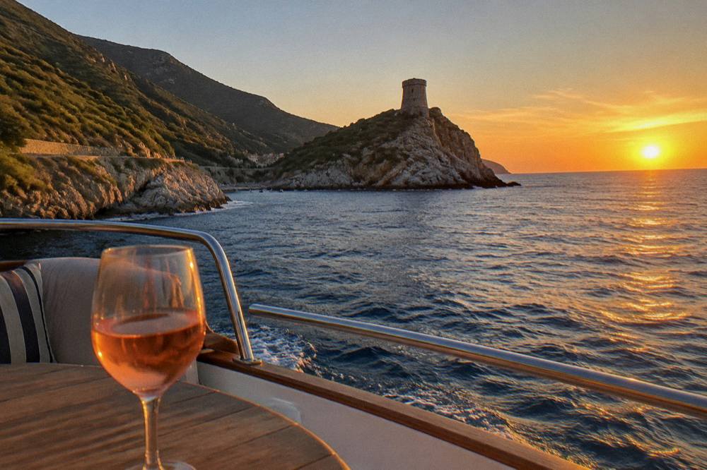
An evening cruise is the softest way to end any Corsica day, and the Valinco sunset trip with a Corsican rosé covers exactly that register:
Common Questions About A Cap Corse Day Trip
Can You Do Cap Corse In One Day?
Yes. The peninsula loops by road from Bastia or Saint-Florent, and a single long day covers the east coast, the northern ports and the west coast villages. Combine it with the Désert des Agriates beaches only if the day is built around Saint-Florent and a shuttle or guided trip.
Do You Need A Car For Cap Corse?
A car is the default, because the cape has no railway: the Chemins de fer de la Corse lines run Bastia to Ajaccio via Corte, Ponte-Leccia to Calvi, and Calvi to L'Île-Rousse, none of them up the peninsula. A guided half-day trip is the car-free alternative.
What Is The Weather Like In Cap Corse?
The Bastia Météo-France station normals for 1991-2020 show a hot dry summer and a mild wet winter: August averages a 29.8 °C daily high, July 13.8 mm of rain, and October and November carry the heaviest monthly rain totals, 126.5 mm and 134.3 mm.
How Do You Reach Saleccia And Lotu From Cap Corse?
The two Désert des Agriates beaches are reached by boat shuttle from Saint-Florent, reported as running about April to October weather permitting, by 4x4 track from Casta, or on foot. Wild camping is banned across the Agriates and the rest of Corsica.
Is The Fire Risk A Problem In Summer?
From 15 June to 30 September fires and smoking are forbidden in forests, maquis and massifs, the fire-risk map is updated at 18:00 for the next day, and access to some massifs can be restricted from mid-June to mid-September. Check the prefecture-linked map before a hiking day.
What Wine Is Cap Corse Known For?
The Patrimonio appellation sits at the base of the cape, reported on the island's tourism pages. Island-wide, the appellations include Ajaccio, Vin de Corse with its named crus, and Muscat du Cap Corse, with Nielluccio and Sciaccarellu as the main red grapes and Vermentinu for whites.
A day in Cap Corse rewards an early start, a loop planned around Bastia or Saint-Florent, and a weather check the evening before; everything else, from Patrimonio at lunch to the Agriates shuttles, falls into place around those three decisions.
Before you go, the pick for this guide:
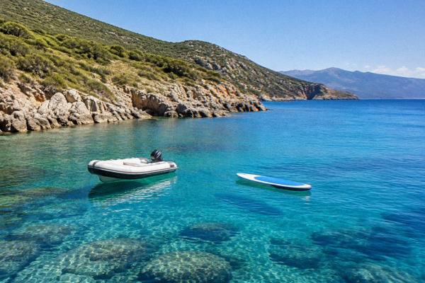
Cap Corse Boat, Paddleboard
Four-hour half-day trip around Cap Corse and the Agriates.
★ 4.63 253 reviews · From $73.02
Check availability →