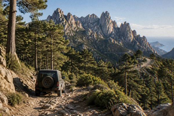
Cavu Natural Pools In Corsica
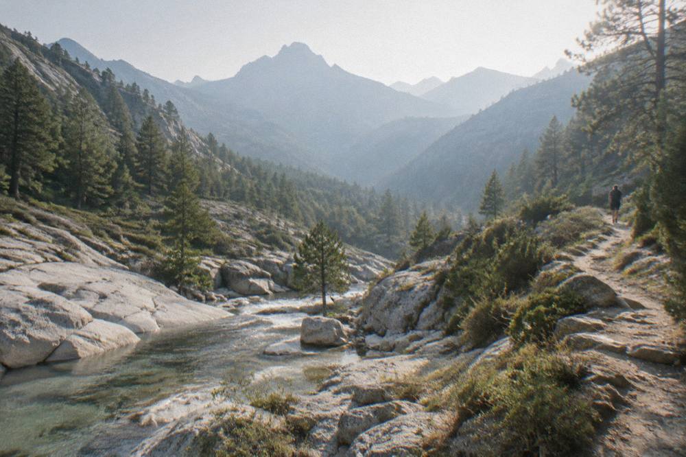
The Cavu natural pools are freshwater pools on a mountain river in southern Corsica, inland from the island's southeast coast and within reach of Porto-Vecchio, the Ospedale forest and the Aiguilles de Bavella.
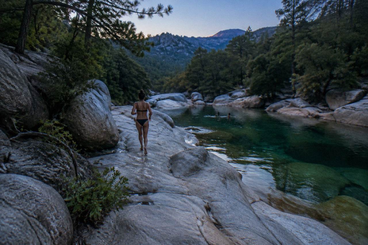
The Cavu natural pools lie in southern Corsica, in the mountainous interior behind the southeast coast, close to the Aiguilles de Bavella and within driving range of Porto-Vecchio. They are a river and rock-pool destination, best understood alongside the island's summer fire rules and mountain safety numbers.
The island of Corsica, a French Mediterranean island of 8,722 km2 with more than 1,000 km of coastline, keeps its freshwater secrets in the mountains as much as its famous sand on the shore. The Cavu natural pools belong to that inland half of the island: a river of the southeast draining from the high ground towards the coast, where the water collects in hollows of rock. This page gathers what the primary sources say about the area around the pools, the rules that govern Corsica's rivers and massifs in summer, the climate figures that shape a visit, and the guided days out that depart from the same corner of southern Corsica.
Where Are The Cavu Natural Pools In Corsica?
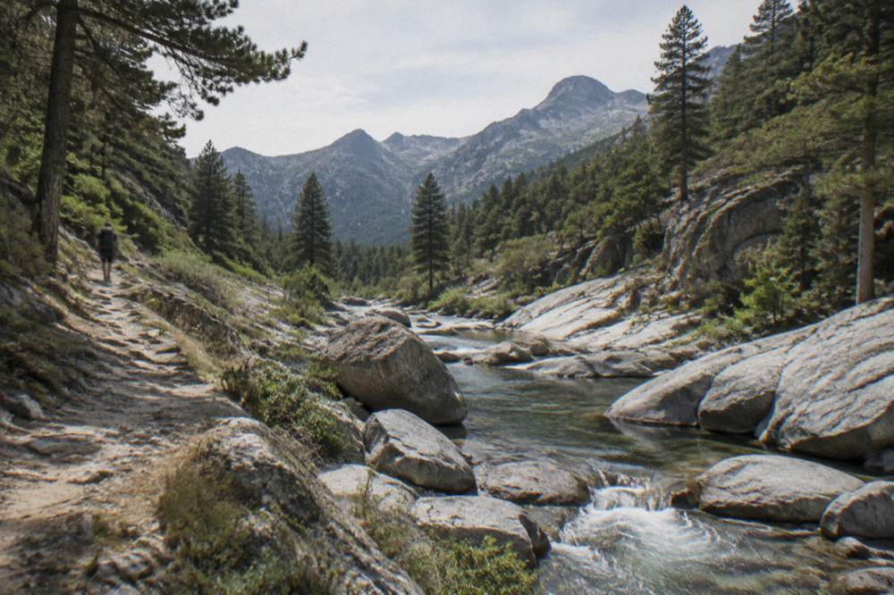
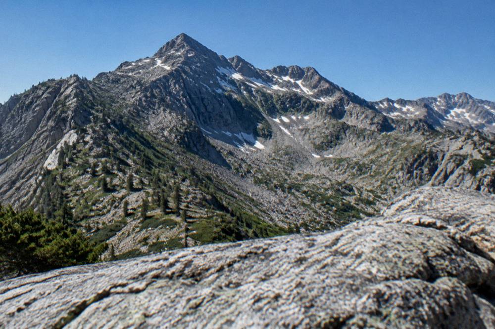
The Cavu natural pools sit in southern Corsica, on the river Cavu, which drains the mountains of the island's southeast towards the coast near Porto-Vecchio and Sainte-Lucie-de-Porto-Vecchio. They sit inland, in the part of the island the facts describe as the mountainous interior, whose highest summit island-wide is Monte Cinto at 2,706 m, and they are reached through the same country as the Aiguilles de Bavella and the Ospedale forest.
Corsica is often summed up in one line from the territorial authority's own documents: 8,722 km2, the fourth-largest island in the Mediterranean, 360 communes, and a spine of mountains that runs the island's length. The coast gets the postcards, with more than 1,000 km of it, but the interior holds the Parc naturel régional de Corse, created in 1972, now 4,484 km2 including the Castagniccia and the big valleys that run down to the sea. The Cavu valley belongs to that southeast quarter where the park's high country tilts towards Porto-Vecchio.
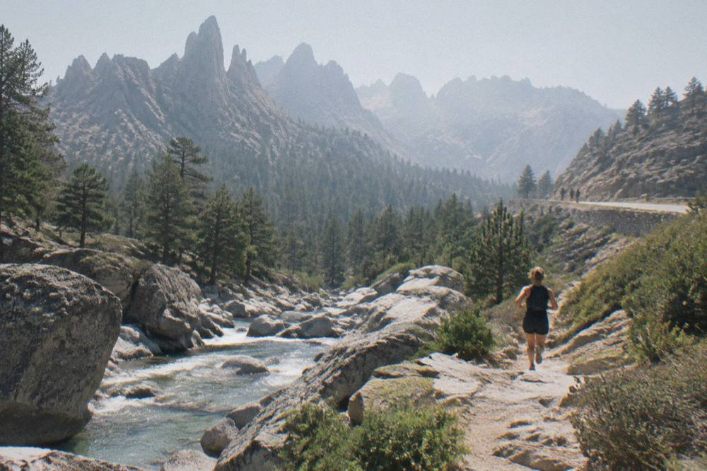
The practical anchor for planning is Porto-Vecchio, the southeast's main town, one of the island's ferry ports and a base with a full range of boat trips, 4x4 tours into the interior and beaches such as Palombaggia and Santa Giulia on its doorstep. The Aiguilles de Bavella, the jagged ridge that marks the high ground of the southeast, and the Ospedale forest above Porto-Vecchio are the two named landmarks that frame the Cavu catchment in the published material. For a wider orientation of the island's regions and bases, the Corsica Travel Guide homepage carries the full map of the territory.
For walkers, the long-distance trail network gives a sense of scale. Mare a Mare Sud runs 73 km over five days and ends in Propriano, while Mare e Monti Sud runs 66 km, also five days, also ending in Propriano. Neither trail is a pool-hopping afternoon, but both cross the kind of granite river country the Cavu belongs to, and both figures come from the PNRC's own brochure.
What Is There To Do Near The Cavu Natural Pools In Corsica?
The Cavu area works as a base for southern Corsica's active interior days: guided canyoning on the region's rivers, 4x4 tours of the Ospedale forest and the Aiguilles de Bavella, and small-group day trips to the old hilltop villages of the interior, with Porto-Vecchio's beaches and boat trips an hour's drive back towards the coast. Each of these runs as a bookable guided product from the southeast.
Canyoning is the closest cousin of a natural-pools day: the same rivers, the same granite, but with harnesses, helmets and a guide. For the southeast specifically, the Ospedale forest and Bavella needles 4x4 tour covers the high country above Porto-Vecchio in a single day, and the hilltop villages day trip reaches the old settlements of the interior in a small group.
Back on the coast, the southeast holds some of the island's best-known sand. Palombaggia, Santa Giulia and Rondinara are the three names the island's beach guide keeps closest to Porto-Vecchio, and a river-and-rock morning pairs naturally with an afternoon on one of them. Further afield, the same region's days out include the prehistoric site of Filitosa, open 1 April to 2 November with adults at EUR 9, reduced EUR 7 and a family ticket at EUR 28.
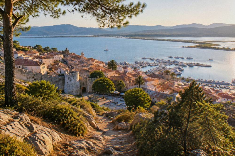
The mountain alternative, if a river day is not enough, is the Restonica valley above Corte, Corsica's old capital, which the museum's own practical page gives as 1 h 30 by road from Ajaccio and Calvi, 2 h from Porto-Vecchio and 2 h 45 from Bonifacio and Propriano. Those road times, published by the Musée de la Corse, stand out among driving figures for the island's interior, and they show how compact the south really is: Porto-Vecchio to Corte in about two hours.
Can You Swim In The Cavu Natural Pools In Corsica?
Swimming in Corsica's natural river pools is a freshwater alternative to the island's beaches, but the same safety numbers apply island-wide: 112 for all emergencies, 15 for medical, 18 for fire, 114 by SMS or app for the deaf and speech-impaired, 196 for sea rescue, and the PGHM mountain rescue base in Ajaccio on 04 95 24 24 00.
What the facts do say about supervision concerns the sea, not the rivers: Ajaccio operated 7 lifeguard posts on its main beaches from 1 July to the end of August 2026, and Haute-Corse's supervised beaches are reported to be staffed by volunteer firefighters from about 1 July to 31 August. Neither applies to freshwater, which sharpens the ordinary rules of swimming in mountain water: never alone, never after heavy rain, and never in flood. Corsica's climate table shows why the second point matters, with October and November carrying the highest monthly rain totals of the year.
The UK Foreign Office notes a high risk of wildfires in France from April to October, and the US State Department lists France at Level 2, Exercise Increased Caution. The island-specific fire rule is the one that touches a river day most directly: from 15 June to 30 September no fires and no smoking in forests, maquis and massifs, and the prefecture's colour map of massif access, updated at 18:00 daily for the next day, can close certain massifs entirely on the highest-risk days. A pool day in the interior means checking that map the evening before in high summer.
The emergency framework in one place:
| Number | Service |
|---|---|
| 112 | EU-wide emergency |
| 15 | SAMU medical |
| 17 | Police |
| 18 | Fire |
| 114 | SMS or app, deaf and speech-impaired |
| 196 | Sea rescue, VHF channel 16 at sea |
| 04 95 24 24 00 | PGHM mountain rescue, Ajaccio base |
When Should You Visit The Cavu Area In Corsica?
The Météo-France 1991-2020 climate normals for Ajaccio, the station the facts license for southernCorsica's weather picture, show a hot dry summer and a mild wet winter: July averages 8.6 mm of rain, August a mean daily high of 29.2 °C and 11 h 6 min of sunshine a day, while November averages 111.8 mm of rain.
The summer half of the year is the dry one, and it is also the fire-rule season, so the trade in high summer is simple: maximum sunshine against access rules and the midday heat of the interior. Autumn brings the rain back, with September at 57.8 mm, October at 85.7 mm and November at 111.8 mm at Ajaccio, and river levels respond to that. Winter is mild at the coast, February showing the lowest mean daily low at 4.3 °C, and snow settles only on the high mountains. The rest of the planning pages sit on Corsica Travel Guide.
| Month | Mean high °C | Mean low °C | Rain mm | Sunshine h/day |
|---|---|---|---|---|
| Jan | 14.0 | 4.7 | 54.1 | 4.4 |
| Feb | 14.2 | 4.3 | 48.1 | 5.5 |
| Mar | 16.0 | 5.9 | 50.4 | 6.8 |
| Apr | 18.5 | 8.3 | 53.1 | 7.7 |
| May | 22.1 | 11.8 | 49.8 | 9.3 |
| Jun | 25.9 | 15.4 | 25.9 | 11.1 |
| Jul | 28.6 | 17.7 | 8.6 | 12.1 |
| Aug | 29.2 | 18.1 | 15.8 | 11.1 |
| Sep | 26.1 | 15.4 | 57.8 | 8.7 |
| Oct | 22.8 | 12.6 | 85.7 | 6.7 |
| Nov | 18.3 | 9.0 | 111.8 | 4.7 |
| Dec | 15.1 | 5.8 | 73.9 | 4.0 |
The table above is the Ajaccio station's 1991-2020 normals. For comparison, the Bastia station on the east side of the island shows the same shape with more rain: November averages 134.3 mm there against Ajaccio's 111.8 mm, and the annual total is 816.9 mm against Ajaccio's 635.0 mm. Corsica's east and southeast take the wetter end of the island's weather, which is worth knowing when a river is the destination.
Canyoning And Active Days Around The Cavu Valley In Corsica
The Cavu area itself sits in the southeast, where 4x4 and e-bike products cover the Ospedale forest, the Bavella needles and the Coscione plateau. A pools visit pairs directly with a canyon trip, since both are river days in granite country, and a guide brings local knowledge of water levels and access that no published table can replace.
The fit between a pools visit and a canyon trip is direct: both are river days in granite country, and a guide brings the local knowledge of water levels and access that no published table can replace. Anyone weighing the two should also read the site's wider GR20 and hiking tours guide, which sets out the refuge system: in 2026 the PNRC refuges are guarded from 16 May to 4 October, a bunk costs EUR 20 per person, a bivouac pitch EUR 12, a rented tent for one EUR 27 and for two EUR 39, with online booking mandatory for every option and meals paid in cash to the guardian on site.
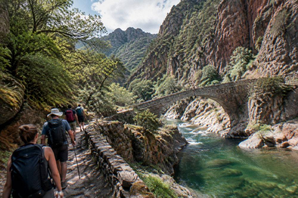
The island's long trails give the active traveller a sense of what surrounds the southeast:
| Trail | Length | Days | Total climb |
|---|---|---|---|
| GR20 (Fra li Monti) | 180 km | about 15 stages of 4 to 8.5 h | not published |
| Mare e Monti Nord | 121 km | 10 | 6,100 m |
| Mare a Mare Nord | 139 km (161 km with variant) | 8 to 12 | 5,900 m |
| Mare a Mare Centre | 84 km | 6 to 7 | 3,900 m |
| Mare a Mare Sud | 73 km | 5 | 3,200 m |
| Mare e Monti Sud | 66 km | 5 | 2,700 m |
Wild camping is banned across Corsica, reported on the GR20 in particular, with bivouac tolerated only in the marked areas at refuges. That rule matters for anyone tempted to turn a pools day into an overnight: the legal sleeping options are the booked refuge system or paid accommodation in the towns.
What Else Should You See In Southern Corsica?
Southern Corsica layers prehistory, clifftop towns and beach days around the Cavu valley: Filitosa's prehistoric site at EUR 9 adults open 1 April to 2 November, the Bonifacio citadel and its 189-step Escalier du Roi d'Aragon, and the southeast's beaches at Palombaggia, Santa Giulia and Rondinara, with the Lavezzi islands offshore from Bonifacio.
The sight list with prices reads cleanly across the south and the day-trip range from it. At Bonifacio, the Escalier du Roi d'Aragon counts 189 steps cut down the cliff, with a fee reported at about EUR 5 and closed-toe flat shoes required, and children receive a small diploma at the top, per the reservation site. The citadels of Bonifacio and Calvi carry no published fee or hours, so this page prints none.
| Sight | Full price | Notes from the facts |
|---|---|---|
| Filitosa, Sollacaro | EUR 9 | Open 1 Apr to 2 Nov, family ticket EUR 28 |
| Escalier du Roi d'Aragon, Bonifacio | about EUR 5 | 189 steps, closed-toe shoes required |
| Musée de la Corse and Citadelle de Corte | EUR 5.50 | One ticket covers museum and citadel |
| Maison Bonaparte, Ajaccio | EUR 10 | Closed Mondays, free for EU residents under 26 |
| Palais Fesch, Ajaccio | EUR 10 | EUR 6 over 65, free up to 18, daily 09:00 to 17:00 |
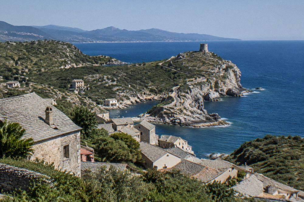
The museum pair in Ajaccio sits within a 2 h 45 drive of the southeast per the Corte road-time table, and the Golfe de Porto with its UNESCO-listed Calanche of Piana, Gulf of Girolata and Scandola Reserve, inscribed in 1983 as property 258, makes the classic west-coast counterpoint to a southeast base. Scandola itself is boat-only: its land area is closed to the public, day anchoring is allowed outside the integral reserve with anchors lifted at sunset, and quotas and licences are being consolidated in a regulatory framework being finalised, with no year attached. Offshore from Bonifacio, the Lavezzi islands complete the southern picture by sea.
For the trip's wider frame, the site's things to do in Corsica roundup holds the full island picture, and the Corsica cost and budget guide sets the money side out in detail.
How Do You Plan A Day Around The Cavu Natural Pools In Corsica?
A day around the Cavu natural pools plans like any Corsican interior day: pick the season from the climate normals rather than a labelled "best month", check the fire-risk map after 18:00 the evening before in high summer, carry 112 and the PGHM line 04 95 24 24 00, and leave the river plans flexible if rain has fallen, since October and November average 85.7 mm and 111.8 mm at Ajaccio. A guided product with cancellation flexibility covers the gear.
The ordering of a day writes itself from the facts. Morning belongs to the interior, before the sun is high and while the mountain light is still workable; the middle of the day can move to the coast, where the southeast's beaches sit within a short drive of the valley mouths; and the evening is the island's own speciality, with sunset trips running from half the ports, from the Sanguinaires at Ajaccio to the cliffs at Bonifacio. Roads are part of the plan: Inforoutes Corse publishes live road conditions and accessibility levels for the main mountain passes, and a check there before any mountain drive is the standing pattern.
Tipping, for the record, follows French law island-wide: menus must state "prix service compris" with the service percentage included, and any extra tip is optional, per the DGCCRF. The currency is the euro.
Common Questions About The Cavu Natural Pools
Where Are The Cavu Natural Pools In Corsica?
They lie in southern Corsica, on the river Cavu, which drains the mountains of the southeast towards the coast near Porto-Vecchio. The nearest named landmarks in the published material are the Aiguilles de Bavella and the Ospedale forest, and Porto-Vecchio is the practical base town.
Can You Swim In The Cavu Natural Pools?
River pools in Corsica are freshwater swimming spots with no lifeguard service, so any swim is unsupervised. The island-wide emergency numbers apply: 112 for all emergencies, 15 for medical, and the PGHM mountain rescue base in Ajaccio on 04 95 24 24 00. Avoid swimming after heavy rain.
When Is The Fire Season In Corsica?
From 15 June to 30 September it is forbidden to light a fire or smoke in forests, maquis and massifs. The prefecture's colour map of massif access updates at 18:00 daily for the next day, and some massifs can close entirely on the highest-risk days between mid-June and mid-September.
Is Wild Camping Allowed Near The Cavu Natural Pools?
No. Wild camping is banned across Corsica, including the GR20, and bivouac is tolerated only in the marked areas at PNRC refuges, where booking is mandatory online and a bivouac pitch costs EUR 12 per person.
Does It Rain A Lot In Southern Corsica?
The Météo-France 1991-2020 normals for Ajaccio total 635.0 mm of rain a year, with July at 8.6 mm and November at 111.8 mm. The Bastia station on the east side totals 816.9 mm, so the island's eastern half takes the wetter end of the pattern.
The Cavu natural pools compress the island into one valley: granite and freshwater in the mountains, the coast an hour away, and a rulebook, from refuge bookings to fire maps, that rewards the traveller who reads it the evening before. Plan around the climate table, respect the summer bans, keep 112 in reach, and the southeast of Corsica does the rest.