Corsica Vs Sicily
Corsica against Sicily and the other Mediterranean islands, measured only on what the destination record confirms: 8,722 km2 of mountainous island with more than 1,000 km of coast, 180 km of GR20, and Météo-France station normals.
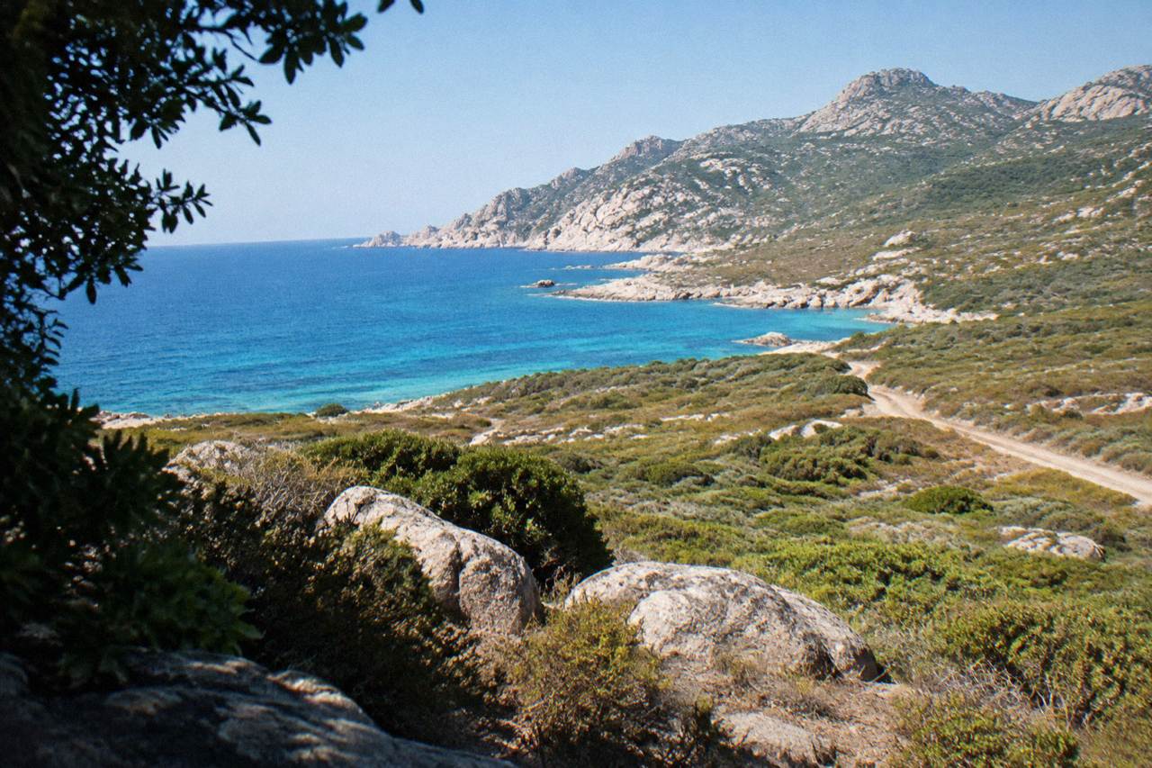
This guide compares it with Sicily, Sardinia and its other neighbours.
Corsica is a French Mediterranean island of 8,722 km2, the fourth-largest island in the Mediterranean, with a mountainous interior that rises to Monte Cinto at 2,706 m and a coastline that runs beyond 1,000 km. Set against Sicily, Sardinia and the other big islands of the same sea, it is the combination that stands out on paper: a single island where a 180 km high-level trail crosses the interior while UNESCO-listed cliffs and boat-only reserves line the shore. This comparison sticks to what the destination record states, island by island and figure by figure, so that the choice between Corsica and its neighbours rests on measurements rather than impressions.
How Big Is Corsica Compared With The Other Mediterranean Islands?
On the one island-size ranking the destination record confirms, Corsica is the fourth-largest island in the Mediterranean, covering 8,722 km2 with 360 communes and a population of 365,636 as of 1 January 2026, per the provisional INSEE estimate. The same record puts the coastline at more than 1,000 km, with about 1,090 km reported when islets and estuaries are excluded.
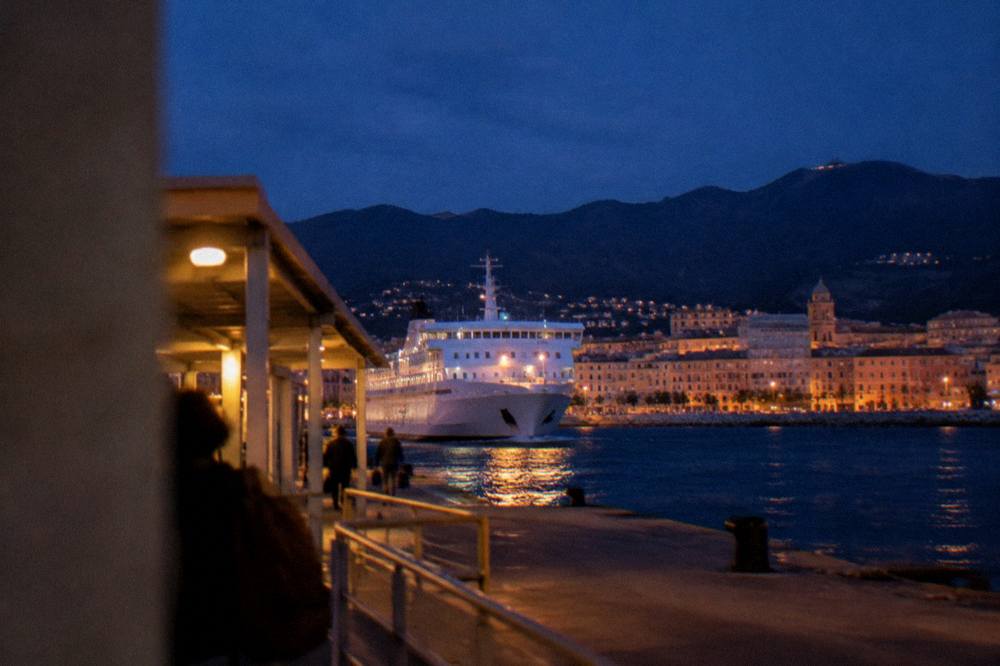
That is the frame for the Corsica side of the size question. The island is administered as the Collectivité de Corse, a single territorial authority with special status reported to have been in place since 1 January 2018, covering the two departments Corse-du-Sud (about 175,100 residents) and Haute-Corse (about 190,500). Ajaccio, the capital and the island's largest town, counts 76,320 residents; Bastia, the second town and the main port for Italian ferries, counts 46,867, with a reported density of 2,418 per km2.
Size alone does not decide the comparison, because Corsica concentrates its 8,722 km2 differently from its neighbours. Monte Cinto at 2,706 m is the highest summit on this island, and the mountainous interior is what gives the place its vertical range, from sea cliffs to high granite. The Parc naturel régional de Corse, created in 1972, now covers 4,484 km2 including the Castagniccia and the big valleys running to the sea, and its western sea front runs 80 km from Capu Rossu to Capu Cavallu. A park of that scale inside a fourth-largest island is the structural fact to weigh against the bigger land masses nearby.
| Corsica identity | Figure |
|---|---|
| Area | 8,722 km2 |
| Ranking | Fourth-largest Mediterranean island |
| Highest summit | Monte Cinto, 2,706 m |
| Coastline | More than 1,000 km |
| Communes | 360 |
| Population (1 Jan 2026) | 365,636 |
| Regional park | PNRC, 4,484 km2, since 1972 |
Corsica Or Sicily: What Does The Landscape Give Each Island?
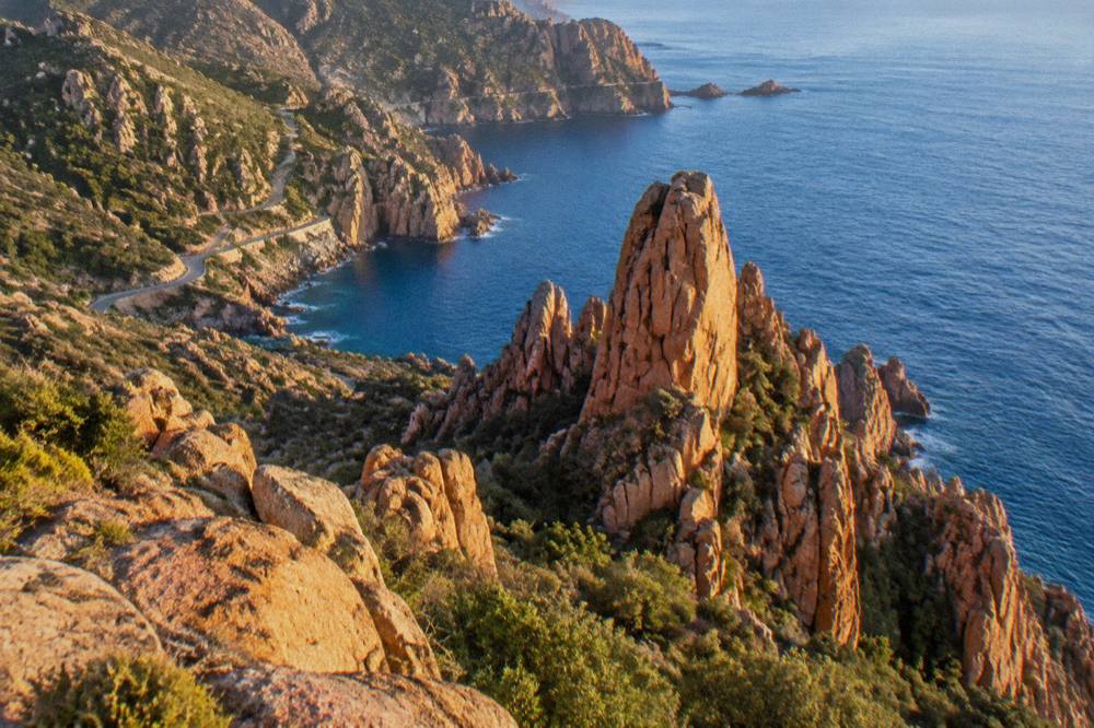
Corsica's landscape record pairs a mountain spine with a sea front on every side: Monte Cinto at 2,706 m, gorges such as the Restonica and Spelunca, the red granite of the Calanques de Piana, and a UNESCO property, Gulf of Porto: Calanche of Piana, Gulf of Girolata, Scandola Reserve, inscribed in 1983 across 11,800 ha. The island's beaches and boat-only reserves are as much the destination as its heights.
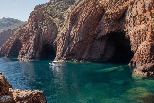
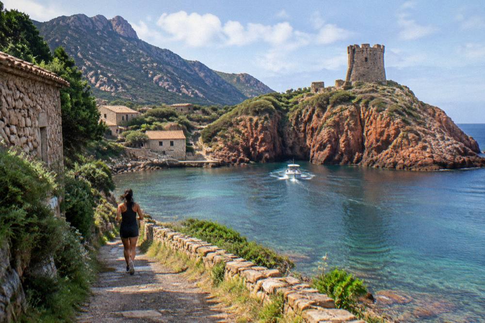
The UNESCO inscription, dossier 258 under natural criteria (vii)(viii)(x), is the strongest single marker on the Corsican side of any landscape comparison. Inside it sits the Scandola Nature Reserve, the first nature reserve created in Corsica by ministerial order of 9 December 1975, with 1,000 ha of sea, 919 ha of land and a 70 ha integral reserve, from 100 m depth to 540 m altitude, managed by the PNRC. Scandola's land area is closed to the public: visits are by boat only, with no landing in the integral reserve, daytime anchoring allowed outside the integral reserve and the Gargalu channel, and anchors up at sunset. The reserve is also credited with saving the osprey in Corsica.
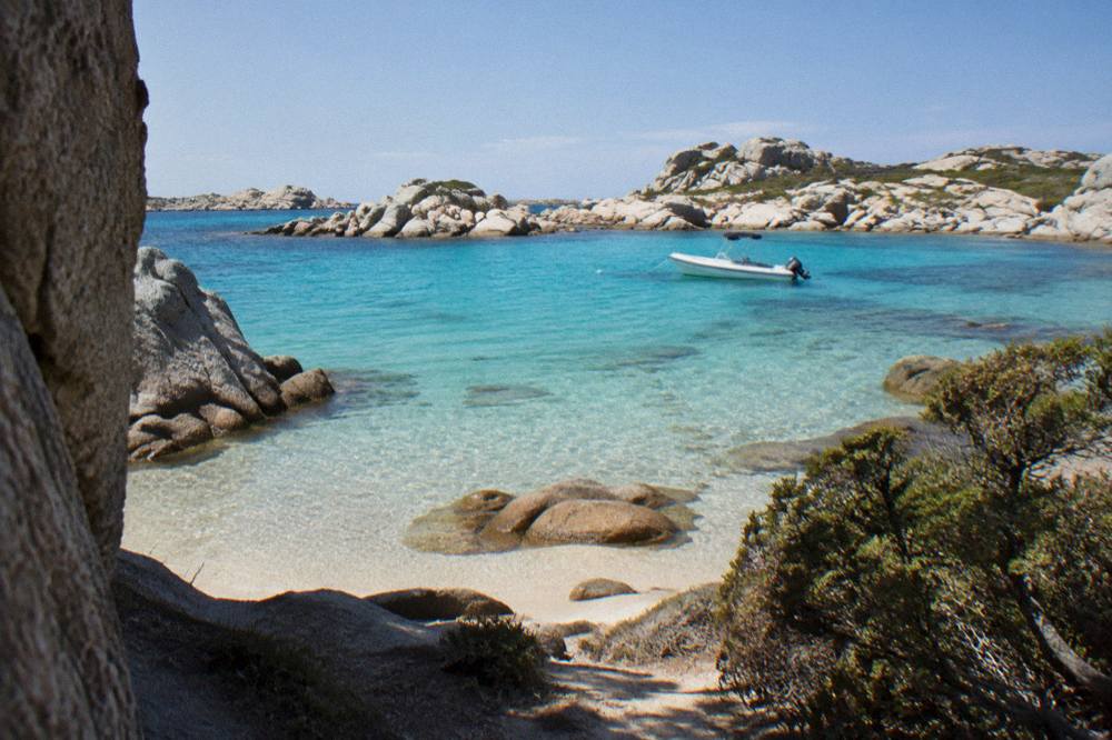
The comparison with Sicily or Sardinia on landscape is therefore a comparison of access. Corsica's signature coastal sights are reached from the water, from the Scandola boat tour circuit out of the Golfe de Porto to the Bonifacio cliffs and the Îles Lavezzi in the Bouches de Bonifacio Nature Reserve. On land, the same island holds the Désert des Agriates, whose beaches Saleccia and Lotu are reached by boat shuttle from Saint-Florent roughly April to October, weather permitting, by 4x4 track from Casta, or on foot. Mountain and beach sit close enough that a single day can carry both, which is the practical argument this record supports.
How Do You Reach Corsica Compared With Its Neighbour Islands?
Corsica is served by four airports and ferry ports including with more than 8.5 million passengers, excluding cruise passengers, passing through its ports and airports in 2025, and the shortest crossings are Livorno to Bastia at about 4 to 5 hours and Santa Teresa Gallura to Bonifacio at about 50 to 60 minutes, the latter linking the island directly to Sardinia.
The airports are Ajaccio Napoléon Bonaparte (AJA), Bastia Poretta (BIA), Figari Sud Corse (FSC) and Calvi Sainte-Catherine (CLY), and the practicalities of each are laid out in the Corsica airports guide. On the sea side, Corsica Linea sails Marseille to L'Île-Rousse, Bastia, Propriano and Ajaccio; La Méridionale sails Marseille to Ajaccio and Marseille to Porto-Vecchio; Moby sails Livorno to Bastia, Genoa to Bastia and Santa Teresa Gallura to Bonifacio; and Corsica Ferries is reported to sail from Toulon and Nice to Ajaccio, Bastia, L'Île-Rousse, Porto-Vecchio and Propriano, and from Livorno and Savona to Bastia. Moby and Ichnusa Lines keep the Santa Teresa Gallura to Bonifacio route under a reported continuation of its public service obligation.
That Sardinia link matters for the island-hopping question, because it makes a two-island trip a ferry ride rather than a flight. The crossing times in the record run from about 50 to 60 minutes on the Sardinia route, through about 4 to 5 hours Livorno to Bastia and about 6.5 hours Savona to Bastia, to about 7.5 to 10 hours Nice to Bastia, about 10 to 13 hours from Toulon and about 12 to 13 hours from Marseille, mostly overnight. The Corsica Sardinia ferry guide covers that link in detail, and the general ferry to Corsica guide handles the mainland routes.
| Ferry crossing to Corsica | Crossing time |
|---|---|
| Santa Teresa Gallura to Bonifacio | About 50 to 60 minutes |
| Livorno to Bastia | About 4 to 5 hours |
| Savona to Bastia | About 6.5 hours |
| Nice to Bastia | About 7.5 to 10 hours |
| Toulon to Corsican ports | About 10 to 13 hours |
| Marseille to Corsican ports | About 12 to 13 hours, mostly overnight |
On the island itself, the Chemins de fer de Corse run Ajaccio to Bastia via Corte, Ponte-Leccia to Calvi, and the Balagne coastal line Calvi to L'Île-Rousse, a rail network few Mediterranean islands of this size retain. Inforoutes Corse publishes live road conditions and accessibility levels for the main mountain passes, which is the tool to check before any drive on the island's narrow mountain roads, as covered in the driving in Corsica guide.
Which Island Suits Long-Distance Hiking: Corsica's Trails By The Numbers?
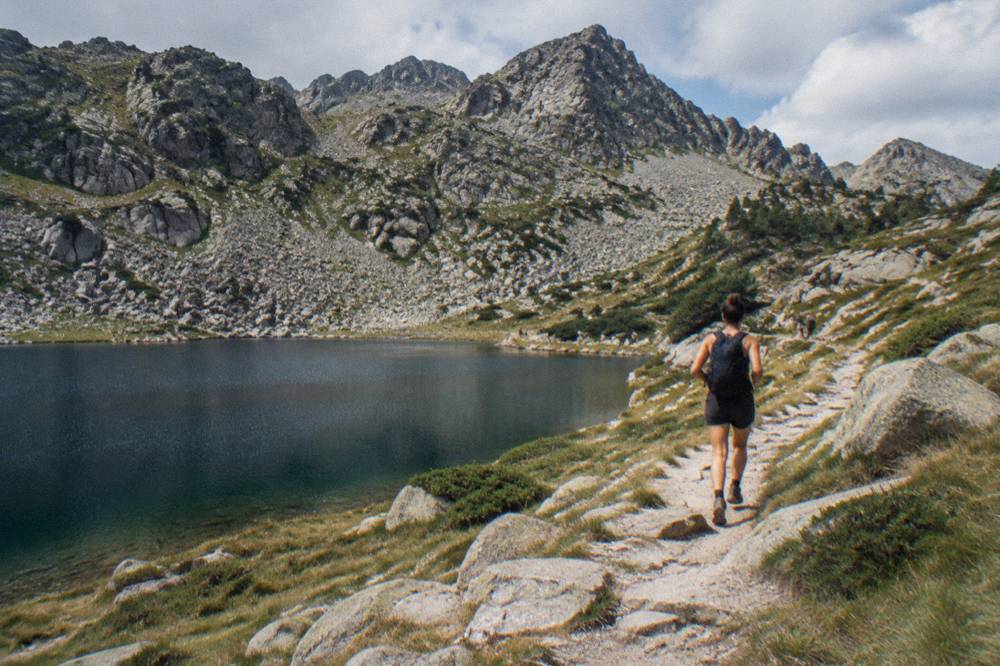
Corsica's hiking record is anchored by the GR20, 180 km north to south in about 15 stages of 4 to 8.5 hours, with PNRC refuges guarded from 16 May to 4 October in the 2026 season and mandatory online booking, and the island adds five waymarked long trails: Mare e Monti Nord 121 km, Mare a Mare Nord 139 km, Mare a Mare Centre 84 km, Mare a Mare Sud 73 km and Mare e Monti Sud 66 km.
Those trail figures are the measurable core of any hiking comparison. The GR20 runs from Calenzana in the north, with stage 1 to Ortu di u Piobbu given at about 6 h 30 out, and no departures from Calenzana after 11:00 under a municipal fire-risk order. Refuge nights in 2026 cost EUR 20 per person for a bunk, EUR 12 for a bivouac pitch, EUR 27 for a rented tent for one and EUR 39 for two; rental tents sleep two and come with a 3 cm mat per person, with your own sleeping bag required, and dogs are not allowed inside refuges or rented tents. Bookings are online only, changes are possible up to 48 hours before a stage subject to availability, and a full refund is possible up to two months before. Wild camping is banned across the island, with bivouac only in the marked areas at refuges, and the old Cirque de la Solitude section has been off the GR20 since a fatal rockfall in 2015, replaced by a variant. The Corsica GR20 guide carries the full planning detail.
| PNRC long trail | Length | Stages or days | Total climb |
|---|---|---|---|
| GR20 (Fra li Monti) | 180 km | About 15 stages | Not stated in the record |
| Mare e Monti Nord | 121 km | 10 days | 6,100 m |
| Mare a Mare Nord | 139 km (161 km with variant) | 8 to 12 days | 5,900 m |
| Mare a Mare Centre | 84 km | 6 to 7 days | 3,900 m |
| Mare a Mare Sud | 73 km | 5 days | 3,200 m |
| Mare e Monti Sud | 66 km | 5 days | 2,700 m |
| GR20 refuge option, 2026 season | Rate per person |
|---|---|
| Bunk in a guarded refuge | EUR 20 |
| Bivouac pitch, own tent | EUR 12 |
| Rented tent for 1 (pitch and tent) | EUR 27 |
| Rented tent for 2 (two pitches and tent) | EUR 39 |
Fire rules shape the summer hiking calendar from 15 June to 30 September, when lighting a fire or smoking in forests, maquis and massifs is forbidden, the fire-risk map is updated at 18:00 for the next day, and access to some massifs can be restricted from mid-June to mid-September. The UK FCDO notes a high risk of wildfires in France from April to October, and the US State Department lists France at Level 2, Exercise Increased Caution. For walkers weighing one island against another, these are the Corsican numbers to set on the table.
What Do Corsica's Climate Normals Show Next To Its Neighbours?
The Météo-France station normals for 1991-2020 give Ajaccio a July average daily high of 28.6 °C with 8.6 mm of rain and 12 h 6 min of sunshine a day, against 14.0 °C and 54.1 mm in January, and Bastia 29.4 °C and 13.8 mm in July against 13.8 °C and 67.3 mm in January: a hot dry summer and a mild wet winter, with snow only on the high mountains.
October and November carry the most rain at both stations, with Ajaccio at 85.7 mm and 111.8 mm and Bastia at 126.5 mm and 134.3 mm, and August carries the highest mean daily highs, 29.2 °C at Ajaccio and 29.8 °C at Bastia. The full month tables below are the planning grid for timing a visit, and the month-by-month breakdown in the Corsica weather guide expands on them. For swimmers, the supervised season runs with 7 lifeguard posts on Ajaccio's main beaches from 1 July to the end of August, and Haute-Corse beaches are reported to be staffed by volunteer firefighters from about 1 July to 31 August.
| Month | Ajaccio high °C | Ajaccio low °C | Ajaccio rain mm | Ajaccio sunshine h/day |
|---|---|---|---|---|
| Jan | 14.0 | 4.7 | 54.1 | 4.4 |
| Feb | 14.2 | 4.3 | 48.1 | 5.5 |
| Mar | 16.0 | 5.9 | 50.4 | 6.8 |
| Apr | 18.5 | 8.3 | 53.1 | 7.7 |
| May | 22.1 | 11.8 | 49.8 | 9.3 |
| Jun | 25.9 | 15.4 | 25.9 | 11.1 |
| Jul | 28.6 | 17.7 | 8.6 | 12.1 |
| Aug | 29.2 | 18.1 | 15.8 | 11.1 |
| Sep | 26.1 | 15.4 | 57.8 | 8.7 |
| Oct | 22.8 | 12.6 | 85.7 | 6.7 |
| Nov | 18.3 | 9.0 | 111.8 | 4.7 |
| Dec | 15.1 | 5.8 | 73.9 | 4.0 |
| Month | Bastia high °C | Bastia low °C | Bastia rain mm | Bastia sunshine h/day |
|---|---|---|---|---|
| Jan | 13.8 | 5.4 | 67.3 | 4.5 |
| Feb | 13.9 | 5.1 | 63.5 | 5.5 |
| Mar | 15.8 | 6.8 | 63.7 | 6.3 |
| Apr | 18.3 | 9.1 | 71.6 | 7.3 |
| May | 22.4 | 12.6 | 53.7 | 8.7 |
| Jun | 26.4 | 16.5 | 38.8 | 10.2 |
| Jul | 29.4 | 19.4 | 13.8 | 11.2 |
| Aug | 29.8 | 19.8 | 21.1 | 10.1 |
| Sep | 26.0 | 16.7 | 74.5 | 7.9 |
| Oct | 22.0 | 13.4 | 126.5 | 5.9 |
| Nov | 17.7 | 9.5 | 134.3 | 4.5 |
| Dec | 14.8 | 6.4 | 88.1 | 4.5 |
What Does Corsica's Food Record Add To The Comparison?
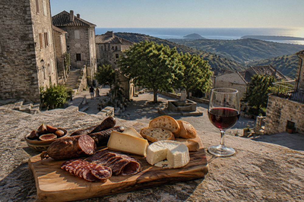
Corsica's table is documented through its appellations: brocciu obtained its appellation d'origine in 1983 with AOC status in 1998, the charcuterie cuts prisuttu, lonzu and coppa took AOC in 2012 and AOP in 2014, chestnut flour carries the AOP Farina castagnina corsa, olive oil the AOC Oliu di Corsica effective 2004, honey the AOP Mele di Corsica, and the clémentine de Corse the IGP since 2007.
Those labels, recorded in Collectivité and tourism documentation, are the verifiable substance of the island's food identity. The Nustrale pig breed behind the charcuterie was recognised in 2006, Corsican honey took its AOC in 1998, and about 98% of metropolitan France's citrus area sits in Corsica on 2014-era data. Wine appellations include Patrimonio, Ajaccio, Vin de Corse with its named crus Calvi, Coteaux du Cap Corse, Figari, Porto-Vecchio and Sartène, and Muscat du Cap Corse, on main grapes Nielluccio and Sciaccarellu for red and Vermentinu for white. Tasting this on the island, rather than reading about it, is the point of the Corsica food and wine tour pages, and menus state "prix service compris" by law, with any extra tip optional.
| Corsican product | Label status | Year in the record |
|---|---|---|
| Brocciu | Appellation d'origine, then AOC | 1983, 1998 |
| Prisuttu, lonzu, coppa | AOC, then AOP | 2012, 2014 |
| Chestnut flour (Farina castagnina corsa) | AOP | Recognised 2010 |
| Olive oil (Oliu di Corsica) | AOC | Effective 2004 |
| Honey (Mele di Corsica) | AOC, then AOP | 1998 |
| Clémentine de Corse | IGP | 2007 |
Corsica, Sicily, Sardinia: Which Island Fits Your Trip Style?
The record supports a clear split: choose Corsica for a single island that combines a 180 km high mountain trail, a boat-only UNESCO reserve, more than 1,000 km of coast and a 50-minute ferry link to Sardinia, with four airports of its own and a resident population of 365,636 across 8,722 km2.
For the hiker, the trail table above is the argument: no other fact in this file matches 180 km of GR20 plus five further waymarked long trails on one fourth-largest island. For the swimmer and the sailor, the record gives Scandola's boat-only access, the Bouches de Bonifacio reserve around the Îles Lavezzi, the Désert des Agriates beaches reached by shuttle from Saint-Florent, and lifeguard posts on the main beaches through July and August, with the Corsica beaches guide holding the shore-side detail. For the island hopper, the Santa Teresa Gallura to Bonifacio crossing at about 50 to 60 minutes turns a Corsica-and-Sardinia trip into a short sail, covered in the Corsica vs Sardinia pages and the Sardinia day-trip options out of Bonifacio.
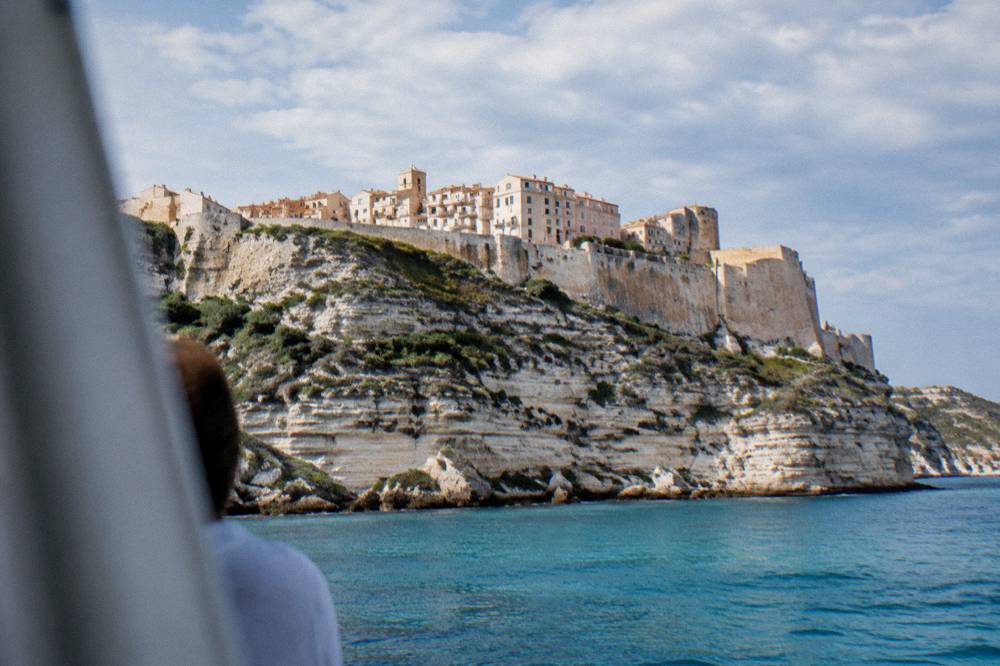
Culture sits on the record too. Ajaccio holds Maison Bonaparte, open every day except Monday at EUR 10 full price, free for EU residents under 26, and the Palais Fesch at EUR 10 full, EUR 6 over 65, free up to 18, daily 09:00 to 17:00. Corte's Musée de la Corse and citadel share one ticket at EUR 5.50 full, and the prehistoric site of Filitosa, open 1 April to 2 November, charges EUR 9 adults with a family ticket at EUR 28. Bonifacio's Escalier du Roi d'Aragon counts 189 steps cut down the cliff, at about EUR 5 reported. None of these figures travels to another island; they are the Corsican entries in the ledger.
What Does A Corsica Vs Sicily Trip Cost To Plan?
On the Corsican ledger, sight entry runs from EUR 5.50 at the Musée de la Corse to EUR 10 at Maison Bonaparte and the Palais Fesch, a GR20 refuge bunk costs EUR 20 a night and a bivouac pitch EUR 12, and bookable tours and boat days render their prices at the point of booking rather than in fixed print, so the island's floor costs are known while its activity costs are live.
That distinction matters when budgeting against another island. The fixed local costs above are euro figures from the destination's own institutions, and they stack into a predictable base for museums, prehistoric sites and trail nights. The Corsica cost and budget guide works the numbers through, and the where to stay in Corsica guide covers the bases from Ajaccio to the Balagne.
A worked example of the live-price side: the Sagone and Cargèse boat tour that covers Piana, Scandola and Girolata with a swim stop and a Girolata stop in a small group, a flagship Corsican sea day, with Check availability showing the current rate. On the fixed side, Filitosa at EUR 9 and the Cortese museum-citadel ticket at EUR 5.50 anchor a cheap culture day. Emergency planning costs nothing to know: 112 for the EU-wide number, 15 medical, 17 police, 18 fire, 114 by SMS or app, and 196 for sea rescue on VHF channel 16, with PGHM Ajaccio on 04 95 24 24 00 for mountain rescue.
Should You Combine Corsica With Sicily Or Sardinia On One Trip?
The link runs to Sardinia, not Sicily: Moby and Ichnusa Lines sail Santa Teresa Gallura to Bonifacio in about 50 to 60 minutes under a continued public service obligation, which makes a Corsica-and-Sardinia itinerary a single short crossing, with no direct Corsica to Sicily ferry route.
That single fact shapes island-hopping plans. A two-island trip using the Bonifacio strait keeps everything inside one ferry booking pattern, with Bonifacio on the Corsican side and Santa Teresa Gallura on the Sardinian side, and the crossing times above apply to every other route back to the mainland. Reaching Sicily from Corsica means routing through the mainland, in practice a Marseille or Toulon crossing combined with onward travel, so the file's transport figures support Sardinia pairing and mainland loops rather than a direct Sicily hop.
Inside a combined trip, the Corsican highlights that survive any itinerary squeeze are the boat-only Scandola reserve out of the Golfe de Porto, the Bonifacio cliffs and Îles Lavezzi in the far south, the Calanques de Piana, and, for a day of interior contrast, Corte and its citadel museum, reached by road in about 1 h from Bastia, 1 h 30 from Ajaccio or Calvi, 2 h from Porto-Vecchio and 2 h 45 from Bonifacio or Propriano. Those road times come from the museum's own practical page and are the only interior drive figures the record licenses.
Common Questions About Corsica Vs Sicily And Other Islands
Is Corsica Bigger Than Sicily?
The destination record places Corsica as the fourth-largest island in the Mediterranean, at 8,722 km2, and this file carries no size figure for Sicily, so the comparison here rests on Corsica's measurements rather than a cross-island table.
Which Is Better For Hiking, Corsica Or Sicily?
On Corsica's side of the ledger the record is precise: the GR20 runs 180 km north to south in about 15 stages of 4 to 8.5 hours, with guarded PNRC refuges and mandatory online booking, plus five further waymarked long trails from 66 to 139 km. The hiking in Corsica guide has the detail.
Can You Visit Corsica And Sardinia On One Trip?
Yes, and the link is short: Moby and Ichnusa Lines sail Santa Teresa Gallura to Bonifacio in about 50 to 60 minutes, a route reported as retained under a continuing public service obligation.
Is There A Ferry From Corsica To Sicily?
The transport record for this site holds no direct Corsica to Sicily route. Ferries to Corsica run from Marseille, Toulon, Nice, Livorno, Savona, Genoa and Santa Teresa Gallura in Sardinia.
Does Corsica Have Beaches As Well As Mountains?
It has both, by measurement: more than 1,000 km of coastline with beaches from Palombaggia to Saleccia, and an interior rising to Monte Cinto at 2,706 m, inside a regional park of 4,484 km2.
When Is The Best Time To Visit Corsica?
No single month is named as a fact. The Météo-France 1991-2020 normals show Ajaccio averaging 28.6 °C and 8.6 mm of rain in July against 14.0 °C and 54.1 mm in January, with November at 111.8 mm, and the best time to visit Corsica guide weighs the seasons month by month.
The comparison, on the numbers this record licenses, comes down to what kind of island a trip needs. Corsica is a fourth-ranking Mediterranean island by area that behaves like a much bigger one vertically, with a 2,706 m summit, a UNESCO sea property reachable only by boat, a 180 km mountain trail and a 50-minute link to Sardinia, all inside 8,722 km2. Sicily and the other neighbours each answer the question differently, but for a single island that holds mountain trail, boat-only reserve and ferry-hop beach in one week, the Corsican file is the one that shows all three on the same page. More planning material sits on the Corsica Travel Guide homepage, from the Corsica map guide to the Corsica travel tips guide.