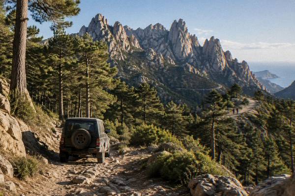
Gr20
The GR20 crosses Corsica from north to south over 180 km in about 15 stages, with guarded PNRC refuges from 16 May to 4 October and mandatory online booking.
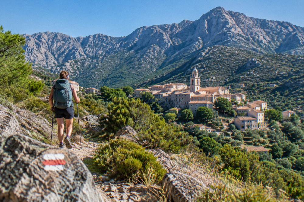
The GR20 is Corsica's 180 km north-south mountain trail, walked in about 15 stages of 4 to 8.5 hours. Refuge nights cost EUR 20 per bunk and must be booked online for the 16 May to 4 October season.
The GR20, also called Fra li Monti, is the long-distance trail that runs the length of Corsica's mountainous interior, from Calenzana in the north to the far south, 180 km in total. The Corsican Assembly's own hiking text describes it as about fifteen stages of 4 to 8.5 hours each, crossing the high granite interior of an island that is otherwise all sea: more than 1,000 km of coastline ring the 8,722 km2 landmass, and Monte Cinto, at 2,706 m, is the roof of the whole trail's world. This page gathers what the Parc naturel régional de Corse (PNRC) and the Corsican Assembly publish about the route: the season dates, the 2026 refuge prices, the booking system, the fire rules and the gentler long-distance alternatives for walkers who want something shorter. For the wider picture of trails on the island, see the companion guide to hiking trails across Corsica.
What Is The GR20 In Corsica?
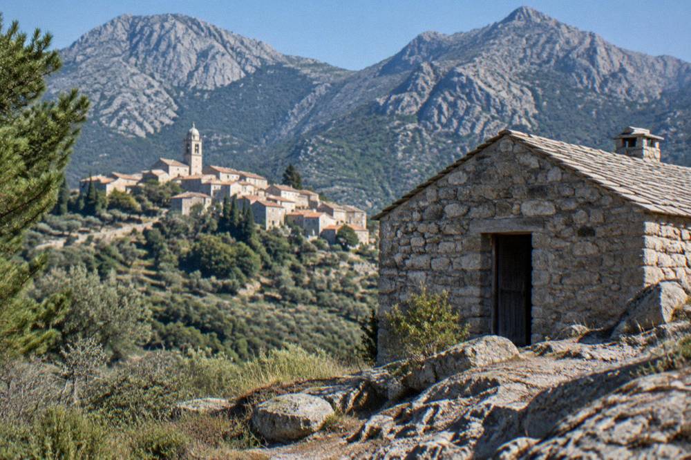
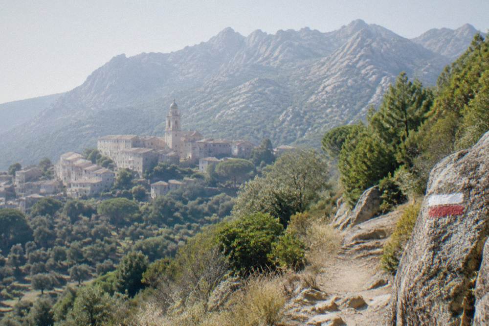
The GR20, or Fra li Monti, is a 180 km waymarked footpath that crosses Corsica from north to south through the island's mountainous interior, walked in about 15 stages of 4 to 8.5 hours each. The PNRC, which manages the trail and its refuges, guards those refuges from 16 May to 4 October, and the northern start point is Calenzana, above Calvi in the Balagne.
The Corsican Assembly's session document on the trail gives the two figures that anchor everything else: 180 km end to end, and "une quinzaine d'étapes", about fifteen stages, each taking between 4 and 8.5 hours of walking. Those hours are walking hours, not elapsed hours, and they assume a walker moving steadily on mountain ground. The trail sits inside the Parc naturel régional de Corse, created in 1972, which today covers 4,484 km2 including the Castagniccia and the big valleys that run down to the sea.
Stage 1 runs from Calenzana to Ortu di u Piobbu, about 6 h 30 out. The same page carries the Calenzana municipal order detail that surprises many walkers: no GR20 departures from Calenzana after 11:00, a fire-risk measure for the first, exposed climb. That order alone shapes how the opening day is planned, because it fixes the latest start time of the whole fortnight before you have even laced your boots.
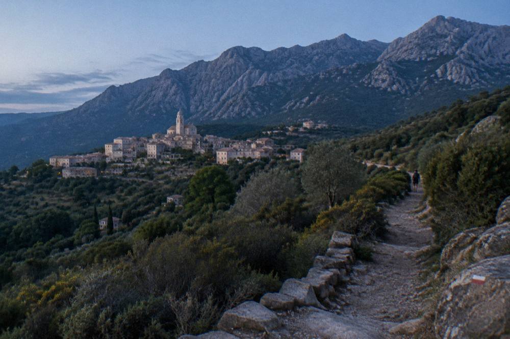
The trail's character is a direct product of Corsican geography. The island is the fourth-largest in the Mediterranean, with a mountain chain running its spine and topping out at Monte Cinto. Everything on the GR20 is inland: the beaches, ports and boat trips that define the coast, from the Îles Sanguinaires to the Désert des Agriates, belong to a different Corsica a long way below the ridge line.
How Long Does The GR20 Take, And How Hard Is It?
A full GR20 crossing of Corsica takes about 15 walking days, one stage per day, at between 4 and 8.5 hours of walking each, so a realistic door-to-door trip must also allow for travel and weather days. The Assembly document gives no elevation-gain figure for the whole route, so plan on stage time, not kilometres, because 180 km spread over granite is nothing like 180 km of valley path.
The honest way to size the trail is stage by stage. The PNRC page prints stage 1 (Calenzana to Ortu di u Piobbu, about 6 h 30) and the overall band of 4 to 8.5 hours per stage. Walkers who average the top of that band will be out for most of the daylight in summer, and the Météo-France station normals for Ajaccio give 12 h 6 min of sunshine per day in July, the month with the most sun in the table.
Difficulty also comes from the rules that frame the walk rather than the ground itself. Nights in PNRC refuges must be booked online in advance, for bunks and bivouac pitches alike, and quotas apply per refuge. Wild camping is banned across Corsica, including on the GR20, so the refuge network is not an option you can skip: it is the only legal way to sleep on the trail. The deeper questions of difficulty and solitude are covered in the answers page is the GR20 hard, and the timing question in how long does the GR20 take.
One section of the old route is permanently gone. The Cirque de la Solitude, the steep gorge staircase between the high refuges, has been off the GR20 since a fatal rockfall in 2015, and an official variant now replaces it. Any route description predating that change no longer matches the ground.
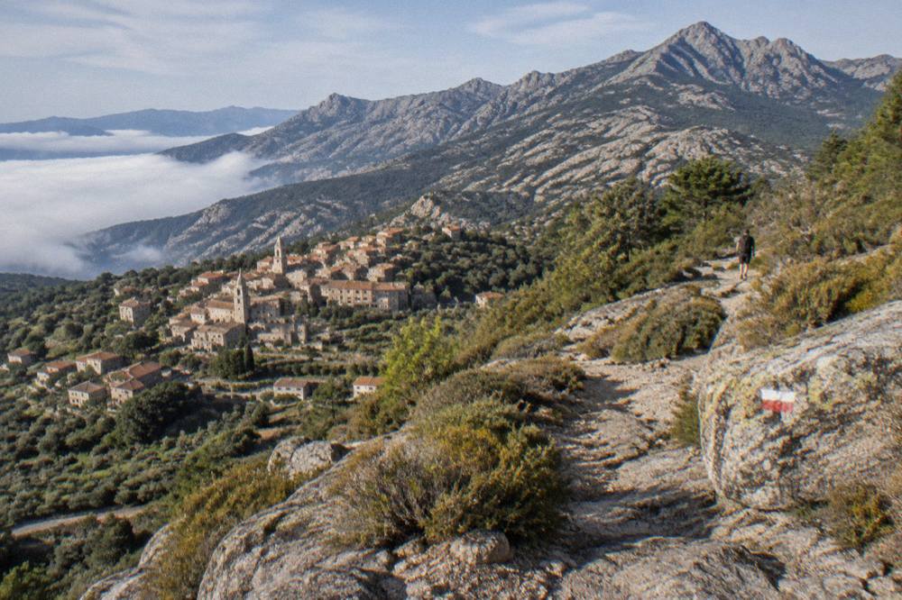
When Is The Best Time To Hike The GR20 In Corsica?
The GR20 season, as the PNRC defines it, runs from 16 May to 4 October inclusive, the window in which the trail's refuges are guarded and bookable. June and September sit inside that window with Météo-France averages of 25.9 °C and 26.1 °C daytime highs at Ajaccio and 25.9 mm and 57.8 mm of monthly rain respectively, while July and August bring 28.6 °C and 29.2 °C highs with the least rain on the table.
The refuge season is the real constraint, not the weather. Outside 16 May to 4 October the refuges are unguarded and the booking system does not apply, which in practice redefines the walk. Inside it, the fire-risk regime runs in parallel: from 15 June to 30 September it is forbidden to light a fire or smoke in forests, maquis and massifs, and the daily colour map of massif access is updated at 18:00 for the following day. From mid-June to mid-September access to some massifs can be restricted outright on the worst days, and the marked massifs can close completely.
The Météo-France station normals for Ajaccio (Campo dell'Oro, 1991-2020) show the shape of the year a GR20 walker steps into. Snow belongs to the high mountains only, and in winter it is a real presence up there; the trail's own season avoids it.
| Month | Ajaccio high °C | Ajaccio low °C | Rain mm | Sunshine h/day |
|---|---|---|---|---|
| Jan | 14.0 | 4.7 | 54.1 | 4.4 |
| Feb | 14.2 | 4.3 | 48.1 | 5.5 |
| Mar | 16.0 | 5.9 | 50.4 | 6.8 |
| Apr | 18.5 | 8.3 | 53.1 | 7.7 |
| May | 22.1 | 11.8 | 49.8 | 9.3 |
| Jun | 25.9 | 15.4 | 25.9 | 11.1 |
| Jul | 28.6 | 17.7 | 8.6 | 12.1 |
| Aug | 29.2 | 18.1 | 15.8 | 11.1 |
| Sep | 26.1 | 15.4 | 57.8 | 8.7 |
| Oct | 22.8 | 12.6 | 85.7 | 6.7 |
| Nov | 18.3 | 9.0 | 111.8 | 4.7 |
| Dec | 15.1 | 5.8 | 73.9 | 4.0 |
Bastia, on the north-east coast nearest the northern trailhead side of the island, runs slightly warmer nights and carries more rain in the wet months: October averages 126.5 mm there and November 134.3 mm, against 85.7 mm and 111.8 mm at Ajaccio. The shoulder months either side of the refuge season are therefore wetter the later or earlier you go, which matters for river crossings and for the variant paths around the old Cirque de la Solitude. The full month-by-month picture, including the sea-level coast, is in Corsica weather by month, and the timing trade-offs are argued out in the best time to do the GR20.
How Do You Book GR20 Refuges, And What Do They Cost?
Nights in PNRC refuges on the GR20 must be booked online in advance for every option, bunk or bivouac, at 2026 rates of EUR 20 per person for a bunk, EUR 12 per person for a bivouac pitch with your own tent, EUR 27 for a rented tent for one and EUR 39 for a rented tent for two. The system allows changes up to 48 hours before the stage, and a full refund is possible up to two months ahead.
The PNRC runs reservations through its secure online platform with card payment, and a confirmation email serves as the receipt. Quotas apply per refuge, which is why booking early in the year matters for July and August stage plans. The nature of the booked option cannot be changed afterwards, only the dates, subject to availability. FFRandonnée announced the opening of 2026 reservations, which is the signal each spring that the booking window is live.
The 2026 price sheet from the PNRC, in full:
| Option | 2026 price per person |
|---|---|
| Bunk in a refuge (bat-flanc) | EUR 20 |
| Bivouac pitch, own tent | EUR 12 |
| Rented tent for 1 (pitch + tent) | EUR 27 |
| Rented tent for 2 (2 pitches + tent) | EUR 39 |
Two practical details from the PNRC page complete the picture. All rental tents sleep two and come with a 3 cm mat per person, and you bring your own sleeping bag in every case. Meals at the refuges are paid on site, in cash or by cheque, to the guardian; they are separate from the online booking. And dogs are not allowed inside refuges or rented tents, which rules the trail out for anyone travelling with a dog.
Bivouac is tolerated only in the designated areas beside the refuges, and it must be reserved per person like a bunk. Wild camping is banned across the whole island, under municipal orders, so there is no legal unbooked night anywhere on the route. The booking mechanics have their own answers page at do you need to book GR20 refuges.
What Are The Rules On The GR20 In Corsica?
The GR20's standing rules are: no departures from Calenzana after 11:00, no fires or smoking in forests, maquis and massifs from 15 June to 30 September, no wild camping anywhere in Corsica, no dogs in refuges or rented tents, and mandatory online booking for every refuge night between 16 May and 4 October. The daily fire-risk map is republished at 18:00 each day for the next day.
The fire regime deserves the most respect, because it can close the mountains outright. The UK FCDO notes a high risk of wildfires in France from April to October, and the Corsican implementation is concrete: the prefecture-linked colour map governs access to the massifs, and on the most severe days some massifs are closed to the public entirely by prefectural order, with access, circulation and parking banned on trails and tracks in the affected zones. A GR20 walker in high summer should be checking that map every evening alongside the weather forecast, because the map, not the sky, decides whether tomorrow's stage is legal. More of these guides are collected on Corsica Travel Guide.
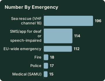
Emergency numbers are fixed and worth carrying in print. Mountain rescue reaches the PGHM base at Ajaccio on 04 95 24 24 00; in an emergency the short numbers are 112 (the EU standard), 17 (police) and 18 (fire), with 15 for medical, 114 by SMS or app, and 196 for sea rescue, monitored on VHF channel 16 at sea. On the ridge, 112 is the one that works from a phone with any signal.
| Emergency | Number |
|---|---|
| EU-wide emergency | 112 |
| Medical (SAMU) | 15 |
| Police | 17 |
| Fire | 18 |
| SMS/app for deaf or speech-impaired users | 114 |
| Sea rescue (VHF channel 16) | 196 |
| PGHM mountain rescue, Ajaccio base | 04 95 24 24 00 |
The safety picture for solo walkers, including the question of alone versus grouped, is treated separately in is it safe to hike the GR20 alone, and the island-wide view including the coast is in the Corsica safety guide via the general safety pages of the site's coverage, alongside the practical roundup in Corsica travel tips.
What Should You Pack For The GR20 In Corsica?
Pack for a 15-stage mountain crossing with a sleeping bag (mandatory, since rental tents supply only a 3 cm mat), cash or cheques for refuge meals, a printed copy of your booking confirmations, full sun protection for days that average 11 to 12 hours of sunshine in July, and warm layers for nights that average 17.7 °C at Ajaccio in July but fall to 4.3 °C on February nights inland.
The packing list falls straight out of the published rules. Because every night is booked, your confirmation emails are your receipts, and the PNRC notes them as such. Because meals are paid on site in cash or cheque to the guardian, the trail runs on paper money above a certain altitude. Because the rented tents provide only mats, the sleeping bag is yours to carry the whole 180 km. Because dogs are barred, leave the dog at home.
The seasonal facts do the rest of the work. July at Ajaccio averages 8.6 mm of rain across the whole month, so rain gear is a safety item rather than a daily one, but September jumps to 57.8 mm and a September walker will use it. Sunshine averages 12.1 hours per day in July at Ajaccio, and the trail is above the station altitude for most of its length, which makes a hat, sunscreen and a serious water capacity non-negotiable on the long stages between refuges.
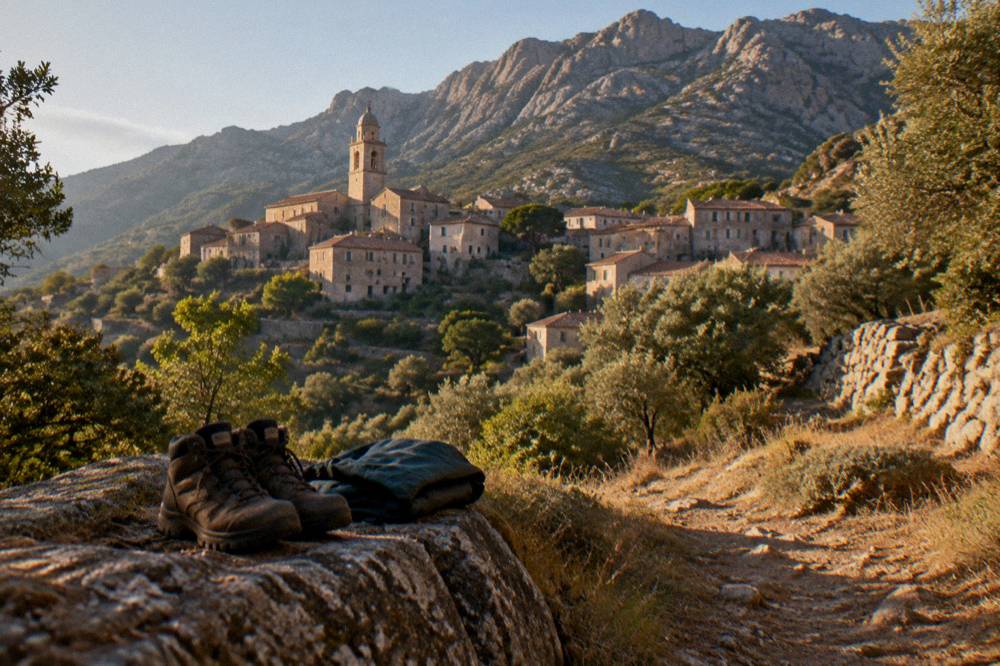
Footwear is the one gear decision the sources touch indirectly: stage times of up to 8.5 hours on granite mean boots or stiff trail shoes built for rock. Weight matters more than on any ordinary long-distance path, because the vertical range between valley and col repeats every stage, and the refuge system means you never carry a tent unless you choose the EUR 12 bivouac option, in which case you carry it every day.
How Do You Get To The GR20 Start In Corsica?
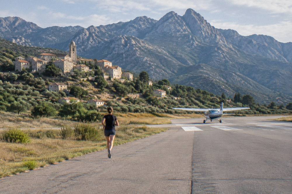
The GR20 starts at Calenzana, reached from Calvi in the Balagne, and Corsica's four airports, Ajaccio Napoléon Bonaparte (AJA), Bastia Poretta (BIA), Figari Sud Corse (FSC) and Calvi Sainte-Catherine (CLY), plus ferry ports including give plenty of gateways; the Calvi airport is the closest to the northern trailhead, and the southern end connects onward through Porto-Vecchio and Bonifacio country.
For a north-to-south crossing, the practical gateways are Calvi or Bastia. Calvi Sainte-Catherine serves the Balagne directly, and Calenzana sits above Calvi; Bastia Poretta is the larger arrival hub on the same north coast. The airport details, including transport to town, are covered in the site's pages on Corsica's airports, on Calvi airport planning via the general airport coverage, and specifically on Ajaccio airport and Bastia airport for walkers combining ends of the island.
Ferry arrivals work just as well. Corsica Linea sails Marseille to L'Île-Rousse, Bastia, Propriano and Ajaccio; La Méridionale sails Marseille to Ajaccio and Porto-Vecchio; Moby sails Livorno to Bastia, Genoa to Bastia and Santa Teresa Gallura to Bonifacio; Corsica Ferries sails from Toulon and Nice to the main ports and from Livorno and Savona to Bastia. L'Île-Rousse and Bastia are the useful ones for the northern start. The full route picture is in the ferry to Corsica guide, with the specific crossings from the Riviera and from Sardinia in Nice to Corsica by ferry and the Corsica Sardinia ferry.
Getting around once landed, including the island's train lines and the case for a hire car to reach trailheads like Calenzana, is set out in getting around Corsica, driving in Corsica and Corsica car rental. One rule to plan the first morning around, again: the municipal order bars GR20 departures from Calenzana after 11:00, so the first day starts early by law, not by preference.
What Are The Alternatives If The Full GR20 Is Too Much?
Corsica's PNRC brochures list five other waymarked long trails: Mare e Monti Nord at 121 km over 10 days, Mare a Mare Nord at 139 km over 8 to 12 days, Mare a Mare Centre at 84 km over 7 days, Mare a Mare Sud at 73 km over 5 days and Mare e Monti Sud at 66 km over 5 days, all shorter, lower commitments than the GR20's 180 km and about 15 stages.
The Mare a Mare family crosses the island east to west, and the Mare e Monti family runs along the coast-to-coast diagonal, all on PNRC-marked ground with published distances, durations and total climbing.
| Trail | Distance | Duration | Total climbing | End point |
|---|---|---|---|---|
| GR20 (Fra li Monti) | 180 km | about 15 stages | not published by PNRC | Conca (south) |
| Mare e Monti Nord | 121 km | 10 days | 6,100 m | Cargèse |
| Mare a Mare Nord | 139 km (161 km with variant) | 8 to 12 days | 5,900 m | Calvi side |
| Mare a Mare Centre | 84 km | 7 days (Ghisonaccia to Porticcio) | 3,900 m | Porticcio |
| Mare a Mare Sud | 73 km | 5 days | 3,200 m | Propriano |
| Mare e Monti Sud | 66 km | 5 days | 2,700 m | Propriano |
One correction matters here, because it circulates widely in the wrong form: Mare a Mare Centre is 84 km, Ghisonaccia to Porticcio, per the PNRC brochure. The same brochure is the source for every figure in the table above.
For a week that mixes a taste of the mountains with the coast, the middle of the island also lends itself to day trips out of Corte, the old capital inland, and to the Aiguilles de Bavella in the far south, which the GR20 itself passes near its southern end. A rest-week plan built on Ajaccio can also swap boots for pedals: the self-guided e-bike ride to Capo di Feno and the Îles Sanguinaires covers the coast west of Ajaccio at a very different effort level, and Check availability if that balance suits your group better than a second week of granite.
Where Should You Stay Before And After The GR20 In Corsica?
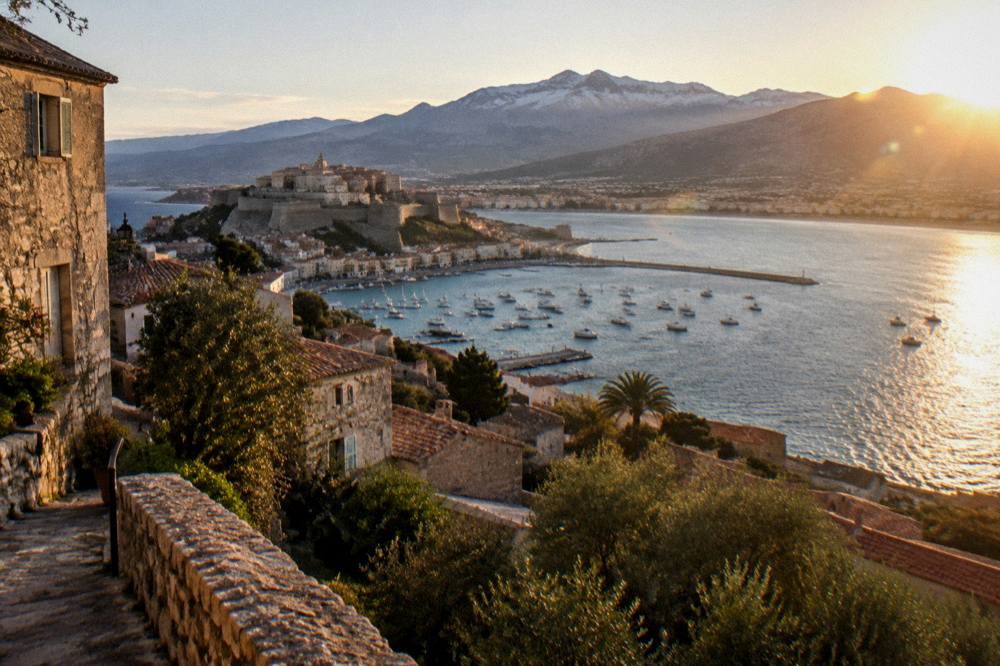
Most GR20 walkers sleep in Calvi or Calenzana's area the night before the 11:00 departure deadline, and finish in the far south with a night around Porto-Vecchio or Bonifacio before travelling on; the island's accommodation runs from campgrounds to villas and luxury hotels, and the booking-heavy refuge system means the bookends of the trip are the only hotel nights you control freely.
Because every night on the trail itself is reserved through the PNRC platform, the accommodation decisions that stay flexible are the ones either side. The site's where to stay in Corsica guide covers the bases region by region, with the luxury hotels in Corsica page for a recovery splurge at the end and the Corsica villas and vacation rentals page for groups who want one base with a walker or two dipping out for stages. Campers have a dedicated page on camping in Corsica, which is a different thing entirely from bivouac on the trail, since the designated refuge pitches are the only legal overnight spots on the route itself.
Recovery days are worth planning as deliberately as the stages. After two weeks above the treeline, the coast is close at both ends: the beaches of the Balagne near the start and the great strands of Palombaggia and Santa Giulia near the finish are covered in the Corsica beaches guide. And for anyone whose appetite for the island's interior has been whetted rather than sated, the overview of Corsica's regions and the classic itineraries in Corsica in two weeks show how a GR20 fortnight and a sightseeing fortnight can share one trip plan.
Common Questions About The GR20 In Corsica
How Long Does The GR20 Take?
About 15 stages of 4 to 8.5 walking hours each, over 180 km, per the Corsican Assembly's description of the trail. Most trip plans run door to door with travel and spare weather days included.
Is The GR20 Hard?
The stage times, 4 to 8.5 hours on mountain ground with a pack, and the granite terrain make it a demanding trail. Stage 1 alone, Calenzana to Ortu di u Piobbu, is about 6 h 30 out, and the old Cirque de la Solitude section has been closed since a fatal rockfall in 2015, replaced by a variant.
Do You Need To Book GR20 Refuges?
Yes. The PNRC requires online booking for every refuge night, bunk or bivouac, during the guarded season from 16 May to 4 October, with per-refuge quotas. Changes are possible up to 48 hours before a stage and full refunds up to two months ahead.
What Is The Best Time To Do The GR20?
The refuge season, 16 May to 4 October, defines the practical window. June and September combine in-season refuges with Météo-France averages of 25.9 °C and 26.1 °C daytime highs at Ajaccio; July and August are hotter, 28.6 °C and 29.2 °C, with the least rain but the strictest fire-risk rules.
Can You Wild Camp On The GR20?
No. Wild camping is banned across Corsica, including on the GR20, under municipal orders. Bivouac is allowed only in the designated areas beside PNRC refuges, and those pitches must be reserved per person, at EUR 12 each in 2026.
What Does A Night On The GR20 Cost?
In 2026, EUR 20 per person for a refuge bunk, EUR 12 for a bivouac pitch with your own tent, EUR 27 for a rented tent for one person and EUR 39 for two. Meals at the refuges are extra and are paid on site in cash or cheque.
The GR20 rewards preparation more than almost any other walk on the island, and every figure a planner needs, from the 16 May to 4 October season to the EUR 20 bunk and the 11:00 Calenzana deadline, comes straight from the PNRC's own published pages.