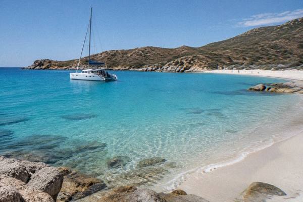
Ostriconi Beach
Ostriconi Beach is one of the great sandy bays of Corsica's northwest coast, a French Mediterranean island with more than 1,000 km of shoreline. This guide sets out what is known about the beach, its setting, swimming safety, weather and the boat and diving trips that work well from this part of the island.
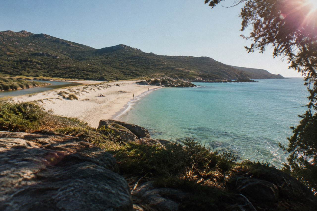
Ostriconi Beach is a sandy beach on the northwest coast of Corsica, the French Mediterranean island of 8,722 km2 with more than 1,000 km of coastline. It lies in Haute-Corse, the island's northern department, where supervised beaches are staffed by volunteer firefighters from about 1 July to 31 August.
Ostriconi Beach is a sandy bay on the northwest coast of Corsica, the French Mediterranean island of 8,722 km2 that ranks as the fourth-largest island in the Mediterranean and carries more than 1,000 km of coastline. The beach sits in Haute-Corse, the island's northern department, on a shore where the sea cuts deep into the land and the mountainous interior rises close behind. This page gathers what sources say about the beach and its stretch of coast, from swimming supervision and weather to the boat trips, dives and day trips that pair well with a visit.
Corsica is built around its sea. The island holds 360 communes, tops out at Monte Cinto at 2,706 m, and wraps its population of 365,636, the provisional INSEE estimate for 1 January 2026, around two busy coastal towns: Ajaccio with 76,320 residents and Bastia with 46,867. Beaches, coves and boat trips are not an add-on here. They are the core of a visit, and the northwest coast where Ostriconi Beach lies is one of the island's great sandy stretches.
Where Is Ostriconi Beach In Corsica?
Ostriconi Beach lies on the northwest coast of Corsica, in Haute-Corse, the island's northern department, on a shore that faces the Mediterranean between the Balagne coast and the western entrance to the Désert des Agriates. The beach belongs to an island of 8,722 km2 with more than 1,000 km of coastline, about 1,090 km excluding islets and estuaries by one official count, and it sits on the same sea-wrapped shore as L'Île-Rousse and Calvi.
Corsica's geography explains why a beach like this one matters. The island is the fourth-largest in the Mediterranean, its interior is genuinely mountainous, and its coastline runs long enough to hold everything from cliff-bound coves to broad sandy arcs. The Parc naturel régional de Corse, created in 1972 and now covering 4,484 km2, even reaches the sea: its western marine front runs 80 km from Capu Rossu to Capu Cavallu, a measure of how closely the island's protected natural estate and its beaches sit together.
The northwest holds a particular concentration of that shoreline. The Désert des Agriates begins along this coast, and its beaches, Saleccia and Lotu, are reached by boat shuttle from Saint-Florent about April to October, weather permitting, by 4x4 track from Casta, or on foot, as the official tourism listing reports. Ostriconi Beach sits on the same northwestern seaboard, at the point where the Agriates shore meets the greener Balagne side.
For context, here are the island figures that frame any Corsica beach visit.
| Island fact | Figure | Note |
|---|---|---|
| Area | 8,722 km2 | Fourth-largest Mediterranean island |
| Coastline | More than 1,000 km | About 1,090 km excluding islets and estuaries |
| Highest summit | Monte Cinto, 2,706 m | Mountainous interior |
| Communes | 360 | Whole island |
| Population | 365,636 | Provisional INSEE, 1 Jan 2026 |
| Haute-Corse population | About 190,500 | INSEE 2026 estimate |
Readers weighing a full loop of the island may find the site's overview of Corsica regions and coastlines useful, and the question of what the best beach in Corsica is is covered separately with the same evidence-based approach.
What Kind Of Beach Is Ostriconi Beach?
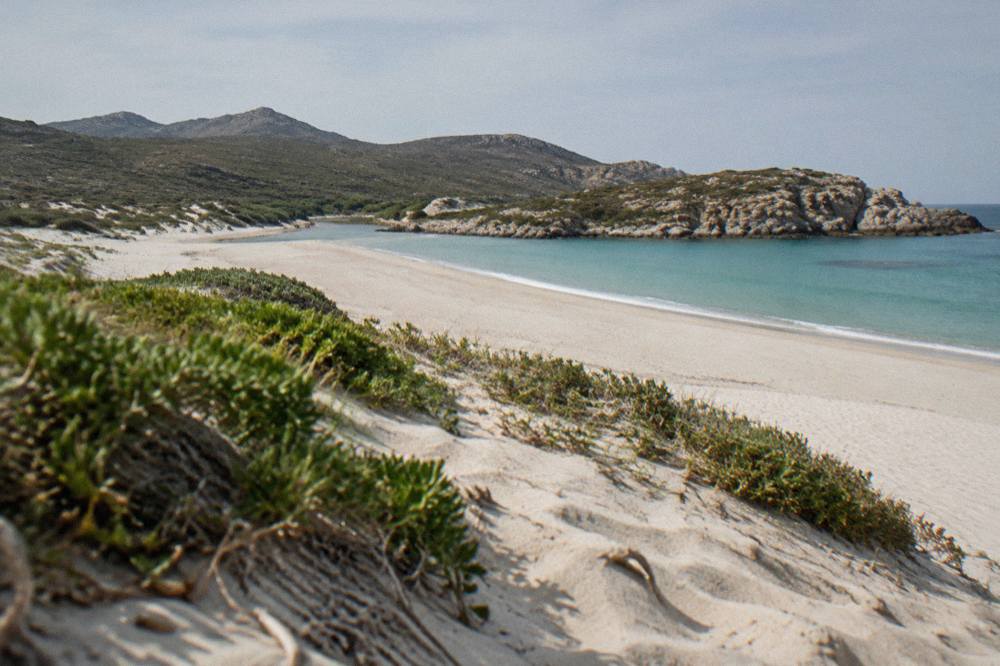
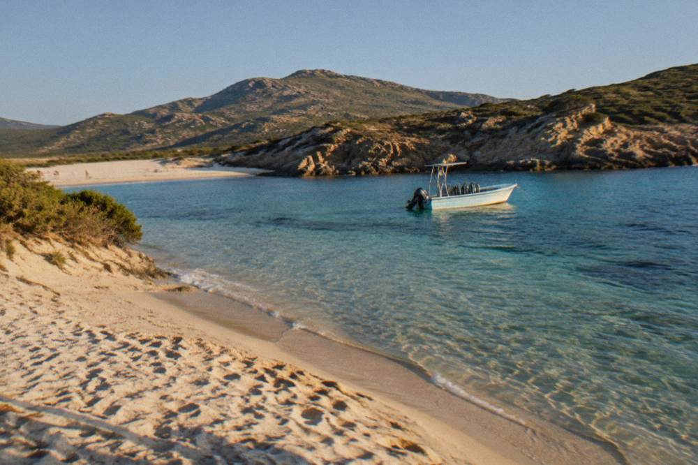
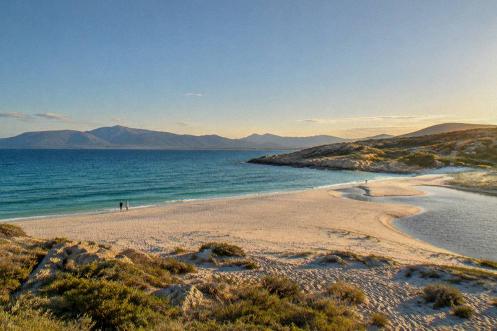
Ostriconi Beach is a broad sandy beach backed by dunes and low maquis vegetation on a coast where sand, river mouth and sheltered water combine, on an island whose shoreline mixes sandy bays, rocky calanques and reserve-protected cliffs. Published accounts treat Corsica's beaches as place names rather than measured assets: no official beach length, parking fee or water-quality figure appears for this beach in the published record, so this page describes the setting and leaves such specifics out.
What the record does establish is the character of the coast it belongs to. To the south and west lie the red granite cliffs of the Calanques de Piana and the Scandola Nature Reserve, the marine and land reserve created by ministerial order on 9 December 1975, with 1,000 ha of sea, 919 ha of land and a 70 ha integral reserve. To the north lies the long sand of the Agriates shore. Ostriconi Beach sits between these two worlds, on the softer, sandier side.
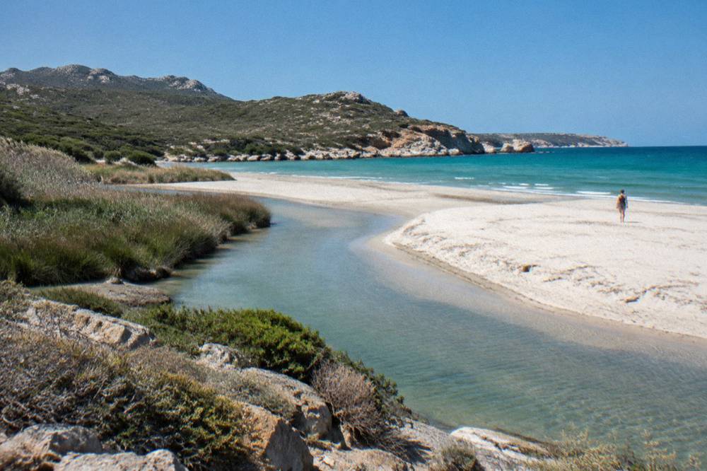
The beach also sits within reach of the Balagne, the northwest region whose coastline runs from L'Île-Rousse toward Calvi and whose hilltop villages sit just inland. That combination, sand on the shore and mountains within sight, is the signature of this part of Corsica, and it is why the island draws both swimmers and hikers in the same week. The island's long-distance paths make the point: Mare a Mare Nord runs 139 km, 161 km with its variant, and Mare e Monti Nord covers 121 km over about 10 days to Cargèse, both per the PNRC's own brochure.
| Corsica long trail | Length | Days | Climb |
|---|---|---|---|
| GR20 (Fra li Monti) | 180 km | About 15 stages of 4 to 8.5 h | Not published in the sources |
| Mare a Mare Nord | 139 km (161 km with variant) | 8 to 12 | 5,900 m |
| Mare a Mare Centre | 84 km | 6 to 7 | 3,900 m |
| Mare a Mare Sud | 73 km | 5 | 3,200 m |
| Mare e Monti Nord | 121 km | 10 | 6,100 m |
| Mare e Monti Sud | 66 km | 5 | 2,700 m |
For more on the neighbouring sandy shore, see the site's guides to Saleccia Beach and Lotu Beach, both inside the Désert des Agriates.
What Can You Do Around Ostriconi Beach In Corsica?
The coast around Ostriconi Beach works as a base for boat trips, first-time dives and village visits, with bookable options in Calvi, including a beginner scuba dive with an instructor and snorkelling in the Gulf of Calvi, on the Scandola and Piana coast, and out to the Lavezzi islands from Bonifacio.
From the Balagne end of this coast, a first scuba dive with an instructor departs from Calvi, a small-group, instructor-led introduction that suits complete beginners who want to see what lies under the Mediterranean surface. The details and live price sit on the operator's live listing: Check availability. The same port runs a boat tour toward Scandola, a sunset cruise to the Revellata peninsula, and snorkelling trips in the Gulf of Calvi and at the edge of the Revellata marine reserve.
Further south, the Golfe de Porto coast carries the biggest concentration of boat trips on the island, all of them serving the UNESCO World Heritage property "Gulf of Porto: Calanche of Piana, Gulf of Girolata, Scandola Reserve", inscribed in 1983. Scandola's land area is closed to the public and visits are by boat only, with no landing in the integral reserve, as the reserve's rules state. The site's guides to Scandola Nature Reserve, Girolata and the Calanques de Piana cover that coast in detail.
Inland from the beach, the old hilltop villages of the Balagne and the interior around Corte fill the days when the wind turns. Corte, the island's old capital, holds the Musée de la Corse in its citadel, where a single ticket at EUR 5.50 full price covers both museum and citadel, and road times from the museum's own practical page run 1 hour from Bastia and 1 hour 30 from Ajaccio or Calvi.
Is It Safe To Swim At Ostriconi Beach?
Swimming at Ostriconi Beach falls under Haute-Corse's summer supervision pattern, where the department's supervised beaches are staffed by volunteer firefighters from about 1 July to 31 August, per the published reporting. Ajaccio's main beaches, for comparison, run 7 lifeguard posts across July and August 2026. Outside those weeks, and on any unsupervised stretch, swimmers rely on their own judgement and the standard French beach flag system.
The safety framework for any Corsica beach visit is straightforward and worth knowing before you go. Beach flags mark supervised zones, red and yellow for patrolled swimming areas, and prefecture alerts cover waves and drowning risk. Reporting on departmental data counts an average of about 10 drownings a season in Corse-du-Sud, which is why the supervision calendar matters when planning swims with children.
| Safety element | What the sources say |
|---|---|
| Haute-Corse supervised beaches | Volunteer firefighters, about 1 July to 31 August |
| Ajaccio main beaches | 7 lifeguard posts, 1 July to end of August 2026 |
| Beach flags | Red and yellow mark supervised swimming zones |
| Emergency numbers | 112 (EU), 15 (medical), 17 (police), 18 (fire), 114 (SMS/app), 196 (sea rescue, VHF channel 16) |
| Mountain rescue | PGHM Ajaccio 04 95 24 24 00 |
| UK FCDO | High wildfire risk in France, April to October |
Fire risk shapes summer days on this coast as much as water safety. From 15 June to 30 September it is forbidden to light a fire or smoke in forests, maquis and massifs, and the daily fire-risk map of massif access is updated at 18:00 for the next day, with some massifs closing entirely on the severest days. None of that stops a beach day, but it explains why barbecue plans and off-trail walks need checking against the published risk level.
What Weather Can You Expect Near Ostriconi Beach?
The northwest coast of Corsica has a hot, dry summer and a mild, wet winter, per the Météo-France climate normals for 1991-2020, with August averaging a 29.8 °C daily high at the Bastia station and July averaging just 13.8 mm of rain. November carries the heaviest monthly rainfall at 134.3 mm at Bastia, and snow in Corsica falls on the high mountains rather than the shore.
The nearest long-record stations to this coast are Bastia on the northeast side and Ajaccio on the west, and their normals bracket the weather any visitor to the island's northern shore will meet. Both stations show the same shape: warm, bright, dry months from June through August, and the bulk of the year's rain from October through January. Bastia records 816.9 mm of rain across the year against Ajaccio's 635.0 mm. The rest of the planning pages sit on Corsica Travel Guide.
| Month | Bastia high °C | Bastia rain mm | Ajaccio high °C | Ajaccio rain mm |
|---|---|---|---|---|
| Jan | 13.8 | 67.3 | 14.0 | 54.1 |
| Feb | 13.9 | 63.5 | 14.2 | 48.1 |
| Mar | 15.8 | 63.7 | 16.0 | 50.4 |
| Apr | 18.3 | 71.6 | 18.5 | 53.1 |
| May | 22.4 | 53.7 | 22.1 | 49.8 |
| Jun | 26.4 | 38.8 | 25.9 | 25.9 |
| Jul | 29.4 | 13.8 | 28.6 | 8.6 |
| Aug | 29.8 | 21.1 | 29.2 | 15.8 |
| Sep | 26.0 | 74.5 | 26.1 | 57.8 |
| Oct | 22.0 | 126.5 | 22.8 | 85.7 |
| Nov | 17.7 | 134.3 | 18.3 | 111.8 |
| Dec | 14.8 | 88.1 | 15.1 | 73.9 |
Daylight follows the astronomical calendar, long in July with about 12.1 hours of daily sunshine averaged at Ajaccio against 4.0 in December, and the sea moderates the shoulder months enough that beach days often stretch well beyond August. The full month-by-month picture is in the site's guide to Corsica weather by month.
How Does Ostriconi Beach Compare With Other Corsican Beaches?
Ostriconi Beach belongs to the sandy northwest school of Corsican beaches, alongside the Agriates shores of Saleccia and Lotu, while the island's other headline sands sit on the southeast coast at Palombaggia, Santa Giulia and Rondinara near Porto-Vecchio, and Roccapina sits below Bonifacio. Each has its own guide on this site, presenting them as place names with distinct access stories rather than ranked contenders.
The comparison that matters to most itineraries is north versus south. The northern sands, including this beach, pair with the Balagne, Cap Corse and the Scandola boat coast. The southern sands pair with Bonifacio's cliffs and citadel, the Lavezzi islands and the day trips out of Porto-Vecchio. A visitor with a week can do both, and the site's Corsica in one week itinerary shows how.
| Beach | Coast | Access notes from the record |
|---|---|---|
| Ostriconi Beach | Northwest, Haute-Corse | Sandy bay on the shore between Balagne and the Agriates |
| Saleccia | Désert des Agriates | Boat shuttle from Saint-Florent about April to October, 4x4 track from Casta, or on foot |
| Lotu | Désert des Agriates | Same shuttle, track and walking access as Saleccia |
| Palombaggia | Near Porto-Vecchio | Southeast sandy shore, guide on this site |
| Santa Giulia | Near Porto-Vecchio | Southeast sandy shore, guide on this site |
| Rondinara | Between Bonifacio and Porto-Vecchio | Southeast bay, guide on this site |
| Roccapina | South of Bonifacio | Southern shore, guide on this site |
The deeper guides on the individual beaches carry the detail: Palombaggia Beach, Santa Giulia Beach, Rondinara Beach and Plage de Roccapina.
How Do You Plan A Day Around Ostriconi Beach?
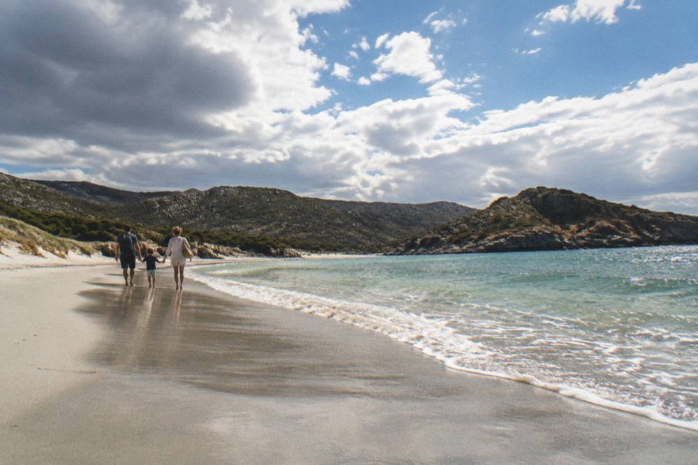
A day around Ostriconi Beach works best when it pairs the morning on the sand with an afternoon on the water or in the hills, using the building blocks of this coast: a boat trip from the Balagne or Porto, a dive or snorkel session from Calvi, or a drive into the interior toward Corte, which sits 1 hour 30 by road from Calvi per the museum's own practical page.
The island's size, 8,722 km2, keeps every one of these options inside a single day's reach from the northwest coast.
A few planning anchors hold the day together. The Chemins de fer de la Corse runs the island's rail lines, including the Balagne coastal line between Calvi and L'Île-Rousse, per the operator's timetables. Ferries serve the ports from Marseille, Toulon, Nice, Livorno, Savona and Santa Teresa Gallura, with the short Sardinia link from Santa Teresa Gallura to Bonifacio taking about 50 to 60 minutes, so beach days can be stitched into an island-plus-Sardinia trip. And the four airports, Ajaccio Napoléon Bonaparte (AJA), Bastia Poretta (BIA), Figari Sud Corse (FSC) and Calvi Sainte-Catherine (CLY), put arrivals within reach of this shore.
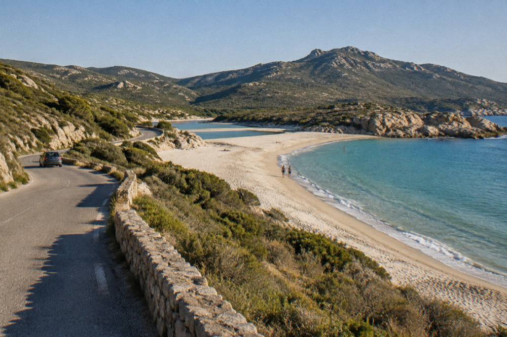
Practical rules worth carrying: tipping is optional because French menus must state "prix service compris" with the service included; the currency is the euro; and Inforoutes Corse publishes live road conditions and accessibility levels for the main mountain passes, which matters on the narrow coastal and inland roads of this region. Drivers planning wider exploration should read the site's driving in Corsica guide before setting out.
What Else Should You Know Before Visiting Ostriconi Beach?
Before visiting Ostriconi Beach, check the fire-risk map in summer, swim at supervised beaches between 1 July and 31 August, carry the emergency numbers 112 and 196 for the sea, and book any boat trip or dive ahead, since the island's tours are its busiest products and the 2025 passenger count through ports and airports topped 8.5 million. The beach itself asks for the standard care any open Mediterranean shore asks: respect the maquis, take litter away, and follow local signage.
The island's food culture rewards a stop on the way. Brocciu obtained its appellation d'origine in 1983, the three charcuterie cuts prisuttu, lonzu and coppa took AOC in 2012 and AOP in 2014, and Corsican honey, chestnut flour, olive oil and clémentines all carry protected names. A picnic of island produce on the sand is the cheapest good meal in Corsica, and the site's guide to Corsican food and what to eat lists the names to look for.
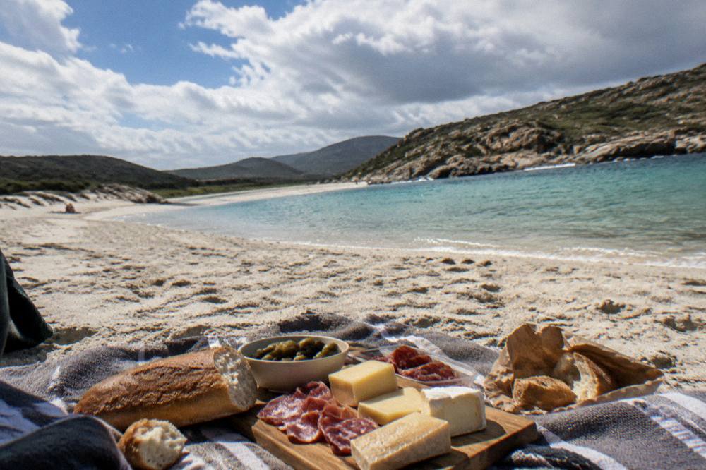
For travellers combining this coast with the rest of the island, the practical pages continue from here: Corsica travel tips, Corsica safety and the master list of things to do in Corsica. The beach is one stop on a coast that holds UNESCO cliffs, guarded reserves and some of the widest sand in the Mediterranean, and it repays a slow day more than a rushed one.
Common Questions About Ostriconi Beach
Where Is Ostriconi Beach?
Ostriconi Beach is on the northwest coast of Corsica, in Haute-Corse, on the shore between the Balagne and the Désert des Agriates. Corsica is the French Mediterranean island of 8,722 km2 with more than 1,000 km of coastline.
Can You Swim At Ostriconi Beach?
Yes. Swimming follows the standard pattern for Haute-Corse, where supervised beaches are staffed by volunteer firefighters from about 1 July to 31 August. Outside that window, swim with care, heed the beach flags, and keep the sea rescue number 196 in mind when on or near the water.
What Is The Weather Like Near Ostriconi Beach?
Per the Météo-France climate normals for 1991-2020, summers are hot and dry and winters mild and wet. At the Bastia station, August averages a 29.8 °C daily high and July 13.8 mm of rain, while November carries 134.3 mm of rain, the highest monthly figure on the table.
What Is There To Do Near Ostriconi Beach?
The coast supports boat trips, snorkelling and first dives from Calvi, cruises to Scandola and the Calanques de Piana from the Golfe de Porto, and village and museum visits inland toward Corte. The Balagne coastal rail line between Calvi and L'Île-Rousse also runs along this shore.
Are There Lifeguards At Ostriconi Beach?
Haute-Corse's supervised beaches are staffed by volunteer firefighters from about 1 July to 31 August, per the published reporting. Ajaccio's main beaches, for comparison, run 7 lifeguard posts across July and August 2026. Check locally which posts are open on the day.
Is Ostriconi Beach Family Friendly?
The beach belongs to the island's broad sandy northwest shore, and Corsica as a destination works well for families, with supervised swimming in July and August and a full range of boat trips, short walks and village visits. The site's Corsica with kids guide covers the practicalities.