Corsica Map
Corsica covers 8,722 km2 and has more than 1,000 km of coastline wrapped around a mountainous interior that tops out at Monte Cinto, 2,706 m. This guide reads the island like a map: the two big towns, the six main bases, the coasts, the road and rail arteries, and where the ferries and flights arrive.
Corsica sits in the Mediterranean with sea on every side: Ajaccio and Bastia are the two largest towns, Corte anchors the mountainous interior, and Bonifacio, Porto-Vecchio, Calvi and L'Île-Rousse spread along the coasts. Four airports and its ferry ports connect the island to mainland France and Italy.
Corsica is the French Mediterranean island of 8,722 km2, the fourth-largest island in the Mediterranean, with more than 1,000 km of coastline wrapped around a mountainous interior whose highest summit is Monte Cinto at 2,706 m. Reading a map of the island well means understanding three layers at once: the sea rim, where the ports, beaches and resort towns sit; the mountain spine, where Corte and the hiking country begin; and the gateways, the four airports and its ferry ports that tie the island to Marseille, Toulon, Nice, Livorno, Savona, Genoa and Sardinia. The island counts 360 communes and 365,636 residents (INSEE provisional estimate, 1 January 2026), of whom 76,320 live in the capital Ajaccio and 46,867 in Bastia, the second town. Each layer is covered in turn, and the Corsica Travel Guide site has a dedicated page for nearly every place named here.
Where Is Corsica On The Map?
Corsica lies in the western Mediterranean, north of Sardinia and west of the Italian coast, and it is a single French island administered as the Collectivité de Corse with two departments, Corse-du-Sud (2A) in the south and Haute-Corse (2B) in the north. The island covers 8,722 km2 and is the fourth-largest island in the Mediterranean, with sea on every side and a mountainous interior whose highest point, Monte Cinto, rises to 2,706 m.
The island has been a single territorial authority with special status, the Collectivité de Corse, since 1 January 2018, replacing the earlier collectivity and the two departmental councils. The population split follows the map: about 175,100 residents in Corse-du-Sud and about 190,500 in Haute-Corse (INSEE 2026 estimates). Ajaccio, the capital, sits in Corse-du-Sud; Bastia, the second town, anchors Haute-Corse.
The Parc naturel régional de Corse, created in 1972, now covers 4,484 km2 of that surface, including the Castagniccia and the big valleys that run down to the sea. The park's western sea front runs 80 km from Capu Rossu to Capu Cavallu, which is why so much of the protected coastline, from the Calanques de Piana to the Golfe de Porto, appears on every map of the island as the stretch of red rock and reserve. For a deeper comparison with the island next door, see Corsica vs Sardinia.
What Are The Main Towns And Bases On A Corsica Map?
The six bases that structure a Corsica map are Ajaccio (76,320 residents, the capital) on the west coast, Bastia (46,867) at the north-east tip, Bonifacio at the southern tip, Porto-Vecchio on the south-east coast, Calvi and L'Île-Rousse on the north-west coast, and Corte in the mountainous centre. Corte is the old capital and the only one of these that sits inland; the rest are coastal, and every one is either a ferry port or a short hop from an airport.
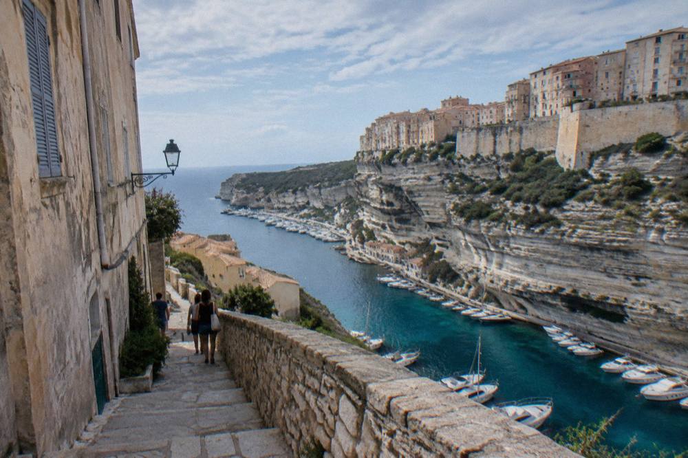
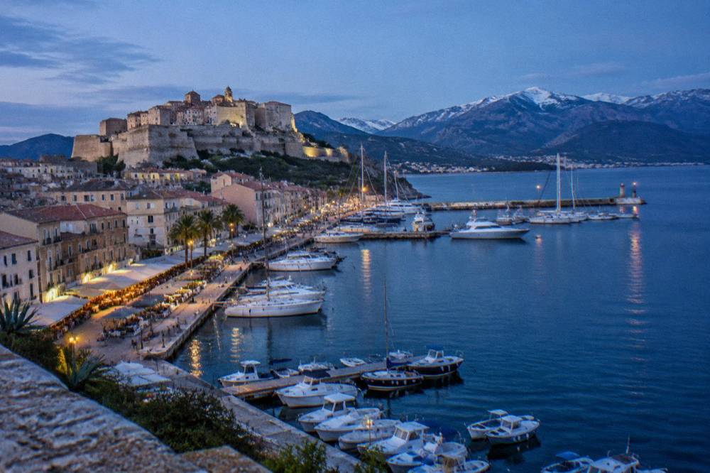
Ajaccio holds the island's largest population and its principal airport, and the town's own Ajaccio guide covers the gulf and the Îles Sanguinaires. Bastia is the ferry workhorse in the north-east, with the old harbor at its centre. Bonifacio perches above its cliffs at the southern tip facing Sardinia; Porto-Vecchio fronts the south-east beaches; Calvi and L'Île-Rousse open onto the Balagne, the cultivated north-west region. Corte, in the centre, is where the road and rail map of the island cross.
| Base | Position on the map | Character |
|---|---|---|
| Ajaccio | West coast, central | Capital, 76,320 residents, largest airport |
| Bastia | North-east tip | Second town, 46,867 residents, main ferry hub |
| Bonifacio | Southern tip | Clifftop citadel facing Sardinia |
| Porto-Vecchio | South-east coast | Gateway to Palombaggia and Santa Giulia |
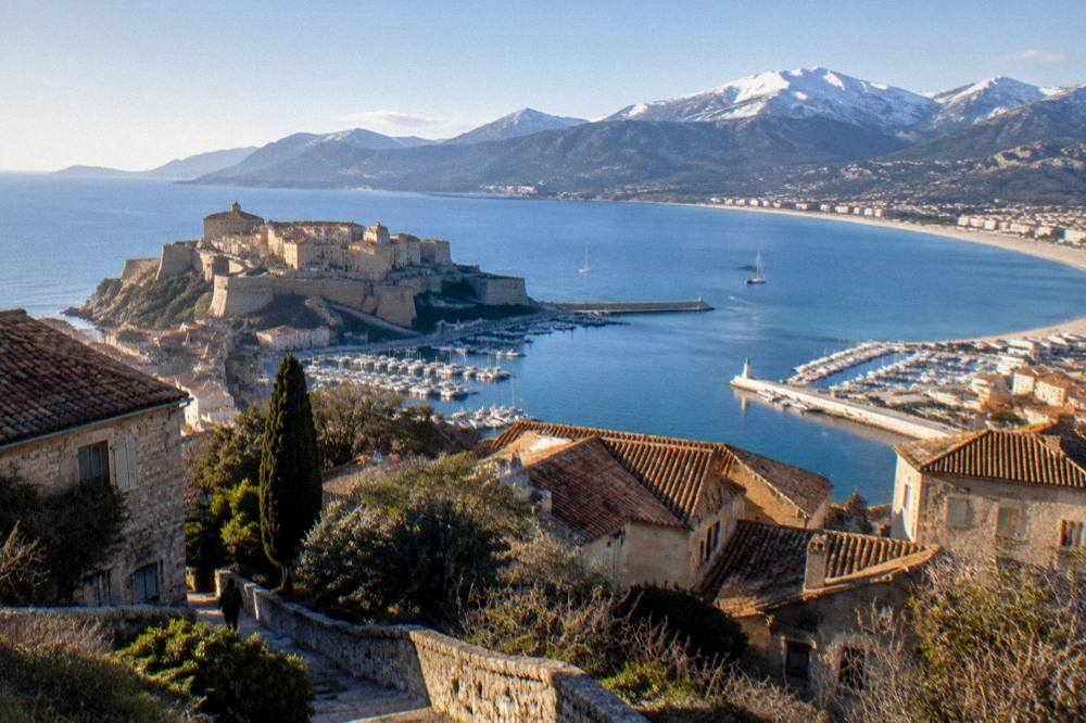
| Calvi | North-west coast | Citadel and Balagne coast |
| L'Île-Rousse | North-west coast | Balagne seaside town, ferry port |
| Corte | Centre | Old capital, inland, road and rail crossroads |
Road times to Corte, from the Musée de la Corse practical page, give a sense of the island's real scale from the middle of the map: Bastia 1 hour, Ajaccio 1 hour 30, Calvi 1 hour 30, Porto-Vecchio 2 hours, Bonifacio 2 hours 45, Propriano 2 hours 45. For where to sleep, the Where To Stay In Corsica page breaks the bases down by trip style.
What Do The Coasts Of Corsica Look Like On A Map?
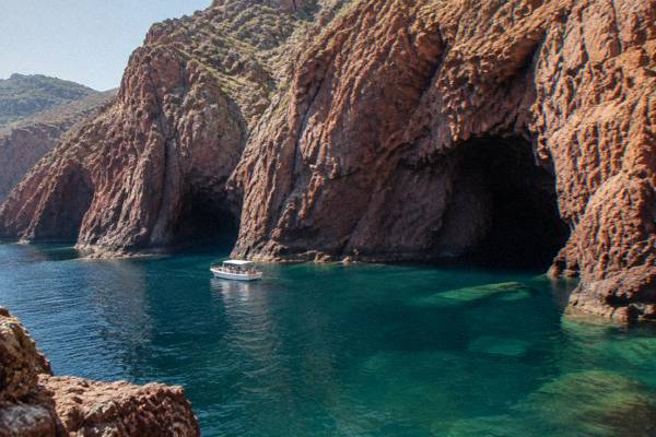
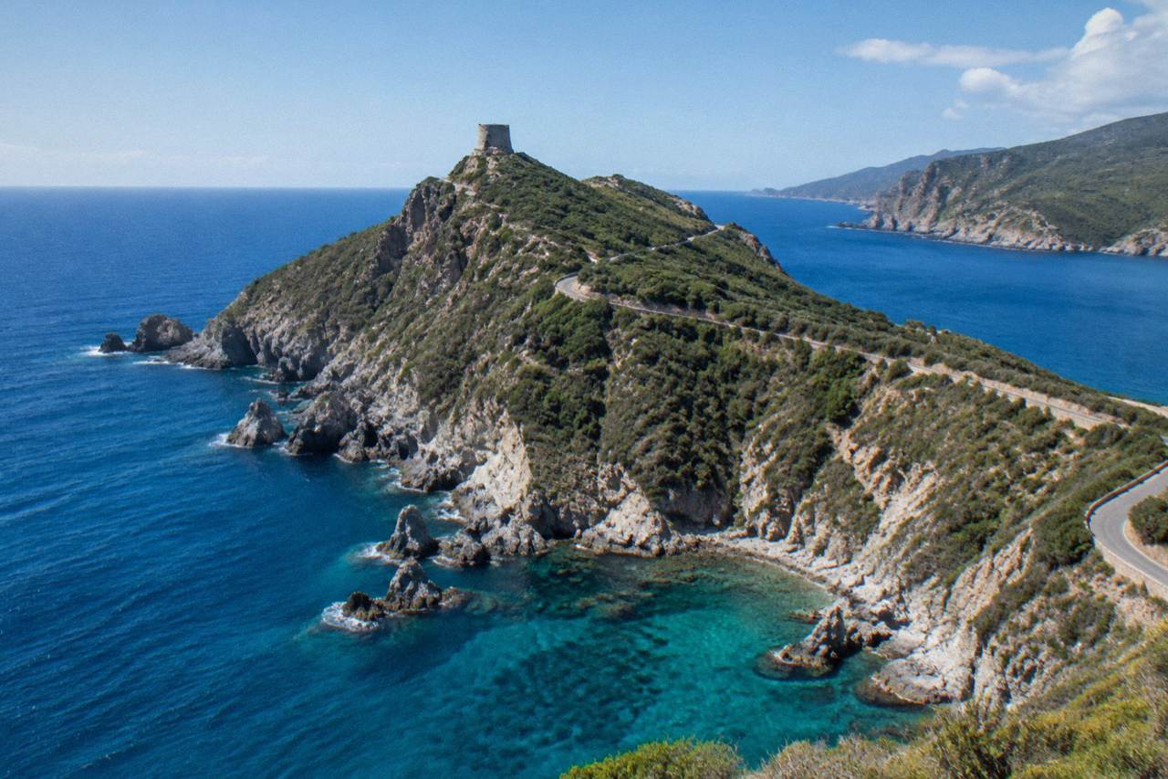
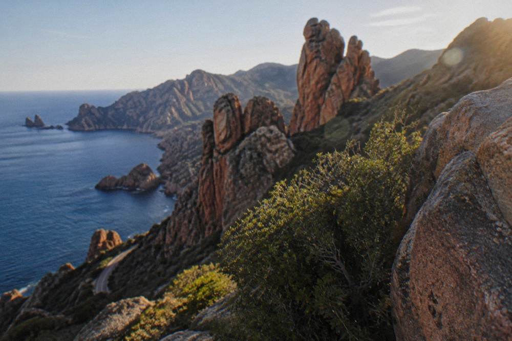
Corsica's coastline runs more than 1,000 km, and on a map it divides naturally into west-coast rock and east-coast sand: the Golfe de Porto with the Calanques de Piana, Girolata and the Scandola Reserve in the west, the Désert des Agriates and Cap Corse in the north, the beaches of Porto-Vecchio in the south-east, and the cliffs of Bonifacio at the southern tip. The west is the UNESCO-registered coast; the east is the beach coast.
The west coast between Piana and Girolata forms part of the UNESCO World Heritage property "Gulf of Porto: Calanche of Piana, Gulf of Girolata, Scandola Reserve", inscribed in 1983 (dossier 258, 11,800 ha, natural criteria vii, viii and x). The Scandola Nature Reserve itself, the first nature reserve created in Corsica by ministerial order of 9 December 1975, covers 1,000 ha of sea and 919 ha of land with a 70 ha integral reserve, and its terrestrial part is closed to the public: visits are by boat only. The related pick for this page, the Corse Emotion Half-Day Cruise, is one such boat, departing from the Golfe de Porto and covering Scandola and the Calanche de Piana, with Check availability as the live option.
In the north, the Désert des Agriates holds the beaches of Saleccia and Lotu, reached by boat shuttle from Saint-Florent (about April to October, weather permitting), by 4x4 track from Casta, or on foot. Cap Corse is the long peninsula at the north-east tip. In the south-east, Palombaggia, Santa Giulia and Rondinara front Porto-Vecchio, and at the southern tip Bonifacio's cliffs look across the strait to Sardinia, with the Îles Lavezzi sitting inside the Bouches de Bonifacio Nature Reserve. The Corsica Beaches page maps the swimming coast in detail.
| Coastal feature | Map position | Key fact |
|---|---|---|
| Calanques de Piana | West coast, south of Porto | Part of UNESCO property 258, inscribed 1983 |
| Scandola Reserve | West coast at the Golfe de Porto | 1,000 ha sea, 919 ha land, boat access only |
| Girolata | West coast, in the Golfe de Porto | Reached by sea or on foot |
| Îles Sanguinaires | Ajaccio gulf, west | Boat trips from Ajaccio and Porticcio |
| Désert des Agriates | North, behind Saint-Florent | Saleccia and Lotu, shuttle access |
| Îles Lavezzi | South, off Bonifacio | Inside the Bouches de Bonifacio Reserve |
| Escalier du Roi d'Aragon | Bonifacio, southern tip | 189 steps cut down the cliff |
Where Do The Mountains Sit On A Corsica Map?
The mountainous interior occupies the centre and south of the Corsica map: Monte Cinto (2,706 m) is the highest summit, Corte is the inland hub at the heart of the island, the Gorges de la Restonica climb from Corte, and the Aiguilles de Bavella stand in the far south above the Alta Rocca. The GR20 runs 180 km north to south across this spine, in about 15 stages of 4 to 8.5 hours each.
The interior is the island's inland part, and its geography explains why drive times on the map look long for such a compact island. Corte's citadel houses the Musée de la Corse, where one ticket covers the museum and the citadel, and the practical page there gives the road times quoted above. South of Corte, the Restonica valley climbs into the high country; further south still, the Aiguilles de Bavella and the Forêt d'Aïtone sit inside the regional park's territory.
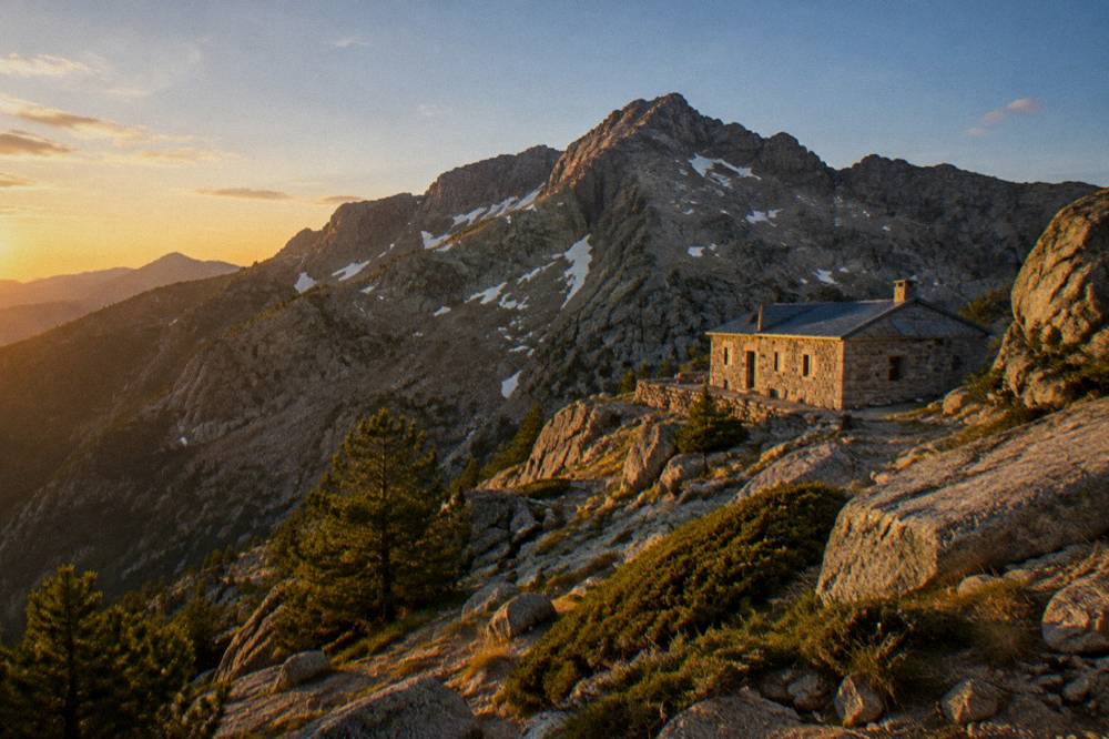
The GR20, the island's famous long-distance trail, starts at Calenzana in the north and runs 180 km south, with PNRC refuges guarded in 2026 from 16 May to 4 October. Booking refuge nights is mandatory and online only, at EUR 20 per person for a bunk and EUR 12 for a bivouac pitch; a rented tent for one is EUR 27 and for two EUR 39. Dogs are not allowed inside refuges or rented tents, and there are no GR20 departures from Calenzana after 11:00 under the municipal fire-risk order. The full picture is in the Corsica GR20 Guide, and gentler options in Hiking In Corsica.
| Long trail | Length | Days | Total climb |
|---|---|---|---|
| GR20 (Fra li Monti) | 180 km | About 15 stages | Not stated on primary pages |
| Mare e Monti Nord | 121 km | 10 | 6,100 m |
| Mare a Mare Nord | 139 km (161 km with variant) | 8 to 12 | 5,900 m |
| Mare a Mare Centre | 84 km | 6 to 7 | 3,900 m |
| Mare a Mare Sud | 73 km | 5 | 3,200 m |
| Mare e Monti Sud | 66 km | 5 | 2,700 m |
How Do You Read The Ferry Ports On A Corsica Map?
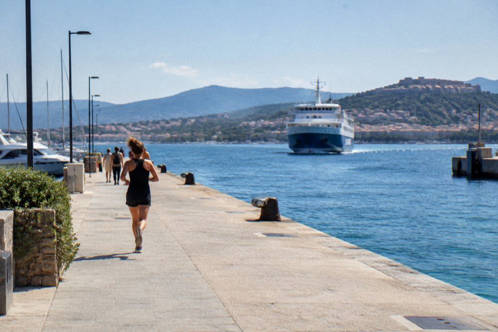
Seven Corsican ports take ferries: Ajaccio, Bastia, Bonifacio, L'Île-Rousse, Propriano and Porto-Vecchio, served from mainland France by Corsica Linea and La Méridionale from Marseille, by Corsica Ferries from Toulon and Nice, and from Italy by Corsica Ferries and Moby from Livorno, Savona and Genoa, with Moby and Ichnusa Lines linking Santa Teresa Gallura in Sardinia to Bonifacio. More than 8.5 million passengers, excluding cruise passengers, passed through Corsica's ports and airports in 2025.
The map logic is simple: Bastia is the closest big port to Italy, so Livorno, Savona and Genoa sailings concentrate there; Ajaccio and Propriano face the French mainland; Bonifacio is the short-hop port from Sardinia, a crossing of about 50 to 60 minutes. Reported crossing ranges from the ferry aggregators give Livorno to Bastia about 4 to 5 hours, Savona to Bastia about 6.5 hours, Nice to Bastia about 7.5 to 10 hours, Toulon routes about 10 to 13 hours and Marseille routes about 12 to 13 hours, mostly overnight.
| Ferry port | Mainland and island links | Operators (as listed) |
|---|---|---|
| Bastia | Marseille, Toulon, Nice, Livorno, Savona, Genoa | Corsica Linea, Corsica Ferries, Moby |
| Ajaccio | Marseille, Toulon, Nice | Corsica Linea, La Méridionale, Corsica Ferries |
| L'Île-Rousse | Marseille, Toulon, Nice | Corsica Linea, Corsica Ferries |
| Propriano | Marseille, Toulon | Corsica Linea, Corsica Ferries |
| Porto-Vecchio | Marseille, Toulon, Nice | La Méridionale, Corsica Ferries |
| Bonifacio | Santa Teresa Gallura (Sardinia) | Moby, Ichnusa Lines |
| Calvi | Seasonal mainland links | Corsica Ferries (as listed) |
The route pages go deeper: Ferry To Corsica, Nice To Corsica Ferry and Corsica Sardinia Ferry.
Where Are The Four Corsican Airports On The Map?
The four airports are Ajaccio Napoléon Bonaparte (AJA) on the west coast, Bastia Poretta (BIA) inland of the north-east coast, Figari Sud Corse (FSC) near Bonifacio in the far south, and Calvi Sainte-Catherine (CLY) on the north-west coast, and together with the ports they carried more than 8.5 million passengers in 2025. Each airport sits close to one of the island's main bases, so the flight you pick effectively chooses your starting corner of the map.
AJA serves Ajaccio and the west; BIA sits about halfway between Bastia and the interior, convenient for Cap Corse and Corte; FSC covers Bonifacio and Porto-Vecchio; CLY opens the Balagne. The Corsica Airports page maps all four, with dedicated pages for Ajaccio Airport and Bastia Airport, and Flights To Corsica covers how the island is reached by air.
How Do Roads And The Train Map Onto Corsica?
Corsica's road map is a coastal ring with interior spokes: the main axes link Bastia to Ajaccio via Corte, Bastia to Calvi via the Balagne, and Ajaccio to Bonifacio and Porto-Vecchio along the west and south coasts, while the Chemins de fer de la Corse run three rail lines, Ajaccio to Bastia via Corte, Ponte-Leccia to Calvi, and the Balagne coastal line between Calvi and L'Île-Rousse. Inforoutes Corse publishes live road conditions and accessibility levels for the main mountain passes.
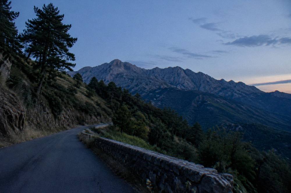
Mountain roads are the defining feature of driving on this island: narrow, winding, and subject to live status updates when cols are restricted. Inforoutes Corse is the standing reference for road conditions, and the Driving In Corsica and Corsica Car Rental pages carry the practical detail, with Getting Around Corsica covering train and road together.
One fire rule shapes summer movement across the whole map: from 15 June to 30 September it is forbidden to light a fire or smoke in forests, maquis and massifs, and the fire-risk map is updated at 18:00 for the next day, with access to some massifs restricted from mid-June to mid-September. The UK FCDO notes a high wildfire risk in France from April to October. Emergency numbers for the whole island are 112, 15 (medical), 17 (police), 18 (fire), 114 (SMS/app) and 196 for sea rescue on VHF channel 16; mountain rescue is the PGHM at Ajaccio, 04 95 24 24 00, with 112 or 17 in an emergency. The Corsica Safety page collects this.
How Does The Weather Map Onto Corsica?
Corsica's climate splits the map into a hot dry summer and a mild wet winter, with snow only on the high mountains: the Météo-France 1991-2020 station normals for Ajaccio show July averaging 8.6 mm of rain and August a mean daily high of 29.2 °C, while November carries 111.8 mm of rain at Ajaccio and 134.3 mm at Bastia, the highest monthly totals on each table. The annual rain total is 635.0 mm at Ajaccio and 816.9 mm at Bastia.
The two stations bracket the island's west and east. The tables below give the full normals, stated as Météo-France station data for the period 1991-2020: Ajaccio from Campo dell'Oro, Bastia from station 20148001. No sea-temperature figure is carried, and no single month is named as the one to choose; month-by-month planning detail sits in Corsica Weather By Month and Best Time To Visit Corsica.
| Month | Ajaccio high °C | Ajaccio rain mm | Bastia high °C | Bastia rain mm |
|---|---|---|---|---|
| Jan | 14.0 | 54.1 | 13.8 | 67.3 |
| Feb | 14.2 | 48.1 | 13.9 | 63.5 |
| Mar | 16.0 | 50.4 | 15.8 | 63.7 |
| Apr | 18.5 | 53.1 | 18.3 | 71.6 |
| May | 22.1 | 49.8 | 22.4 | 53.7 |
| Jun | 25.9 | 25.9 | 26.4 | 38.8 |
| Jul | 28.6 | 8.6 | 29.4 | 13.8 |
| Aug | 29.2 | 15.8 | 29.8 | 21.1 |
| Sep | 26.1 | 57.8 | 26.0 | 74.5 |
| Oct | 22.8 | 85.7 | 22.0 | 126.5 |
| Nov | 18.3 | 111.8 | 17.7 | 134.3 |
| Dec | 15.1 | 73.9 | 14.8 | 88.1 |
October and November carry the heaviest rain on both tables, and the summer months the least, with July at 8.6 mm in Ajaccio. Sunshine averages run from 4.0 hours a day in Ajaccio's December to 12.1 hours a day in July, on the same normals.
How Do You Turn The Corsica Map Into An Itinerary?
A Corsica itinerary follows the map's logic: the island's road times mean a first trip usually splits between two bases, one in the north or west (Calvi, L'Île-Rousse, Bastia or Ajaccio) and one in the south or east (Bonifacio, Porto-Vecchio or Propriano), with Corte added for the interior, and the island's own ready-made sequences run from three days to two weeks, ending at the full ring plus the GR20 for walkers. The itineraries on this site are built directly on those road-time realities.
The published sequences cover Corsica In 3 Days, Corsica In 5 Days, Corsica In One Week, Corsica In 10 Days and Corsica In 14 Days, plus themed versions such as Corsica Road Trip, Corsica North Itinerary and Corsica South Itinerary. The day-trip layer covers the classic map jumps: Scandola And Girolata Boat Trip, Bonifacio And Lavezzi Day Trip, Restonica And Corte Day Trip and Desert Des Agriates Day Trip. For the first-time reader, First Time In Corsica and the root things to do in Corsica page hold the overview.
Budget and practical reading close the planning layer: Corsica Cost And Budget, Corsica Travel Tips, Corsica With Kids and Corsica Solo each map onto a specific trip style, and the currency throughout is the euro.
Common Questions About The Corsica Map
Where Is Corsica On The Map?
Corsica lies in the western Mediterranean, north of Sardinia and west of the Italian mainland. It is a French island of 8,722 km2 with more than 1,000 km of coastline, administered as the Collectivité de Corse with the departments Corse-du-Sud (2A) and Haute-Corse (2B).
What Are The Main Towns On A Corsica Map?
Ajaccio is the capital with 76,320 residents, and Bastia is the second town with 46,867. Bonifacio, Porto-Vecchio, Calvi, L'Île-Rousse and Corte, the old capital in the interior, complete the main bases.
Where Do The Ferries Arrive In Corsica?
The ferry ports are Ajaccio, Bastia, Bonifacio, L'Île-Rousse, Propriano and Porto-Vecchio, with sailings from Marseille, Toulon, Nice, Livorno, Savona, Genoa and Santa Teresa Gallura in Sardinia.
How Many Airports Does Corsica Have?
Four: Ajaccio Napoléon Bonaparte (AJA), Bastia Poretta (BIA), Figari Sud Corse (FSC) and Calvi Sainte-Catherine (CLY). Ports and airports together handled more than 8.5 million passengers in 2025.
Is Corte On The Coast?
No. Corte sits inland at the centre of the island and is the old capital. It is the road and rail crossroads of the interior, about 1 hour by road from Bastia and 1 hour 30 from Ajaccio.
Where Are The Scandola Reserve And The Calanques De Piana On The Map?
Both sit on the west coast at the Golfe de Porto, inside the UNESCO World Heritage property "Gulf of Porto: Calanche of Piana, Gulf of Girolata, Scandola Reserve", inscribed in 1983. Scandola's land area is closed to the public and visits are by boat only.